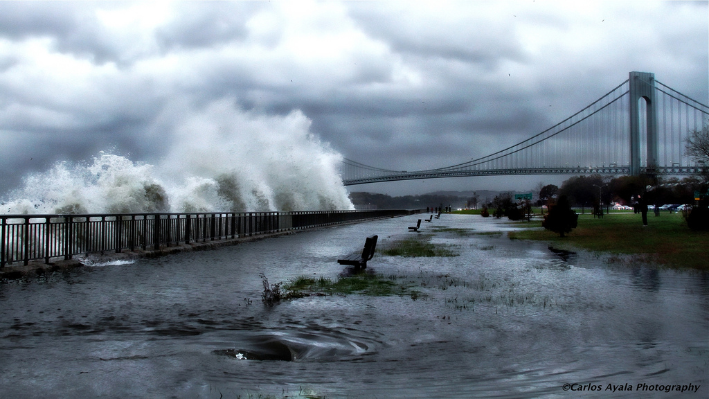
Superstorm Sandy lived up to the predictions that weather forecasters laid out days in advance.
"In all regards, it was extremely well forecast," said Brian McNoldy, a weather researcher at the University of Miami. "Intensity and track, and then the impacts were pretty well expected."
For several of the outcomes, the reality of Hurricane Sandy lived up to the hype:
- A week before the storm, European weather models predicted a monster storm that would wreak havoc all along the entire Eastern Seaboard. [See Photos of Sandy's Aftermath]
- As far back as last Thursday (Oct. 25), the National Weather Service accurately predicted the storm would make landfall in southeastern New Jersey.
- The forecast of maximum wind speeds reaching 70 miles per hour (113 kilometers per hour) matched widespread reports of gusts reaching between 65 and 75 mph (105 and 121 kph).
- The 13-foot (3.9 meters) waves at the Battery Park in lower Manhattan crushed the 1821 record for storm-surge height there. In the days before the storm, the National Weather Service predicted record surges and flooding in the New York and New Jersey region, with peak levels of 11 to 13 feet (3 to 4 m) at the Battery.
- A few days out, the National Weather Service accurately forecast the 2-3 feet (just under a meter) of snow piling up in Appalachia in West Virginia.
A few predictions missed the mark:
- The National Weather Service expected the monster storm to make landfall late Monday night or early Tuesday morning, several hours later than the storm's arrival around 8 p.m. ET Monday night.
- On Sunday (Oct. 28), researchers predicted that more than 10 million people could be in the dark. Because the storm was moving faster than expected, fewer people total —closer to 8 million — probably lost power at some point in the storm.
Better modeling
The forecasts were so accurate in part because of improvements in computer models that predict the behavior of weather patterns in the atmosphere, said Louis Uccellini, a meteorologist at the National Oceanic and Atmospheric Administration (NOAA).
"Even 15 or 20 years ago, we would not have been able to do this," Uccellini told LiveScience.
Get the world’s most fascinating discoveries delivered straight to your inbox.
In the days before Sandy, the weather service also increased its measurements, deploying 150 storm sensors to measure ocean conditions; the service also stepped up measurements in the atmosphere.
For instance, meteorologists routinely launch two weather balloons a day at certain sites across the U.S., McNoldy told LiveScience.
"For the few days leading up to the landfall, they were launching them four times a day, and that's to hopefully allow the computer models to be more accurate," he said.
They also increased the number of aircrafts flying into the weather pattern to improve the models, he said.
And the widespread use of satellites has dramatically improved predictions, said Cliff Mass, an atmospheric scientist at the University of Washington in Seattle. Before then, scientists relied on a few ships sailing the vast oceans to report big storms, Mass told LiveScience.
"Now we know what's going on over the ocean," he said.
Follow LiveScience on Twitter @livescience. We're also on Facebook & Google+.

Tia is the editor-in-chief (premium) and was formerly managing editor and senior writer for Live Science. Her work has appeared in Scientific American, Wired.com, Science News and other outlets. She holds a master's degree in bioengineering from the University of Washington, a graduate certificate in science writing from UC Santa Cruz and a bachelor's degree in mechanical engineering from the University of Texas at Austin. Tia was part of a team at the Milwaukee Journal Sentinel that published the Empty Cradles series on preterm births, which won multiple awards, including the 2012 Casey Medal for Meritorious Journalism.


