
Facts About the 1964 Alaska Earthquake
This year marks the 50th anniversary of the 1964 Great Alaska Earthquake, an event that transformed how geologists view the Earth. Here are 11 interesting facts and figures about this historic earthquake.
- Of the 131 people killed during the earthquake, 119 died in tsunamis. Most were killed by tsunamis triggered by underwater landslides, not by the earthquake-induced tsunami.
- In Chenega, 25 of the village's 76 residents drowned in a tsunami. The only building that survived the wave intact was the schoolhouse, built 100 feet (30 meters) above sea level.
- Several towns and villages were moved to safer ground after the tsunamis, including Seward, Valdez, Girdwood and Chenega.
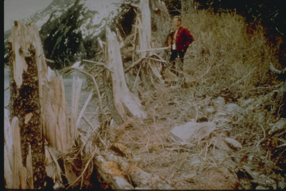
- The tallest tsunami wave height was 219 feet (67 m) in Shoup Bay in the Valdez Inlet.
- The world rang like a bell for several weeks from the earthquake waves.
- Seiche waves, sloshing of water back and forth in a small body of water like a boat harbor or swimming pool, were noted as far away as Louisiana, where a number of fishing boats were sunk. Oscillations in the height of water in wells were reported as far away as South Africa.
- The earthquake initially had a magnitude of 8.5 on the Richter scale. The moment magnitude scale, a better measure of seismic power, has since superseded the Richter scale. The new size estimate is magnitude 9.2, the second most powerful ever recorded.
- If the energy of a magnitude-5 earthquake is like snapping a single spaghetti strand, then a magnitude-9.2 earthquake releases enough energy to snap 800,000 spaghetti strands, according to the U.S. Geological Survey.
- The damage totaled about $300 million in 1964 dollars ($2.3 billion in 2013 dollars).
- Four out of five earthquakes in the United States occur in Alaska.
- After the 1964 megathrust earthquake, three-quarters of the Aleutian subduction zone ruptured in a span of eight years. The subduction zone is 2,100 miles (3,300 kilometers) long.
Email Becky Oskin or follow her @beckyoskin. Follow us @OAPlanet, Facebook and Google+. Original article at Live Science's Our Amazing Planet.
TOPICS

More about earthquakes


LATEST ARTICLES
