Endangered River: Images of the San Joaquin
San Joaquin
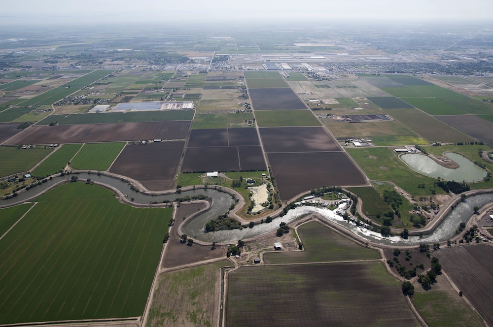
The San Joaquin flows into the Bay Delta near Stockton, Calif.
San Joaquin
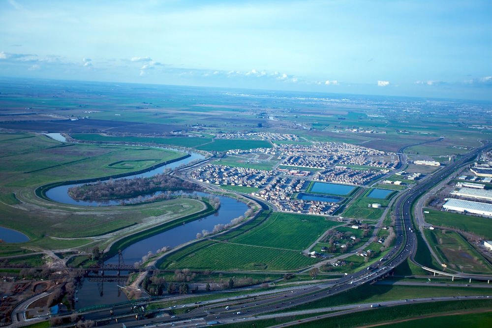
The San Joaquin River flowing near Sacramento, Calif.
Dry San Joaquin
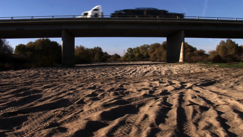
More than 100 miles (160 kilometers) of the San Joaquin runs dry, according to American Rivers.
California Aquaduct
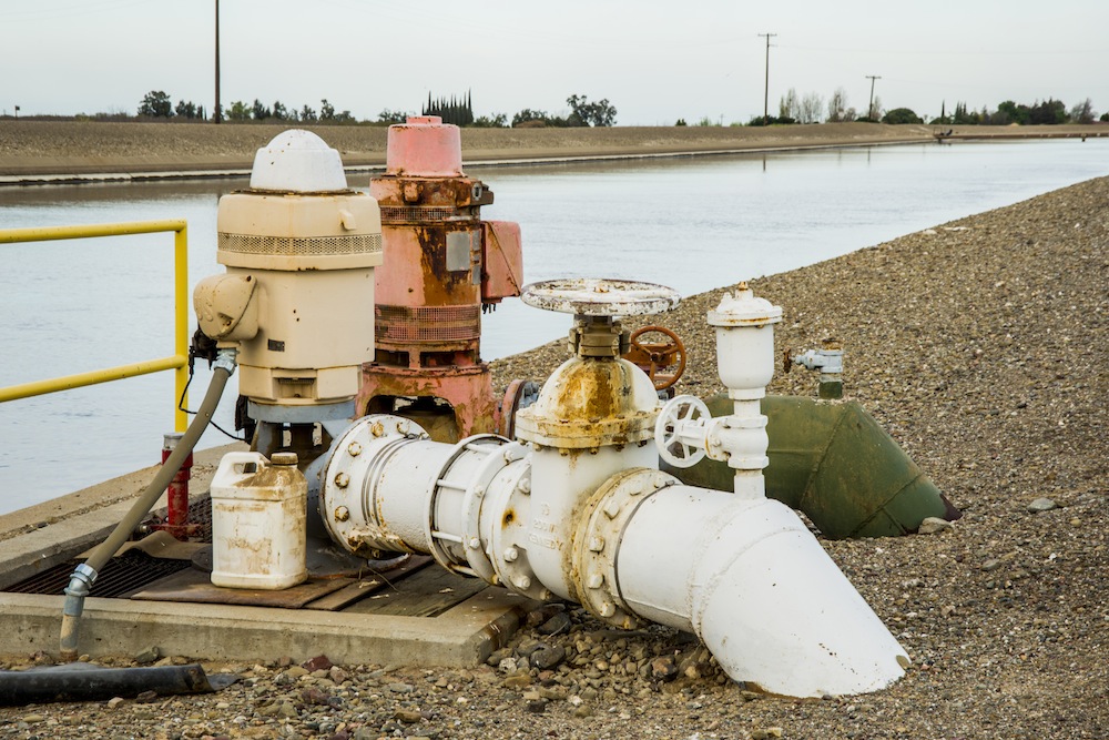
The California aquaduct. About 80 percent of the state's water diversions go to agriculture.
California Irrigation
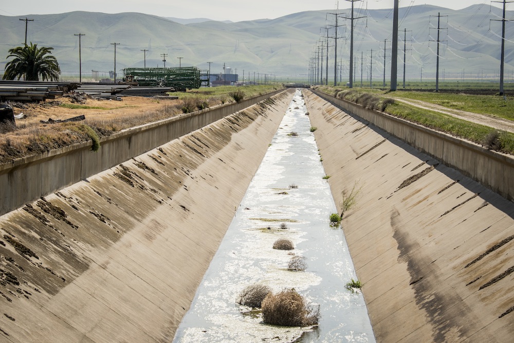
An irrigation canal in California. Diversions take more than 70 percent of the San Joaquin's flow, according to American Rivers.
Dry Canal
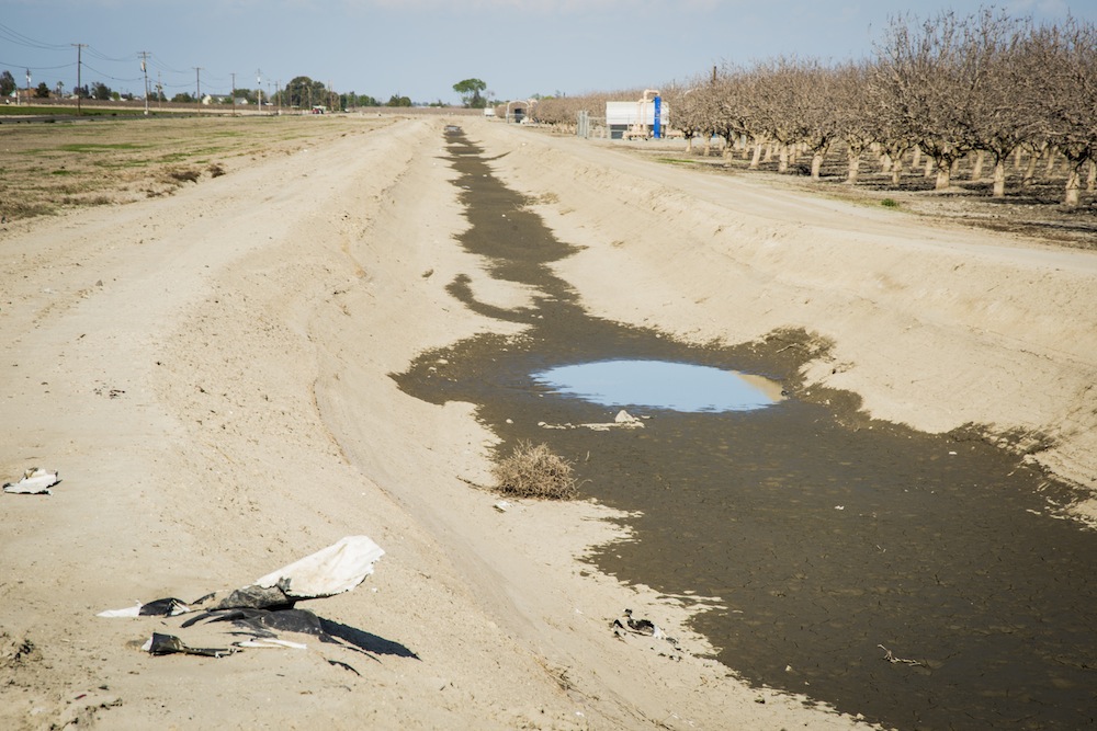
California's current drought is exacerbating water management problems. Here, a dry irrigation canal.
Drying San Joaquin
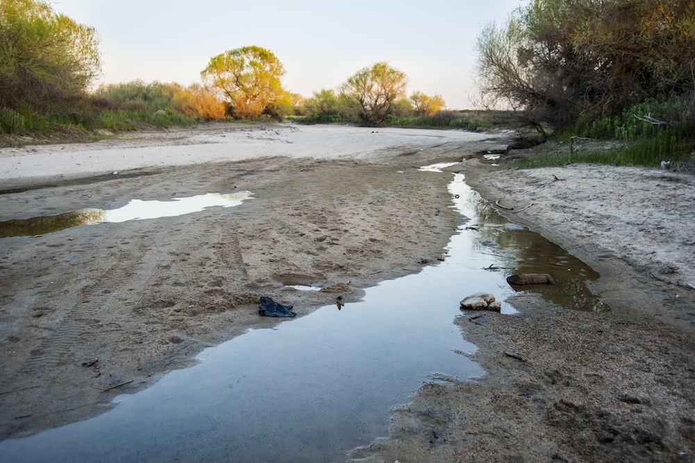
The San Joaquin slows to a trickle near San Mateo Road in the Bay Area.
Sign up for the Live Science daily newsletter now
Get the world’s most fascinating discoveries delivered straight to your inbox.
Drying San Joaquin Bed
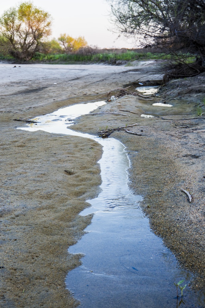
A view of the drying San Joaquin riverbed near San Mateo Road.
San Joaquin Diversions
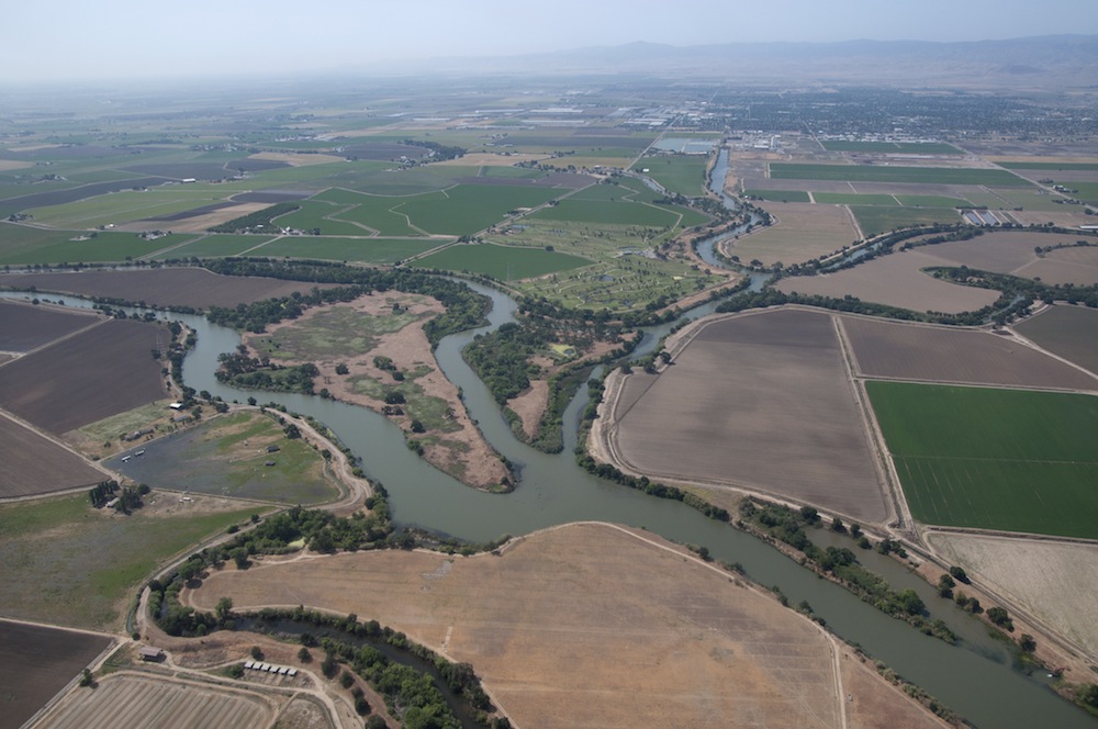
Diversions from the San Joaquin River near Stockton, Calif.
San Joaquin and the Bay Delta
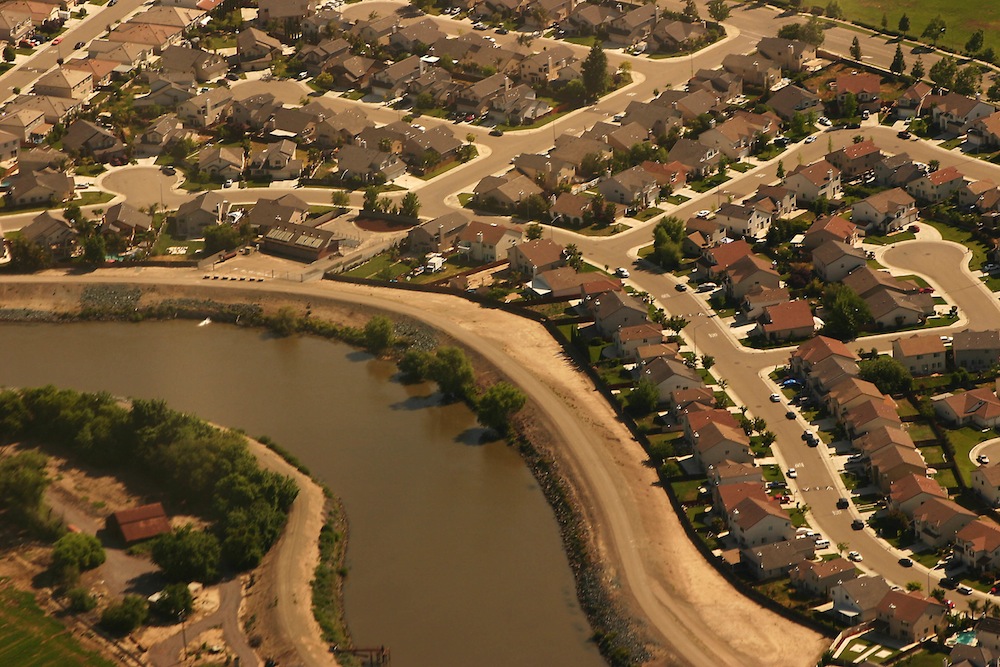
The San Joaquin River snakes through development in the Bay Delta region.

Stephanie Pappas is a contributing writer for Live Science, covering topics ranging from geoscience to archaeology to the human brain and behavior. She was previously a senior writer for Live Science but is now a freelancer based in Denver, Colorado, and regularly contributes to Scientific American and The Monitor, the monthly magazine of the American Psychological Association. Stephanie received a bachelor's degree in psychology from the University of South Carolina and a graduate certificate in science communication from the University of California, Santa Cruz.

