Active 2008 Hurricane Season Winds Down

The curtain is starting to fall on a 2008 hurricane season, which was above-average as predicted, with some truly devastating storms. Barring huge surprises, however, this year was no match for the record-setting 2005 season's 28 storms.
The big names of this season, which began on June 1 and will end on Nov. 31, were Ike and Gustav.
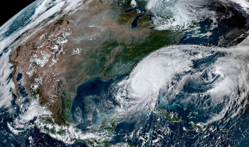
Hurricane Gustav narrowly missed hitting New Orleans head-on when it came ashore on Sept. 1, though it killed dozens of people as it churned across the Caribbean.
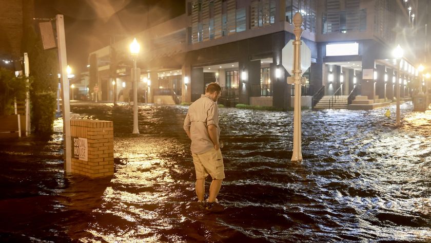
Hurricane Ike crashed into the Texas coast on Sept. 13 near the barrier island city of Galveston, inundating the area, destroying homes and knocking out power and other services for several days in some areas.
To date, the 2008 season has seen 16 named storms, a list that includes both tropical storms and full-blown hurricanes. Tropical Storm Paloma is currently off the coast of Nicaragua and Honduras. Seven of those named storms became hurricanes, with four, including Ike and Gustav, turning into major storms.
A Colorado State University forecasting team had predicted for this year 15 named storms, with eight of those having been expected to become hurricanes and four developing into major storms. Major storms are those whose sustained winds exceed 110 mph (Category 3 on the Saffir-Simpson scale). Government forecasters at the National Hurricane Center in Miami had predicted 12 to 16 named storms for the 2008 season, with six to nine hurricanes, and two to five major storms.
Comparing predictions to what actually happened, forecasters hit the 2008 season pretty much on the nose. Predictions for other recent seasons haven't been quite as close.
Sign up for the Live Science daily newsletter now
Get the world’s most fascinating discoveries delivered straight to your inbox.
Like the 2007 and 2005 seasons, the 2008 season has been an above-average one. An average Atlantic hurricane season has 11 named storms, with six of those becoming hurricanes, and two of those becoming major storms. Average is a relative term, however, since hurricane season activity runs in decades-long cycles. For example, back in the 1990s, several years saw only 7 or 8 named storms.
As the month of November progresses, storm formation becomes less and less likely as ocean temperatures cool, cutting off the fuel source of tropical cyclones. Paloma is the most recent November storm since 2005 when Tropical Storms Gamma and Delta and Hurricane Epsilon formed in that month.
Editor's Note: There has been a lot of Internet chatter today about a Florida State University report on tropical cyclone activity being down in the Northern Hemisphere. Some of that chatter is misrepresentative. The FSU study includes activity in both the Atlantic and the Pacific ocean, the latter of which has seen dramatically below-average activity. But the Atlantic Basin — which is the focus of the LiveScience story above — has indeed seen an above-average season, as the FSU researchers rightly state. Pacific cyclones can have disastrous effects in many countries, but hurricanes in the Atlantic Basin tend to have a far greater impact on the United States and, of course, the Caribbean.
- Natural Disasters: Top 10 U.S. Threats
- Quiz: Test Your Hurricane Knowledge
- Images: The Fury of Ike

Andrea Thompson is an associate editor at Scientific American, where she covers sustainability, energy and the environment. Prior to that, she was a senior writer covering climate science at Climate Central and a reporter and editor at Live Science, where she primarily covered Earth science and the environment. She holds a graduate degree in science health and environmental reporting from New York University, as well as a bachelor of science and and masters of science in atmospheric chemistry from the Georgia Institute of Technology.
