When You Could Fling a Frisbee from Canada to Zimbabwe

Imagine flipping a Frisbee in Quebec, Canada, and seeing it land in Zimbabwe. That’s a distance of 8,000 miles now, but 2.6 billion years ago, with good wrist action, it would have been no feat at all (if only there had been Frisbees and, of course, people).
Present-day Quebec and Zimbabwe were adjacent way back then, say geologists who are using new techniques to map Earth’s early continents.
Some 300 million years ago, the supercontinent Pangea included much of the landmass of today’s continents, all crammed together. Prior to that, continental masses joined and separated several times, but scientists haven’t been able to reconstruct those earlier arrangements with much precision.
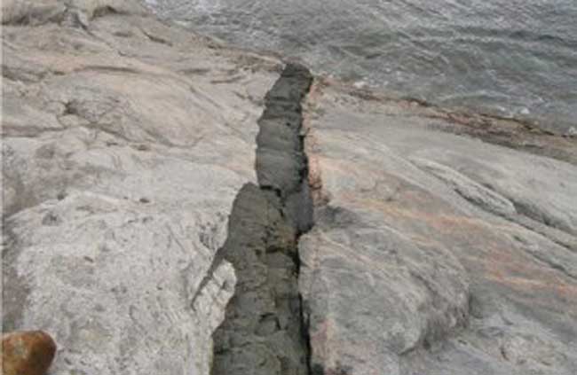
Richard E. Ernst of the University of Ottawa, Michael A. Hamilton of the University of Toronto, and several colleagues intend to remedy that. They’ve developed new ways to collect and to precisely date rare microscopic minerals found in ancient basalt veins. If the minerals and dates from several veins on one ancient landmass match those on another, there’s a good chance the landmasses were contiguous when the basalt formed.
Within five years and for just $1 million, the team hopes to provide a series of snapshots showing the continents’ positions over the past 2.6 billion years.
The work was detailed at the American Geophysical Union Joint Assembly in May 2009.
This article was provided to Live Science by Natural History Magazine.
Sign up for the Live Science daily newsletter now
Get the world’s most fascinating discoveries delivered straight to your inbox.


