Hurricanes from Above: Images of Nature's Biggest Storms
A Sideways Look
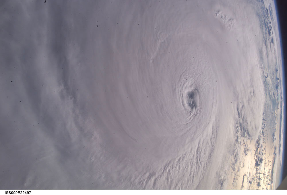
Hurricane Ivan was photographed as it entered the Gulf of Mexico (22:39:23 GMT, Sept. 13, 2004) by astronaut Edward M. (Mike) Fincke aboard the International Space Station, 230 miles above Earth. At the time, Ivan was a category 5 hurricane with winds of 160 mph.
Category-5 Killer
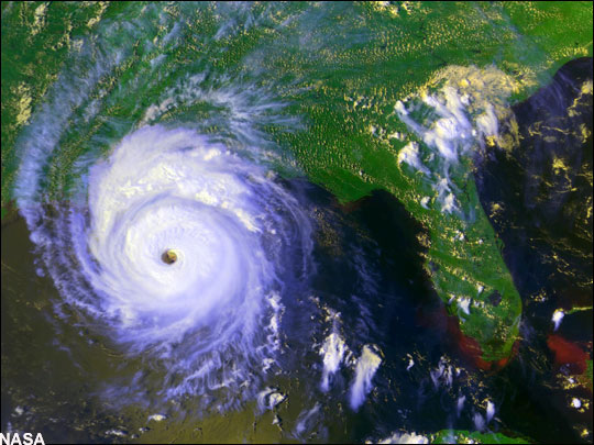
On the week of August 24th, 1992, Atlantic-born Hurricane Andrew ripped through south Florida, barreled its way northwest across the Gulf of New Mexico, and slammed into Louisiana roughly one hundred miles southwest of New Orleans. Along the way, the Category 5 hurricane gave rise to 18-foot (5.5-meter) storm surges that inundated coastal towns and maximum sustained winds of 165 miles (266 kilometer) per hour that reduced entire neighborhoods to kindling. In the end, Andrew resulted in $25 billion in damages (1992 dollars) and more than 60 deaths, directly and indirectly through flooding.
Commotion in the Ocean
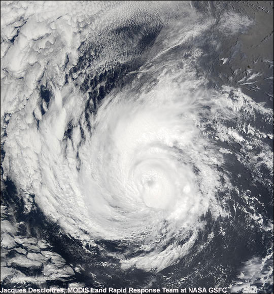
This picture of Hurricane Alma, a Category 2 hurricane was captured on May 30, 2002. The hurricane sustained winds up to 110 miles per hour and gusts up to 135 miles per hour.
Back inside
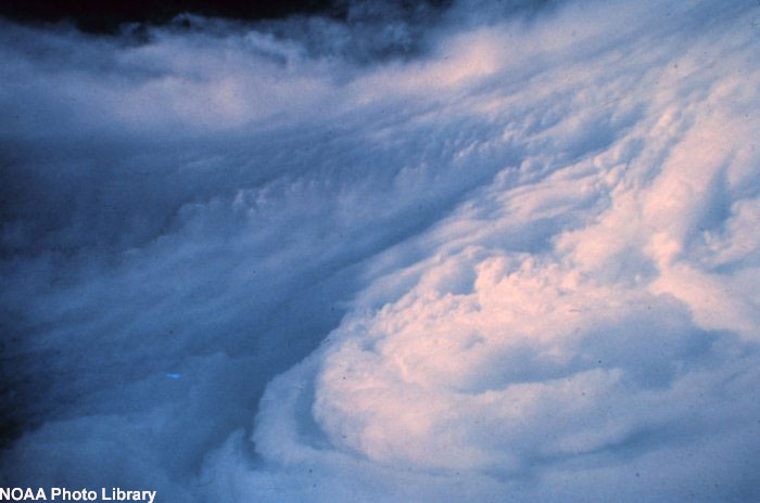
Another amazing image of the eyewall from inside the eye of a hurricane, taken from a hurricane hunter airplane.
On the Move
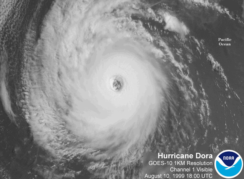
Shown above is a NOAA satellite image of Hurricane Dora in the Eastern Pacific, taken Aug. 10, 1999.
3-D View
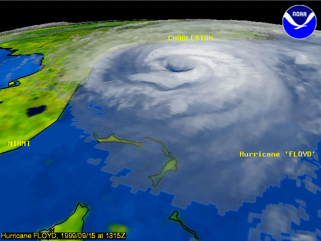
This 3-D visualization allows a look into the eye of Hurricane Floyd September 15, 1999, less than 24 hours before a forecasted landfall in South Carolina. Floyd raked the East Coast, threatened New York City, than raced out to sea.
Sign up for the Live Science daily newsletter now
Get the world’s most fascinating discoveries delivered straight to your inbox.


