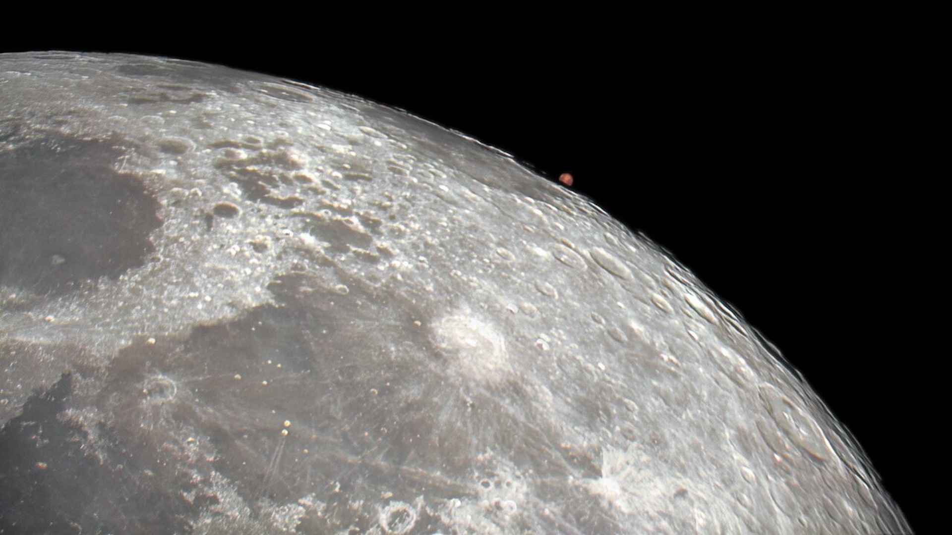
New Moon Map Is Best Ever
This story was updated at 4:45 p.m. ET.
Earthlings have mapped the moon's surface for the past 4,000 years, but NASA's latest view is the best yet.
Scientists have created a new map of the south lunar pole with Earth-based telescopes that is 50 times more detailed than the last version, created with data from the Clementine spacecraft in 1994.
"This data is the highest resolution and the highest accuracy that's ever made of lunar south polar region," said Scott Hensley, a scientist at NASA's Jet Propulsion Laboratory (JPL) in Pasadena, Calif.. Hensley and others announced the new map from the third Space Exploration Conference in Denver.
In detail of 215 square feet (20 square meters) per pixel, the map shows craters four times deeper than the Grand Canyon and hundreds of miles wide.
"It has some of the most incredible topography in the entire solar system," said Eric de Jong, also at JPL, of the region.
NASA officials said they'll use the new map to scout the rugged terrain for robot or human landing sites, as well as investigate some longstanding lunar mysteries.
Sign up for the Live Science daily newsletter now
Get the world’s most fascinating discoveries delivered straight to your inbox.
Crater caches?
Many of the craters imaged have never seen direct sunlight because of their depth and location.
Such permanently shadowed areas, some scientists think, are prime spots to search for water ice or hydrogen deposits that would normally evaporate into space from solar heating. Other observations have suggested something's there.
Whether or not the deposits spacecraft have detected are water ice or hydrogen, such lunar caches could become valuable energy, air and water for visiting astronauts.
"The image[s] ? will help us figure out where we want to go," said Kelly Snook, a lunar scientist at NASA Ames in Moffett Field, Calif., of future lunar exploration missions. "They also provide us with unique ability to answer the fundamental science questions."
Snook called the moon a "unique window" to the early solar system, explaining that the lunar surface has been witness to billions of years of planetary evolution.
Radar in space
To create the new map, scientists employed NASA's Goldstone Solar System Radar facility in the Mojave Desert.
A team of scientists there bounced microwave beams off the craggy bottom of the moon when it wobbled into view — a cycle it repeats about every month. The 3-D radar data gathered with two telescopes on three separate occasions was used to compile the new map.
"We had the best opportunity in 17 years for these observations," Hensley said, explaining that the moon's wobble was exaggerated most in 2006 when the team made their observations.
Some of the features mapped are so deep that Earth's largest volcano, Mauna Loa in Hawaii, would fit neatly inside some of the craters, Hensley said.
"It's quite impressive topography that we have here," he said.
Better maps to come
Doug Cooke at NASA Headquarters in Washington, D.C. said NASA's upcoming Lunar Reconnaissance Orbiter (LRO) will soon map the entire moon in even more detail in the next few years.
"We will be getting better data," Hensley said of LRO, "?but this [map] is a big step in our understanding of this very interesting place."
All of the information should be a boon to astronauts who might visit the rough terrain of south lunar pole in the future, but in either case Hensley said simply sending spacecraft won't allow us to fully understand our lunar companion.
"This type of information is critical for us in understanding what we're getting into," Cooke said. "? [but] to really understand it, it takes going there and seeing first-hand what you've got."


