Blue Marble: Looking Back at Earth From Space
Blue Marble: Looking Back at Earth From Space
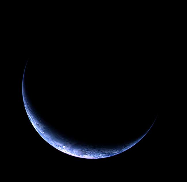
This image of earth was captured as ESA's Rosetta comet chaser approached Earth for the third and final swingby. Three images with an orange, green, and blue filter were combined to create this one. The illuminated crescent is centered roughly around the South Pole (South at the bottom of the image). The outline of Antarctica is visible under the clouds that form the striking south-polar vortex. Pack ice in front of the coastline with its strong spectacular reflection cause the very bright spots on the image. The image was acquired with the OSIRIS narrow-angle camera from a distance of 633 000 km on 12 November 2009 at 13:28 CET. The resolution is 12 km/pixel.
Blue Marble: Looking Back at Earth From Space
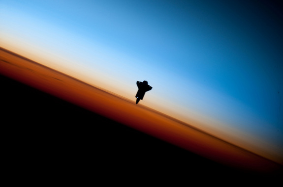
The Space Shuttle Endeavour is silhouetted against a stunning backdrop of Earth's horizon. The image was taken by an astronaut aboard the International Space Station just before Endeavour docked just after midnight on Feb. 10, 2010 during the STS-130 mission.
Blue Marble: Looking Back at Earth From Space
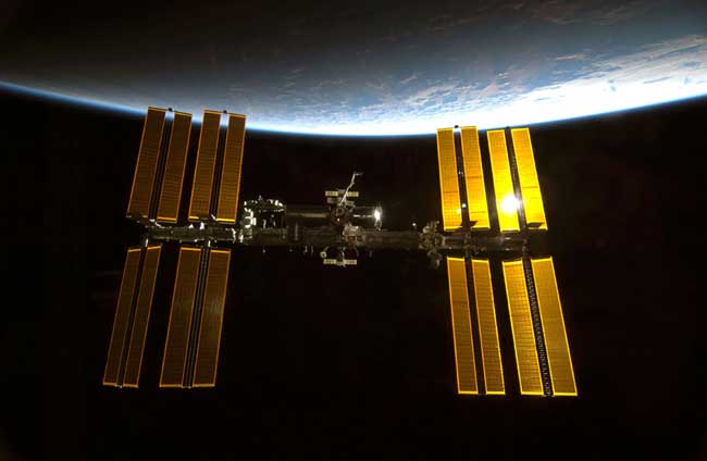
Sunlight glints of the International Space Station with the blue limb of Earth providing a dramatic backdrop in this photo taken by an astronaut on the shuttle Endeavour just before it docked after midnight on Feb. 10, 2010 during the STS-130 mission.
Blue Marble: Looking Back at Earth From Space
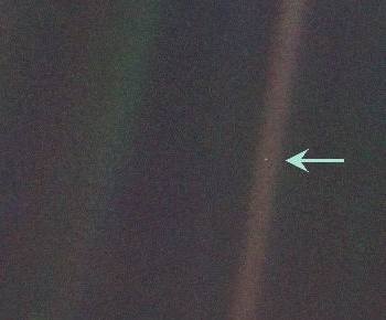
The famous photograph known as Pale Blue Dot was snapped by Voyager 1 in 1991. In his book entitled Pale Blue Dot, Carl Sagan referred to the image to describe the insignificance of our world in comparison to the cosmos. He said: "The Earth is a very small stage in a vast cosmic arena. Think of the rivers of blood spilled by all those generals and emperors, so that, in glory and triumph, they could become the momentary masters of a fraction of a dot. Think of the endless cruelties visited by the inhabitants of one corner of this pixel on the scarcely distinguishable inhabitants of some other corner, how frequent their misunderstandings, how eager they are to kill one another, how fervent their hatreds. Our posturings, our imagined self-importance, the delusion that we have some privileged position in the Universe, are challenged by this point of pale light."
Blue Marble: Looking Back at Earth From Space

This "blue marble" image is the most detailed true-color image of the entire Earth to date.
Blue Marble: Looking Back at Earth From Space
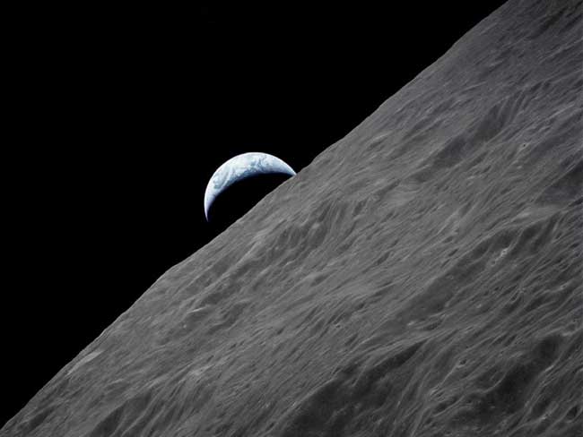
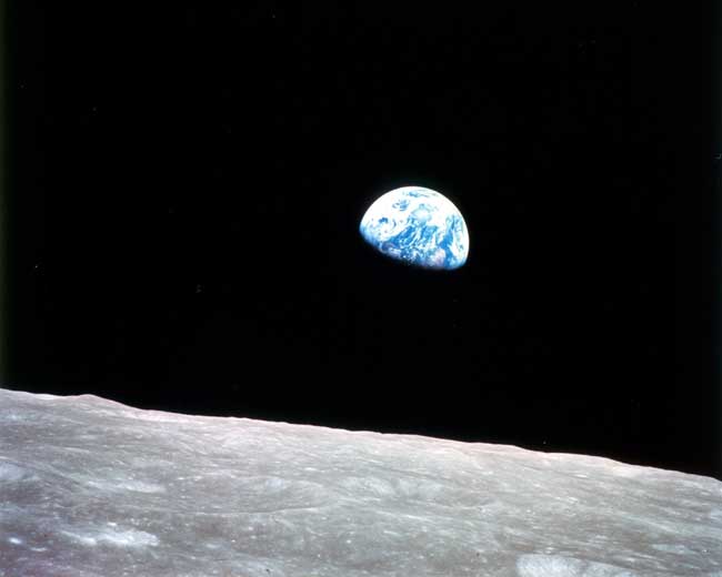
The crescent Earth rises above the lunar horizon in this photograph taken from the Apollo 17 spacecraft in lunar orbit during final lunar landing mission in the Apollo program.
Blue Marble: Looking Back at Earth From Space

The brightest areas of the Earth are the most urbanized, but not necessarily the most populated. This image shows that cities tend to grow along coastlines and transportation networks. Even more than 100 years after the invention of the electric light, some regions remain thinly populated and unlit. Antarctica is entirely dark. The interior jungles of Africa and South America are mostly dark, but lights are beginning to appear there. Deserts in Africa, Arabia, Australia, Mongolia, and the United States are poorly lit as well (except along the coast), along with the boreal forests of Canada and Russia, and the great mountains of the Himalaya. This image of Earth’s city lights was created with data from the Defense Meteorological Satellite Program (DMSP) Operational Linescan System (OLS). Originally designed to view clouds by moonlight, the OLS is also used to map the locations of permanent lights on the Earth’s surface.
Sign up for the Live Science daily newsletter now
Get the world’s most fascinating discoveries delivered straight to your inbox.
Blue Marble 2.0
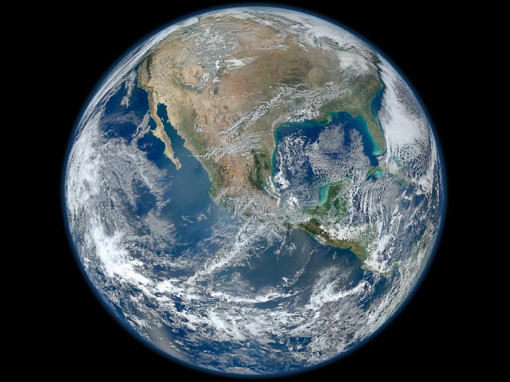
This gorgeous image is the most up-to-date "blue marble" photo of our home planet, the latest in a long line of color images of Earth that date back to the Apollo space missions. The original "blue marble" shot was taken by the crew of Apollo 17 in 1972. Today, satellites are snapping some of the most spectacular photos of Earth. This new image was taken by Suomi NPP, NASA's most recently launched Earth-observing satellite. It's a composite of many images of the planet's surface taken on Jan. 4, 2012.
Earth's Beautiful Backside: Blue Marble 2.0
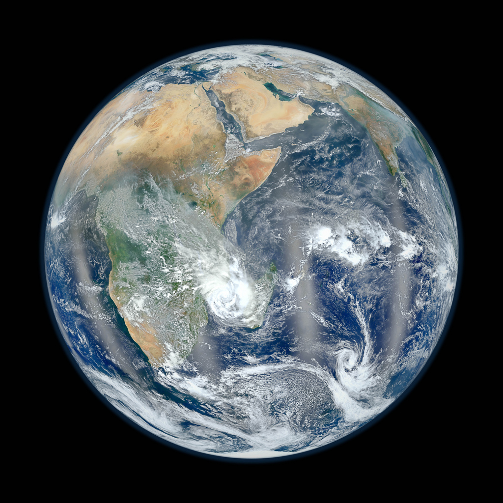
Bowing to popular demand, NASA has released the flip side of its newest "Blue Marble" image of Earth, revealing Africa, the Middle East, and the Indian subcontinent. The original Blue Marble photo of earth was snapped from about 28,000 miles (45,062 kilometers) away from Earth by Apollo 17 astronauts. If Earth were the size of a basketball, that would put the photographer about 30 inches (76 centimeters) away from the planet.
Blue Marble 2.0, on the other hand, is a satellite creation. The Suomi NPP satellite orbits 512 miles (824 km) over Earth. On our imaginary basketball, the satellite would rotate only five-eighths of an inch (1.5 cm) away. NASA scientists stitch together images taken from multiple passes by Suomi, creating a zoomed-out image of Earth as it would appear from 7,918 miles (12,743 km) away.


