Photos: Beautiful & Ever-Changing Barrier Islands
Tybee Island, Georgia
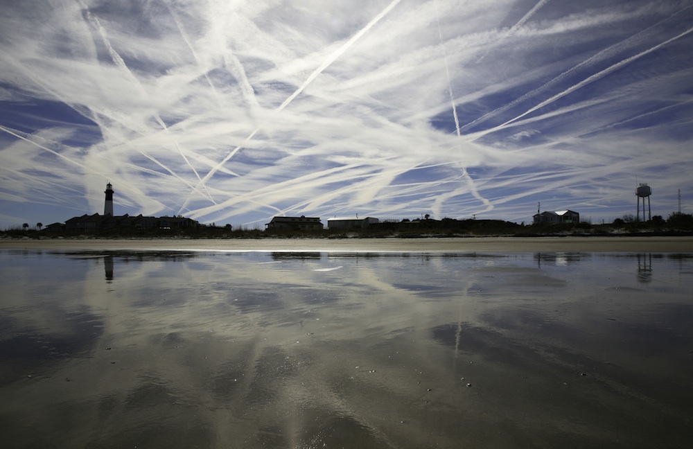
Barrier islands are sandy accumulations formed by tides and waves. Despite the threat of storms, people have long built on barrier islands. Tybee Island, Georgia, above, has been home to a lighthouse since 1736.
South Padre Island, Texas
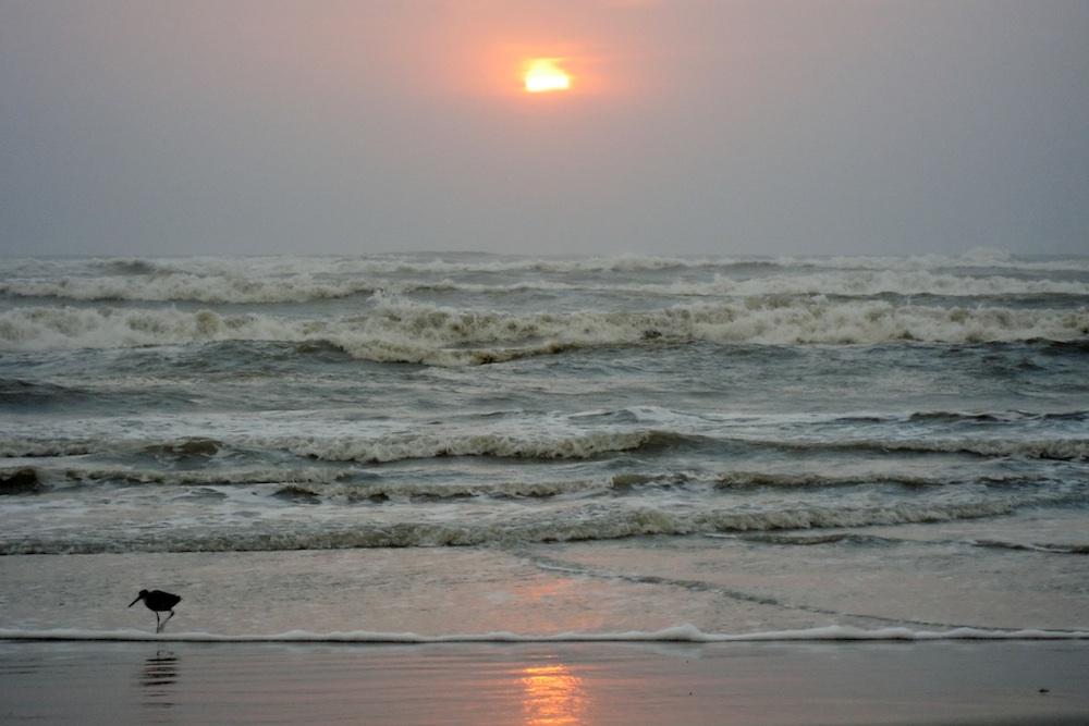
Only about 15 percent of the world's shores are lined by barrier islands, according to the National Oceanic and Atmospheric Administration (NOAA). Many, like South Padre Island, like the Gulf and East Coasts of the United States.
The Outer Banks, North Carolina
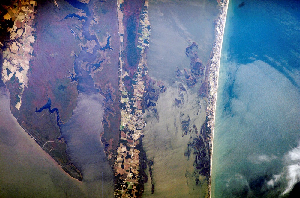
North Carolina’s Outer Banks—known as Pine Island in the area shown in this image—protects a network of interconnected waterways, including Currituck Sound, a shallow, 3-mile-wide water body; the North River; and the well-known Albemarle Sound. Wakes from barges on the Intracoastal Waterway appear on the North River, which provides a connection between the Hampton Roads area to the north and Pamlico Sound to the south. Farmland (light colored patches at top left) and urbanized areas (gray areas on land at image center) occupy all available “high” ground, which is still only a few feet above sea level in this area. This astronaut photograph illustrates how population density increases near the coastline.
Storm-Threatened Islands
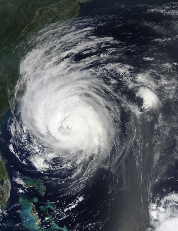
This 2010 image of Hurricane Earl bearing down on the North Carolina coast reveals how exposed barrier islands are to storm surges and high winds from hurricanes.
Hilton Head Island, South Carolina
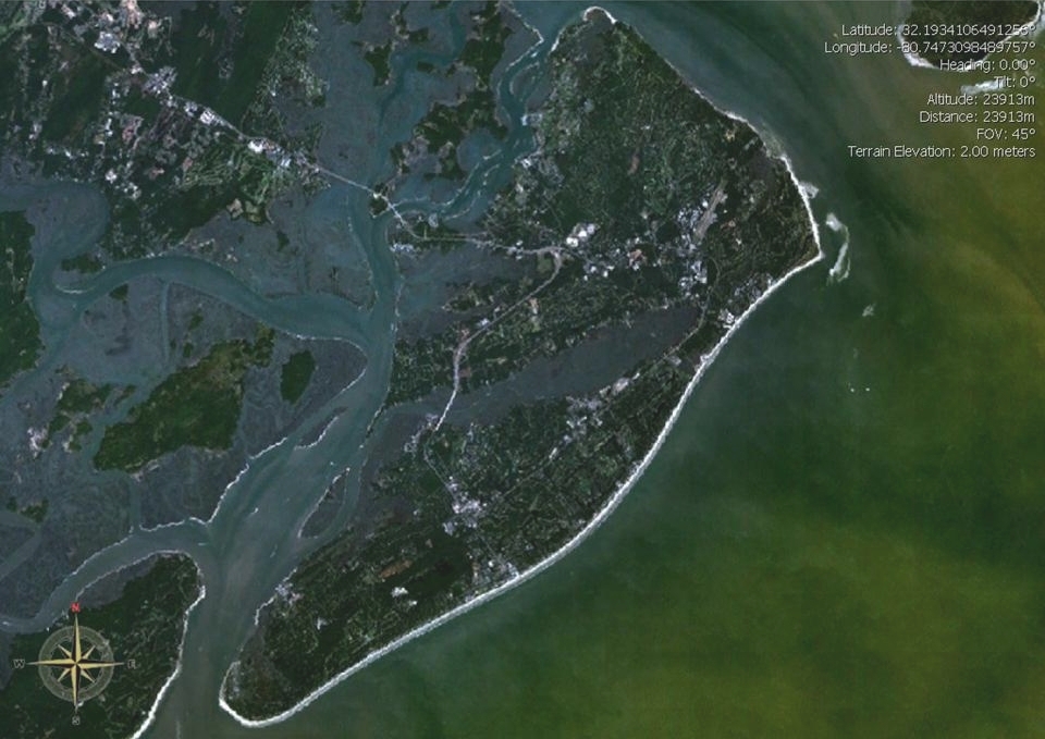
Change is constant on barrier islands; sand is always shifting. But humans have built up islands like Hilton Head, South Carolina, putting buildings in the way of hurricanes and storms.
Dauphin Island, Alabama
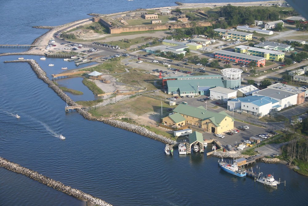
Piers and buildings line the east end of Dauphin Island, Alabama.
Chandeleur Islands, Louisiana

Part of the Chandeleur Islands, before and after Hurricane Katrina. The storm stripped away up to 85 percent of of islands.
Sign up for the Live Science daily newsletter now
Get the world’s most fascinating discoveries delivered straight to your inbox.
Gulf Coast Barrier Islands
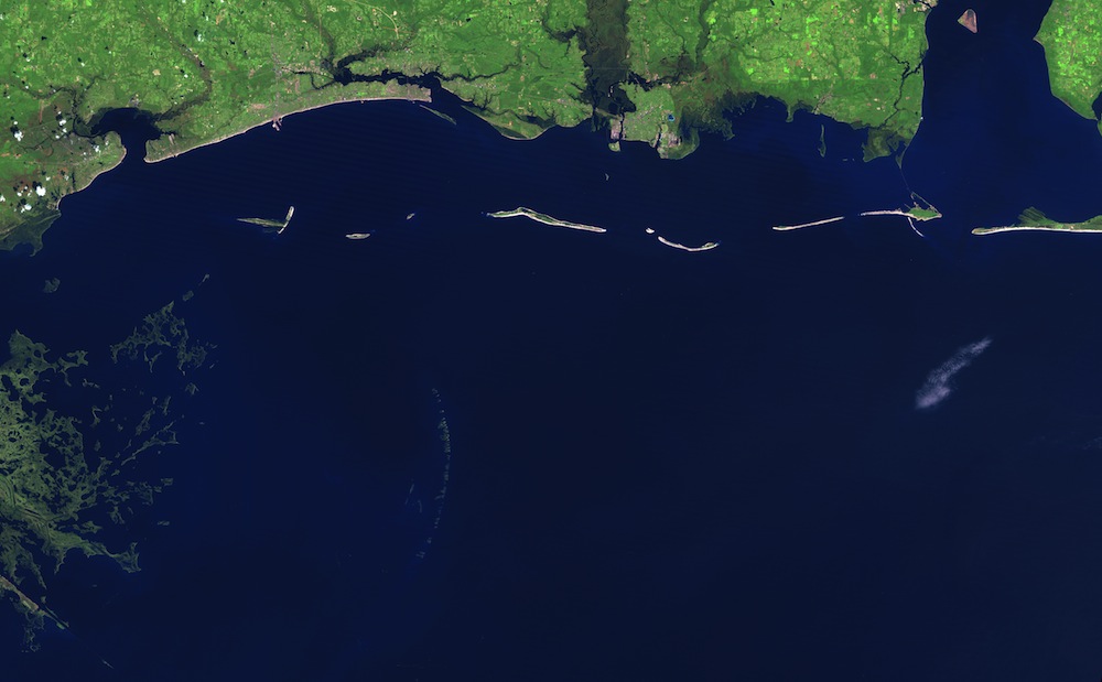
Normally, silt coming from the Mississippi would regenerate the Chandeleur Islands, but the river has been dammed and diverted, preventing full loads of sediment from reaching the gulf. In this view of the Gulf, the Chandeleurs are a barely-visible crescent in the center-left of the image.
Sapelo Island, Georgia
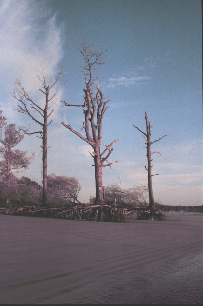
Trees stand on tiptoes on Sapelo Island, Georgia in this 1999 photo. Erosion carries sand from the north end of the island and deposits it in sand dunes at the south end.
Eroding Away
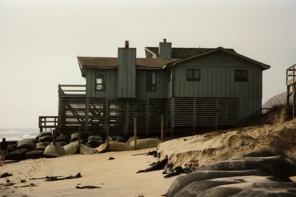
This undated NOAA photo shows erosion on a barrier island beach — and the sandbags people use to try to stem the damage.
Outer Banks
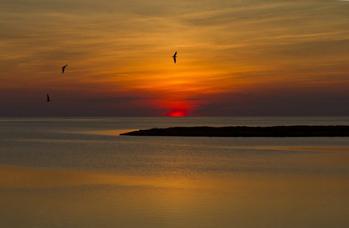
Last glow of sunset over the beaches and seacoast of the Outer Banks, N.C.

Stephanie Pappas is a contributing writer for Live Science, covering topics ranging from geoscience to archaeology to the human brain and behavior. She was previously a senior writer for Live Science but is now a freelancer based in Denver, Colorado, and regularly contributes to Scientific American and The Monitor, the monthly magazine of the American Psychological Association. Stephanie received a bachelor's degree in psychology from the University of South Carolina and a graduate certificate in science communication from the University of California, Santa Cruz.


