7 Surprises Hurricane Irene May Have In Store
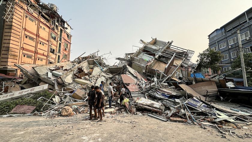
Imagine this scenario: A hurricane has made landfall in a nearby town. You look outside but all you see outside is rain. No lightning. No thunder. No sign of the apocalypse. Then all of a sudden there's a big, fat tornado on the horizon.
People usually have days to prepare for a hurricane, but hurricane-spawned tornadoes (yes, hurricanes can and do spawn tornadoes) can catch people off guard. Hurricane Irene might not be a repeat of Hurricane Beulah, a 1967 storm that spawned more than 100 tornadoes across Texas, but the threat is real with any hurricane that makes landfall.
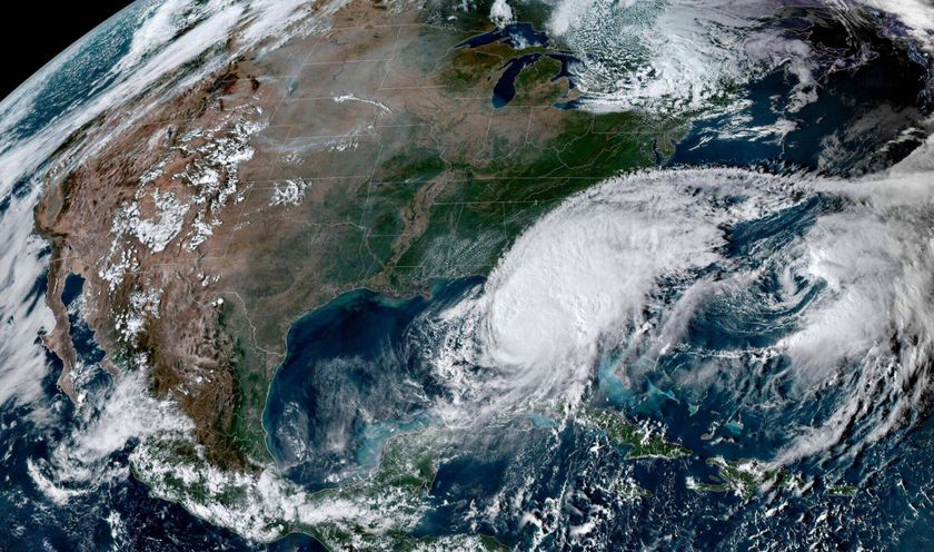
Tornadoes from Hurricane Irene are just one of the surprising things that people should look out for as the storm threatens landfall along the East Coast. [Infographic: Storm Targets: Where the Hurricanes Hit]
Tornado trouble
Hurricanes are basically a big, swirling mass of thunderstorms. Thunderstorms can spawn tornadoes, and hurricanes are no exception.But for a hurricane to spawn a tornado, the center of the storm needs to come a few hundred miles inland. When a hurricane makes landfall, friction causes winds at different heights in the storm to change directions, creating the wind shear needed to produce tornadoes.
Wide, wedge tornadoes are possible, but the twisters are usually weaker than their Great Plains counterparts, said Eugene McCaul, an atmospheric scientist at NASA's Marshall Space Flight Center in Huntsville, Ala.
"You don't tend to see these tall majestic tornadoes in land-falling hurricanes," McCaul told OurAmazingPlanet. "They tend to be these low, raggedy things."
Sign up for the Live Science daily newsletter now
Get the world’s most fascinating discoveries delivered straight to your inbox.
Irene looks like it will brush the Carolinas, so a big hurricane-spawned tornado outbreak isn't likely there. If Irene makes landfall in Long Island, areas east of the storm could see some twisters, while New York City would likely see only heavy rains and winds. Irene could continue north, but hurricane-spawned tornadoes are rare in New England, McCaul said.
"I would not expect a huge tornado outbreak with this one," McCaul said.
Storm surge
Irene's strength has dropped to a Category 2 storm, and should not strengthen back to a major hurricane, according to the National Hurricane Center (NHC) (major hurricanes are Category 3 or higher on the Saffir-Simpson scale of hurricane strength). But Irene should still pack a punch, since it has already developed a massive swell of water that it will carry north.
Irene's swell could spill onto low lying areas. Storm surge, an abnormal rise in water, occurs when strong winds push water forward, ahead of a moving storm. Huge waves form on top of the surge, cresting and pounding the coast.
This could be a problem for Long Island, if those north-blowing winds, and the surge they push in front of them, hit it head-on.
A major hurricane (Category 3 or higher on the Saffir-Simpson scale of hurricane strength) could push more than 30 feet (9 meters) of storm surge into low-lying parts of New York City. That's a worst-case scenario; current computer models forecast a small chance of a storm surge of 2 feet (0.6 meters) in the region.
Whopper waves
Storm surge is like a rising tide that doesn't recede. Riding atop the storm surge are massive waves. The U.S. Navy has predicted wave heights of around 30 feet (9 m) for the New York region. The waves will repeatedly crash onto the coast.
Heavy rain
The U.S. National Oceanic and Atmospheric Administration (NOAA) has forecast around 8 inches (20 centimeters) of rain for New York City. Other parts of the region could see up to 15 inches (38 cm).
Flooding
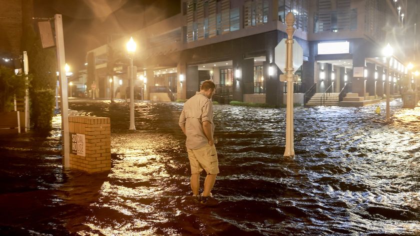
This past spring was sopping wet, so the ground is already saturated. The storm surge and heavy rain could bring widespread flooding across New York and New Jersey. In New York City, subway stations and sewer flooding could be a problem as the heavy rain overwhelms the underground tunnels.
Transit trouble
In an attempt to reduce the threat of subway flooding, New York Gov. Andrew Cuomo said that the entire New York City transit system will shut down tomorrow (Aug. 27) at noon.Elevated tracks would also be in danger from high winds.
An MTA spokesman told the New York Times that they cannot guarantee the safety of passengers on trains if winds are above 39 mph (63 kph) for a sustained period. Cuomo added that area bridges will also be closed if wind speeds exceed 60 mph.
Flooding could also be a problem at New York City's coastal airports. As a precaution, JetBlue has already cancelled 880 flights ahead of Irene.
Whipping winds
Category 1 strength hurricanes have winds of at least 74 mph (119 kph). Hurricane force winds are currently felt up to 90 miles (145 kilometers) from the eye. If the storm hits Long Island, tropical storm force winds, or worse, could pound New York City. Windows could shatter, buildings could sway and debris could rocket down the streets.
The New York City Office of Emergency Management advises high-rise dwellers to be prepared to move to the 10th floor or lower if necessary.
Email OurAmazingPlanet staff writer Brett Israel at bisrael@techmedianetwork.com. Follow him on Twitter @btisrael.
