Why Irene's Size Matters
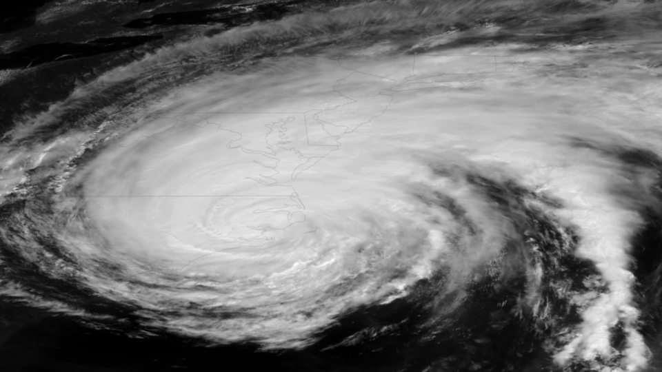
Don't let Hurricane Irene's waning strength fool you. The massive storm is still a major threat and could pound cities with severe weather for days, experts say.
The storm, at one point as large as one-third of the East Coast and as strong as a Category 3, has been a large storm for several days, and is creeping north at 13 mph (20 kph), now as a Category 1.
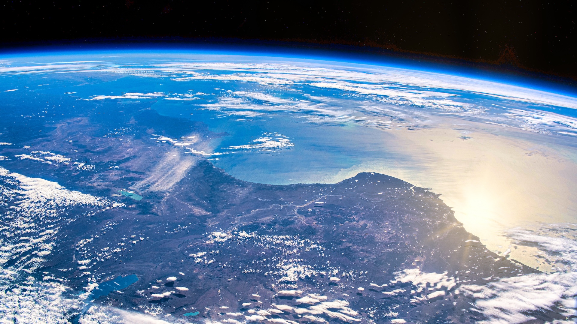
"Its slow movement up this coast makes this a problem as tropical-storm-force winds would have an impact for a full day at most places along the Mid-Atlantic coastline," a spokesperson with the National Hurricane Center told OurAmazingPlanet. [Hurricanes from Above: Nature's Biggest Storms]
The size of the storm matters with hurricanes because the bigger the storm, the longer it takes to move through an area. That slow march up the coast gives a storm like Irene more time to do serious damage with intense winds, torrential rains and storm surges.
Irene made landfall in Cape Lookout, N.C., today at about 7:30 a.m. EDT as a Category 1 storm, with maximum sustained winds of about 80 mph (129 kph). The storm has been lashing the Eastern Seaboard and at least two deaths were directly caused by the hurricane, according to news reports.
While Irene currently batters coastal North Carolina, rain from the storm's outer bands is currently falling in New York City well ahead of the predicted landfall near there. That weather won't go away anytime soon.
Forecasts show Irene hitting central Long Island, N.Y., sometime Sunday (Aug. 28), leaving New York City with the "clean side" of the hurricane — which is less powerful than the "dirty side" on a storm's right side as seen as above — and without the major storm surge.
Sign up for the Live Science daily newsletter now
Get the world’s most fascinating discoveries delivered straight to your inbox.
Category 1 strength hurricanes have winds of at least 74 mph (119 kph). If the storm hits Long Island, tropical-storm-force winds, or worse, could pound New York City. Windows could shatter, buildings could sway and debris could rocket down the streets.
Hurricane-force winds are currently felt as far away as 90 miles (145 kilometers) from the eye. The strongest winds and the highest storm surge are on a hurricane's "dirty side," because winds in a hurricane rotate counterclockwise; so the strength of the storm on the "dirty side" is the hurricane's wind speed plus its forward velocity. The strength on the "clean side," or the left side, is the wind speed minus the velocity.
Because Irene was once a major hurricane, it has already developed a massive swell of water in the ocean that it will carry north and could spill onto low-lying areas. Storm surge, an abnormal rise in water, occurs when strong winds push water forward, ahead of a moving storm. Huge waves form on top of the surge, cresting and pounding the coast. This could be a problem for Long Island if those north-blowing winds, and the surge they push in front of them, hit it head-on.
In preparation for multiple days of severe weather and its aftermath, city-wide transit has been shut down across New York City. Residents in low-lying coastal areas are being told to evacuate. Thousands of flights have been canceled across the region.
- 6 Tips for Evacuating from Hurricane Irene
- Infographic: Storm Season! How, When & Where Hurricanes Form
- In Photos: Hurricane Irene
Email OurAmazingPlanet staff writer Brett Israel at bisrael@techmedianetwork.com. Follow him on Twitter @btisrael.
