Digging Into the Past Reveals Future Quake Potential
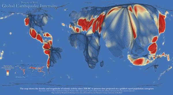
An ever-growing body of research reveals that a fault stretching from Northern California to Canada's Vancouver Island is capable of generating colossal earthquakes — quakes that could rival the scale of Japan's recent and devastating Tohoku earthquake.
But because none of the fault's largest earthquakes have occurred when humans were around to record them, scientists must rely on geological and biological detective work to figure out the particulars of these dramatic events, teasing out when and where the earthquakes hit, and just how powerful they were.
Newly published research reviews some of the early evidence scientists unearthed in California, toward the southern end of the fault, which is known as the Cascadia Subduction Zone. It's a long, tectonic boundary where the Juan de Fuca plate, which lies beneath the Pacific Ocean, is shoving itself beneath the North American plate.
When the Juan de Fuca plate suddenly lurches deeper — presto! — an earthquake.
Digging for evidence
The study, published in the June issue of the Bulletin of the Seismological Society of America, centers on eight coastal sites surrounding Eureka, Calif., where researchers measured how far the land dropped during earthquakes that hit in the last 2,000 years.
When a subduction earthquake occurs, the edges of the top plate — in this case, the North American plate — often drop a bit, since the underlying plate that has been pressing up against it for centuries suddenly jolts deeper toward the Earth's interior.
Sign up for the Live Science daily newsletter now
Get the world’s most fascinating discoveries delivered straight to your inbox.
"[The land] drops back down because the stress is released," said David Valentine, a programmer at the University of California, San Diego's supercomputing center, and lead author on the paper. The size of that drop is an indicator of the magnitude of the earthquake, Valentine told OurAmazingPlanet.
Telltale signs of this sudden change in the coastline, which allows the sea to encroach on areas that were previously dry, can be found trapped in layers of earth. Studying and dating fossilized plants and foraminifera — pinhead-size, planktonlike creatures with tiny calcium carbonate shells — offers up additional clues. Together, these elements help reveal how much the land dropped, and when, shedding light on the size and timing of an earthquake.
By repeating these investigations up and down the coastline, and matching the dates of various sites, researchers can build an even better picture of an earthquake's power and reach. [How Big Was the Biggest Earthquake?]
Emerging pattern
Valentine and his co-authors found coastal land drops of up to 30 inches (75 centimeters) and uncovered evidence of between four and six large earthquakes in the region over the last two millennia. Three of them were likely very large, and ruptured the entire length of the fault.
This research complements a huge body of research conducted in Washington, which has revealed that in the year 1700, it's likely the entire Cascadia Subduction Zone slipped, generating a massive, magnitude-9.0 earthquake, which sent a damaging tsunami across the ocean as far as Japan.
Much of the evidence suggests that these colossal earthquakes happen approximately 500 years apart. However, even smaller, more local earthquakes indicated by Valentine's and other's studies could cause widespread damage in California.
"Even if you don't have a 9 or an 8, it can still be very devastating to the region," he said.
Reach Andrea Mustain at amustain@techmedianetwork.com, or follow her on Twitter @AndreaMustain. Follow OurAmazingPlanet on Twitter @OAPlanet. We're also on Facebook& Google+.
