Why Hurricane Season Peaks Today
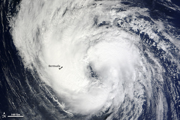
Today (Sept. 10) marks the historic peak of the Atlantic hurricane season. Sure enough, there are currently three storms churning in the Atlantic Ocean, including Tropical Storm Leslie, Hurricane Michael and a tropical wave that is likely to become a tropical depression.
Tropical Storm Leslie is expected to hit Newfoundland midday tomorrow. While it isn't likely to regain hurricane strength, it is expected to lash the island with winds of up to 40 mph (64 kph), according to the National Oceanographic and Atmospheric Administration (NOAA).
Meanwhile, Hurricane Michael is churning away in the middle of the Atlantic with maximum sustained winds of 80 mph (130 kph). It will likely weaken into a tropical storm later today.
If the tropical wave develops into a named storm, it will be called Nadine.
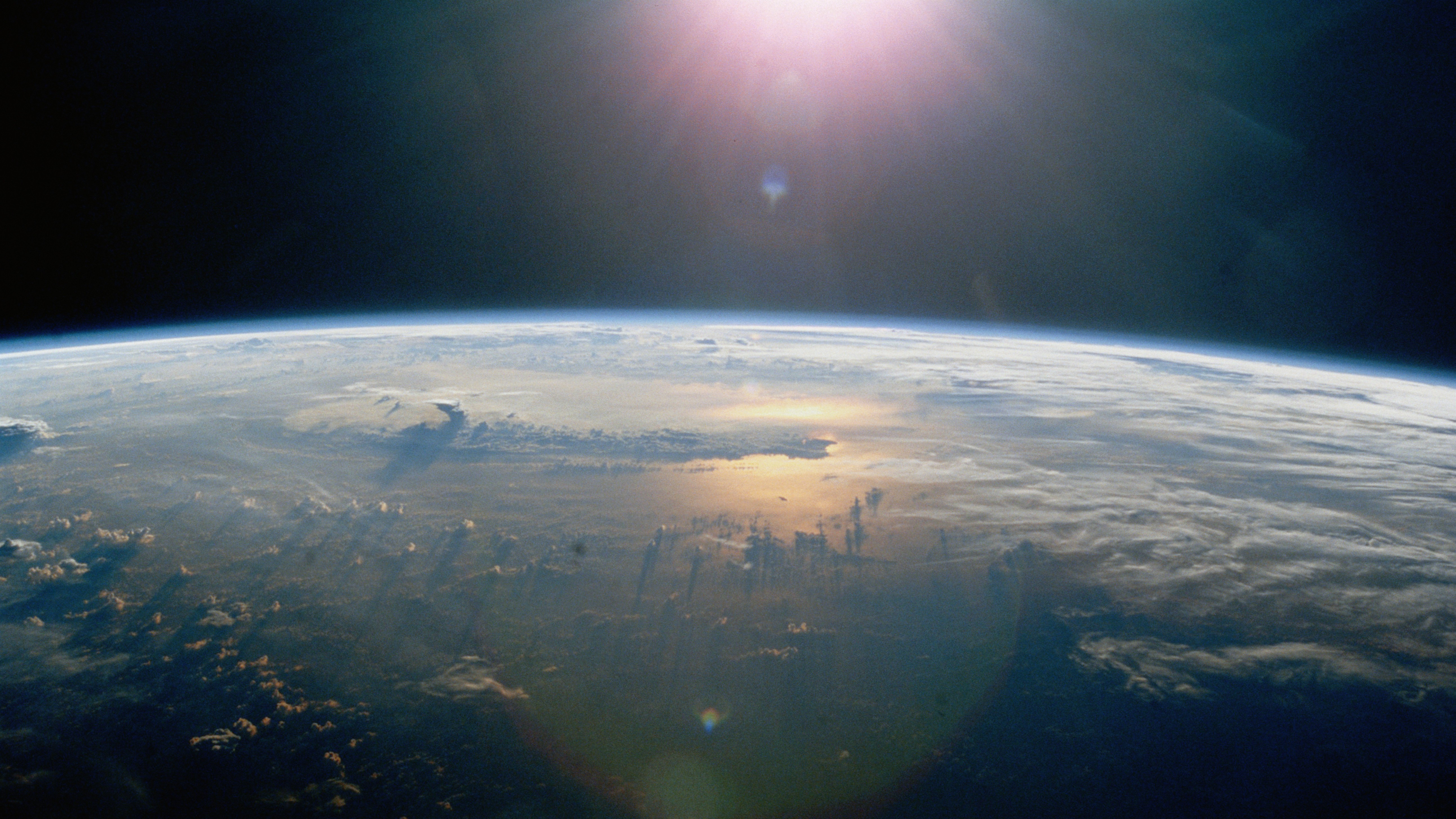
Today is the peak of the season largely due to wide expanses of warm water in the Caribbean Sea and Atlantic Ocean that are favorable for hurricane formation; such waters fuel cyclones once they form. Atlantic surface temperatures are now at their warmest, after slowly heating up in the sun all summer long.
There is also currently little wind shear over the Atlantic. Wind shear is caused by differences in atmospheric pressure between neighboring regions and reduces the strength of cyclones by separating their warm core from the system of circulation above it. Cyclones are essentially large heat engines that are driven by a temperature difference between the warm ocean surface and the cool atmosphere above; wind shear disrupts this pattern of circulation and weakens storms.
Now is also an ideal time for tropical waves, which are caused by the disruption of the ocean surface by hot, dry air, often blown west from Africa's Sahara region. Tropical waves are often precursors to tropical cyclones; about 60 percent of cyclones form from tropical waves.
Sign up for the Live Science daily newsletter now
Get the world’s most fascinating discoveries delivered straight to your inbox.
So far this year, there have been 13 named storms in the Atlantic, including seven hurricanes. Storms are named only once they attain tropical storm status — defined as a rotating, organized storm with maximum sustained winds of at least 39 mph (63 kph).
The season started earlier than usual, with two named storms before June 1, the traditional beginning of the hurricane season. Activity then died down in July, but has picked up in August and September, the typical peak of the season. NOAA updated its forecast for the season in August, saying that 2012 was likely to be a busier-than-normal year. The forecast at the beginning of the season had called for a "near-normal" year. The new forecast calls for 12 to 17 named storms, including the storms that have already occurred, of which forecasters expected five to eight to become hurricanes.
Tropical Storm Beryl made history as the strongest May storm on record to hit Florida, with sustained winds up to 70 mph (113 kph), just below the 74 mph (119 kph) cutoff for hurricanes. A few weeks later there was Tropical Storm Debby, which dumped large amounts of rain across Florida.
Hurricane Isaac has been the only hurricane to strike the United States so far this year. Isaac made landfall on the evening of Aug. 28 near the mouth of the Mississippi River as a Category 1 storm, packing winds of 80 mph (130 kph). It was a large, slow-moving storm but also a prodigious rainmaker, causing flooding throughout the South and Midwest.
This story was provided by OurAmazingPlanet, a sister site to LiveScience. Follow OurAmazingPlanet on Twitter @OAPlanet. We're also on Facebook and Google+.

