Tree Loss May Double Floods in Snowy Areas

Deforestation could double the number of big floods in snowy regions in North America, a new study suggests.
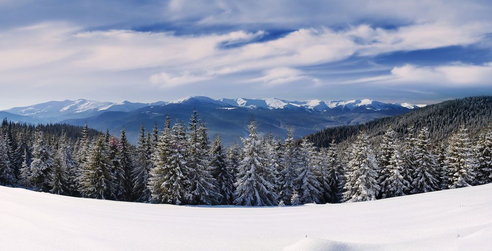
Throughout the continent's interior, many creeks and rivers pick up their flow from melting snow that piles up in mountainous areas. And the size of the flows depends on both the amount of snow that falls upstream and how fast it melts.
Trees shade snow from the sunlight, keeping the white stuff cold and solid, but "as soon as you get rid of the trees, the snow melts faster," geoscientist Kim Green, of the University of British Columbia, said in a statement. "It’s that simple."
Green looked at a few decades worth of data from Camp Creek in British Columbia and Fool Creek in Colorado, in contrast with data on similar creeks in areas that had not been deforested. She also analyzed flood data generated by a computer model to study the simulated effect of deforestation over more than 90 years at Redfish Creek and 240 Creek, both in British Columbia.
Deforestation turned 10-year floods into three-to-five-year floods and 20-year floods into 10-to-12-year floods in all four creeks, Green found in her analysis. In 240 Creek, 50 year floods recurred every 13 years, the study showed.
Researchers have known that deforestation makes seasonal floods bigger on average, but the new study, published Oct. 2 in the journal Water Resources Research, shows it also increases the number of big floods over time.
Sandy Verry, a retired U.S. Forest Service hydrologist in Grand Rapids, Minn., who was not involved in the study, said he believes Green’s conclusions are reasonable. In a statement from the American Geophysical Union Verry said the model is "something that's going to be tested in other places many times, to see if their theory actually holds."
Sign up for the Live Science daily newsletter now
Get the world’s most fascinating discoveries delivered straight to your inbox.
Follow LiveScience on Twitter @livescience. We're also on Facebook & Google+.


