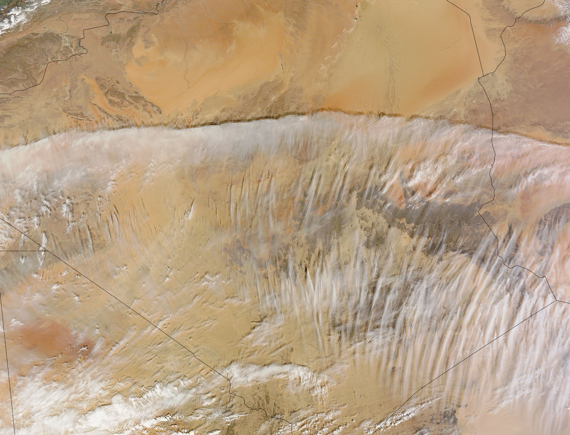
Amazing Image: Clouds Over the Sahara Desert

Get the world’s most fascinating discoveries delivered straight to your inbox.
You are now subscribed
Your newsletter sign-up was successful
Want to add more newsletters?
Join the club
Get full access to premium articles, exclusive features and a growing list of member rewards.
Rain rarely falls in the Sahara Desert, but the skies are not always sunny. Case-in-point: NASA's Terra satellite captured a spectacular image of late morning fog across southern Algeria on Feb. 12, 2011.
Although daytime temperatures in the Sahara can be quite hot, even in winter, temperatures often plunge in the evening. Under these conditions, fog or low stratus clouds can form when warm, relatively moist air crosses over the colder, dry land. When this happens, moisture to condenses out of the air and forms the wispy clouds.
From space, the low clouds can look like a thin, white sheet covering a swath of land.
The Moderate Resolution Imaging Spectroradiometer (MODIS) aboard NASA's Terra satellite captured this image of clouds at 11:35 a.m. local time (10:35 a.m. UTC). At the time, Tropical Cyclone Giovanni was swirling off the coast of Mozambique, to the southeast, and the strong storm was pushing warm, moist air northwestward. Meanwhile, to the northwest of the Sahara, a Siberian anticyclone (or high pressure system) was bringing bitter cold air to Europe and causing snow to fall in northwestern Algeria.
Reach Becky Oskin at boskin@techmedianetwork.com. Follow her on Twitter @beckyoskin. Follow OurAmazingPlanet on Twitter @OAPlanet. We're also on Facebook and Google+.
Get the world’s most fascinating discoveries delivered straight to your inbox.
 Live Science Plus


