Chilly Storm to Bring Rain, Snow to Southwest
This article was provided by AccuWeather.com.
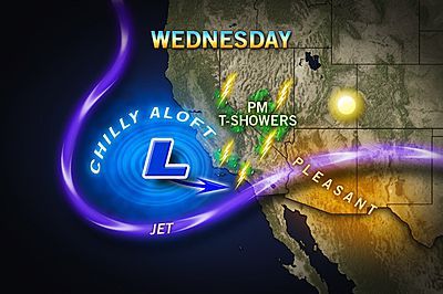
A Pacific storm will impact the nation's Southwest corner over the next few days, bringing fall-like temperatures, rain and even snow to the higher elevations.
The storm will mark the first measurable rain in months for parts of Southern California.
Slow travel, airport delays and surprised residents are all possible over the next couple of days as the storm pushes inland toward the Four Corners region and eventually the drought-stricken Plains.
Today, showers and even thunderstorms will impact mainly coastal central California, and perhaps even the Greater L.A. area later in the day.
In Downtown L.A., there has been no measurable rain since July 12.
Thunderstorms will also erupt across the interior Great Basin region, not too far from Las Vegas or Death Valley.
Sign up for the Live Science daily newsletter now
Get the world’s most fascinating discoveries delivered straight to your inbox.
By Thursday, San Diego and even desert cities such as Palm Springs will be in line for some rain and rumbles of thunder.
No rain has been measured in San Diego rain gauges since May 25.
Of course with the threat of rain, comes an increase in clouds, which will not only ruin sunbathing in the California sun, but hold temperatures down as much as 10 to 20 degrees below seasonal norms.
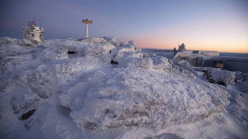
The chillier air found in the mountains of Souther California and Arizona will even support the season's first accumulating snow above 7,000 feet.
Such high snow levels will keep I-5 clear of icy travel through the Grapevine, but rain mixed with months of accumulated oils on Southern California highways will mean a dangerous mix. Slow travel is advised during and after any rain.

As Meteorologist Anthony Sagliani pointed out over the weekend, "Odds for any widespread soaking rain are very low." However, any thunderstorm could contain brief downpours, and perhaps even some small hail due to the very cold air aloft.
An increase in moisture from northern Mexico, will feed more widespread and heavier showers and storms, as well as high-elevation snow come Friday from the eastern Great Basin into the southern Rockies.
From there, it's on to the Plains, where the rain is sorely needed, but severe thunderstorms are not.
© AccuWeather.com. All rights reserved. More from AccuWeather.com.
