Space photo of the week — Extraordinary images of our sublime universe
Space photos remind us that, around every corner of our vast universe, something spectacular awaits. From the newest James Webb Space Telescope images to historic photos of groundbreaking space missions, join us every Sunday as we explore the wonders of the universe, and humanity's place in it.
See more incredible space photos:
Latest about space photo of the week
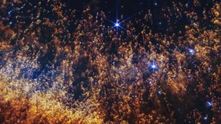
James Webb telescope peers into 'Eye of God' and finds clues to life's origins — Space photo of the week
By Jamie Carter published
A spectacular new image from the James Webb Space Telescope reveals intricate structures inside the Helix Nebula, where a dying sunlike star is enriching the galaxy with the elements needed for life.
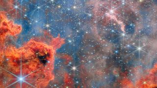
James Webb telescope spots 'failed stars' in a breathtaking cluster near Earth — Space photo of the week
By Shreejaya Karantha published
The James Webb Space Telescope captured a colorful portrait of a nearby stellar cradle, revealing a wealth of insights about countless stars.
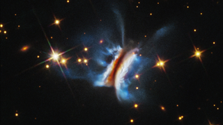
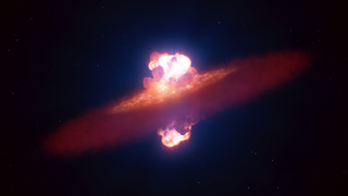
Giant cosmic 'sandwich' is the largest planet-forming disk ever seen — Space photo of the week
By Jamie Carter published
A strange, sandwich-shaped object is giving astronomers a rare view of the chaotic birthplaces of planets.
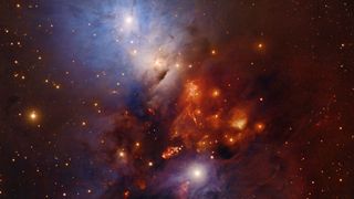
Stunning array of 400 rings in a 'reflection' nebula solves a 30-year-old star-formation mystery — Space photo of the week
By Jamie Carter published
The discovery is the first direct observational confirmation of a theory for how young stars feed on, and then explosively expel, surrounding material.
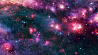
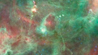
James Webb telescope spies a monstrous molecular cloud shrouded in mystery — Space photo of the week
By Shreejaya Karantha published
In this James Webb telescope image, the gigantic molecular cloud near our galaxy's center appears as a canvas of pink and purple clouds set against a shadowy backdrop.
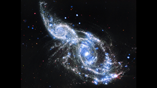
Glittering new James Webb telescope image shows an 'intricate web of chaos' — Space photo of the week
By Jamie Carter published
This mash-up of data from the James Webb Space Telescope and the Chandra X-ray Observatory reveals two galaxies mid-collision, with their spiral arms overlapping and bending toward their neighbors' cores.
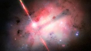
Strange, 7-hour explosion from deep space is unlike anything scientists have seen — Space photo of the week
By Jamie Carter published
Astronomers used major telescopes across the world to probe a cosmic explosion 8 billion light-years from the solar system.
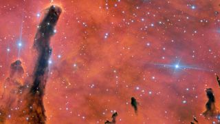
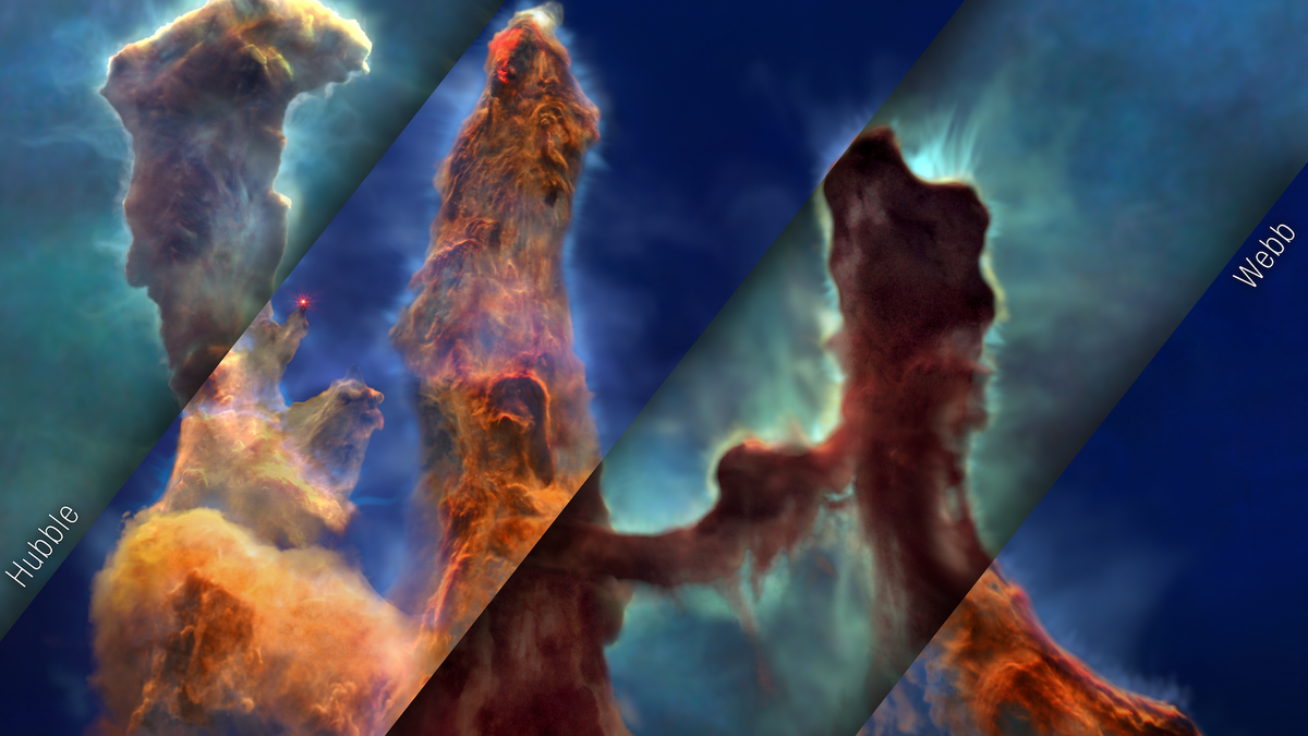
Ethereal structure in the sky rivals 'Pillars of Creation' — Space photo of the week
By Jamie Carter published
The twin telescopes of the Gemini Observatory mark 25 years of discovery as students name distant nebula Ua ʻŌhiʻa Lan.
Get the world’s most fascinating discoveries delivered straight to your inbox.
 Live Science Plus


