Breaking: NHC Modifies Hurricane Warning Definition in Wake of Sandy
This article was provided by AccuWeather.com.
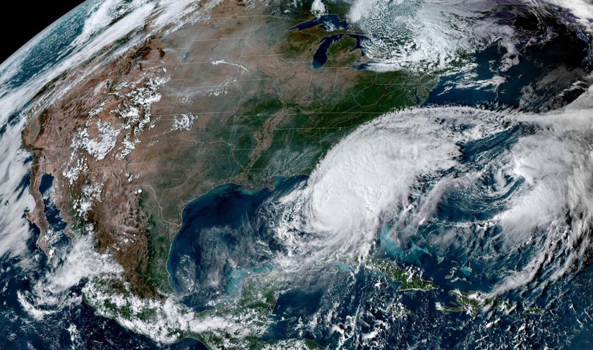
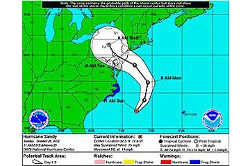
Following the criticism of the National Hurricane Center's handling of Hurricane Sandy and the non-issuance of hurricane warnings north of North Carolina, it has been decided that the NHC will now have more flexibility in their policy regarding the issuance of advisories.
Beginning in 2013, the NHC will have the flexibility to issue multiple advisories on post-tropical cyclones for landfalling systems or close bypassers.
According to the NHC, this required a revision of the Hurricane Warning definition, which will now be as follows:
An announcement that sustained winds of 74 mph or higher are expected somewhere within the specified area in association with a tropical, sub-tropical, or post-tropical cyclone. Because hurricane preparedness activities become difficult once winds reach tropical storm force, the warning is issued 36 hours in advance of the anticipated onset of tropical-storm-force winds. The warning can remain in effect when dangerously high water or a combination of dangerously high water and waves continue, even though winds may be less than hurricane force.
"The main issue is: we want people to get ready for hurricane conditions, and that's why we are changing the definition of hurricane warning to be a little more inclusive of other things than just a hurricane," Chris Landsea, Science and Operations Officer at the National Hurricane Center, told AccuWeather.com.
Additionally, the NHC eventually plans to begin differentiating between wind hazards and storm surge hazards.
Sign up for the Live Science daily newsletter now
Get the world’s most fascinating discoveries delivered straight to your inbox.
"Sandy was not ideal, and the way we handled it was not right. But we're fixing it," Landsea told AccuWeather.com.
"We realize this was not satisfactory and we want to make it better for next year."
AccuWeather.com. All rights reserved. More from AccuWeather.com.
