Incredible places: A window onto extraordinary landscapes on Earth
Earth is home to some truly mind-boggling landscapes, from salt-covered deserts to giant, underwater waterfalls. Geological and biological processes, together with climates and inevitable wear-and-tear, have shaped these natural landscapes over the eons into the awe-inspiring features we see today. Every week, we open a window onto an incredible place and highlight the fantastic history and science behind it.
Explore more amazing places on Earth
Latest about incredible places
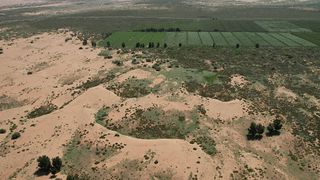
China's Great Green Wall: The giant artificial forest designed to slow the expansion of 2 deserts
By Sascha Pare published
Since 1978, China has planted more than 66 billion trees along its 2,800-mile-long northern border, and it wants to plant 34 billion more over the next 25 years to complete its "Great Green Wall."
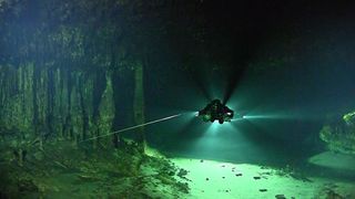
Sistema Ox Bel Ha: A vast hidden system that's the longest underwater cave in the world
By James Price published
This incredible submerged cave network is the longest of its kind in the world and plays a vital role in the region.
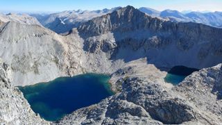
Triple Divide Peak: Montana's unique liquid 'crossroads' where water can flow into three oceans
By Sascha Pare published
Triple Divide Peak in Montana is the only place on Earth where water can flow into one of three different oceans, according to some definitions.
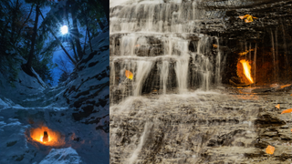
Eternal Flame Falls: New York's mini waterfall that hides a grotto filled with undying fire
By Sascha Pare published
Eternal Flame Falls sits on a bed of shale rocks rich in organic matter. As this matter breaks down, it produces highly flammable natural gas that escapes through cracks in the ground.
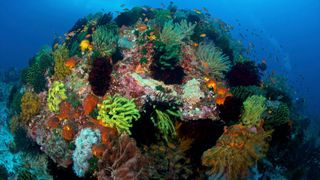
Coral Triangle: The giant hidden 'Amazon' beneath the sea that appears somewhat resilient to climate change
By Sascha Pare published
The Coral Triangle is an extremely biodiverse patch of ocean around the Philippines and Papua New Guinea. Its relatively murky waters appear to shield it against climate change — for now.
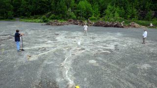
Cairo Fossil Forest: The oldest forest in North America with 385 million-year-old trees
By Sascha Pare published
The Cairo Fossil Forest is the second oldest in the world. These forests mark a turning point in Earth's history because they changed the composition of the atmosphere, scientists say.
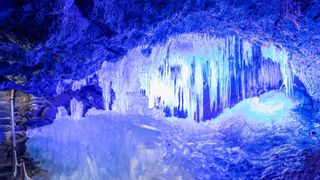
Narusawa Ice Cave: The lava tube brimming with 10-foot-high ice pillars at the base of Mount Fuji
By Sascha Pare published
The Narusawa Ice Cave is a natural lava tunnel that formed during a violent eruption of Mount Fuji in A.D. 864. Every winter, the cave grows giant ice pillars due to its freezing temperatures.
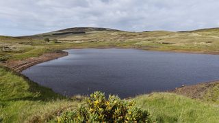
Loughareema: The 'vanishing lake' in Northern Ireland that mysteriously drains and refills itself within hours
By Sascha Pare published
The Vanishing Lake in Northern Ireland's County Antrim can be full in the morning and empty a few hours later, thanks to an underground drainage system that scientists still don't fully grasp.
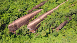
Three Whale Rock: Thailand's 75-million-year-old stone leviathans that look like they're floating in a sea of trees
By Sascha Pare published
Three Whale Rock is a geological formation and tourist attraction in Thailand's Phu Sing Forest Park that looks remarkably like a small family of whales.
Get the world’s most fascinating discoveries delivered straight to your inbox.


