Antarctic Album: Drilling Into Subglacial Lake Whillans
Hidden Lake
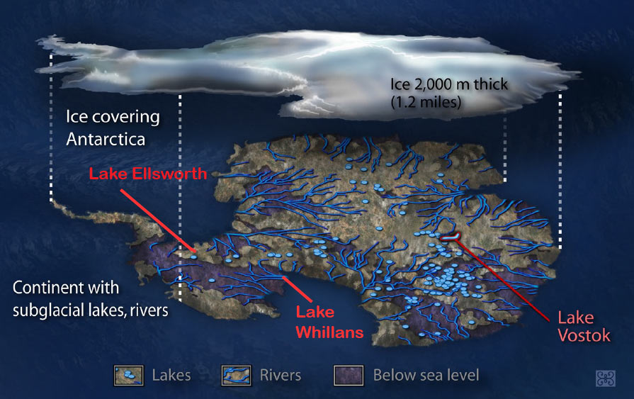
U.S. scientists successfully drilled into Lake Whillans, a subglacial expanse of water measuring about 1.2 square miles (3 square kilometers) and hidden deep beneath the Antarctic ice sheet, they reported on Friday, Jan. 25, 2013.
WISSARD Project
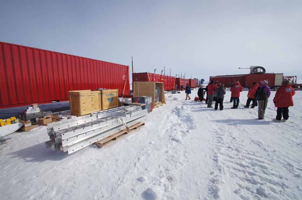
The Whillans Ice Stream Subglacial Access Research Drilling project (WISSARD) is using a variety of tools and techniques to explore Subglacial Lake Whillans and the nearby grounding zone, on the southeastern edge of the Ross Sea.
Ross Ice Shelf
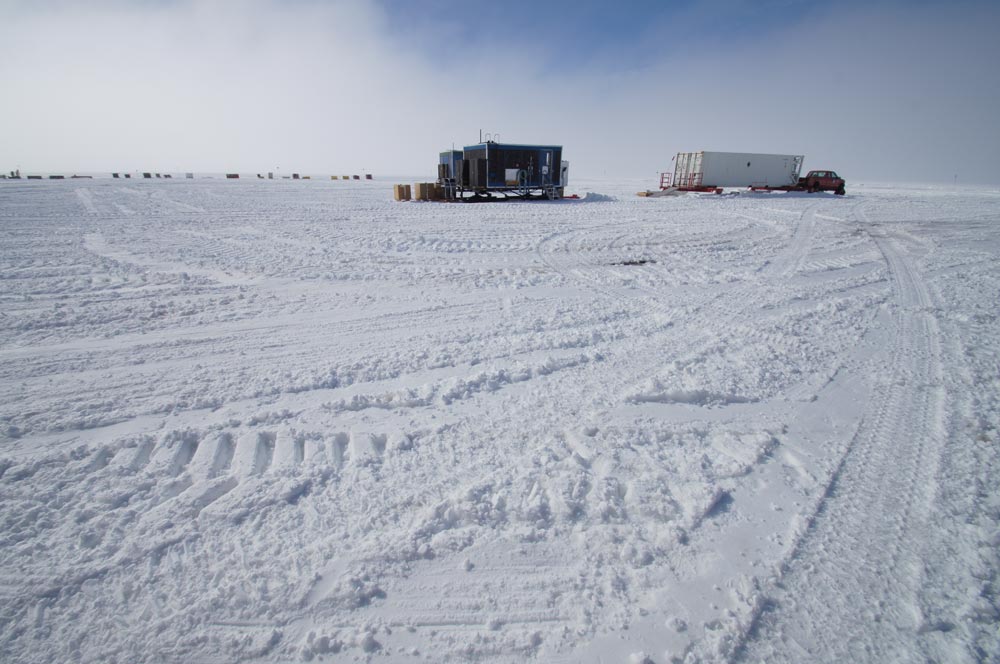
The WISSARD test site is on the Ross Ice Shelf, just off the coast of the Antarctic continent and close to McMurdo Station.
Lots of Equipment
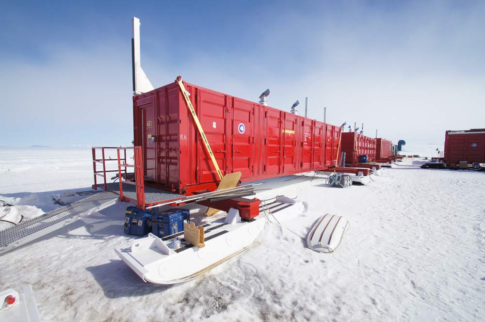
On Dec. 9, 2012, science writer Govert Schilling visited the WISSARD test site as a selected member of the NSF Antarctic media visit program. The test site resembled a small factory, with generators, water tanks, labs, workshops, data centers and, of course, the actual drilling platform — all mounted on giant skis.
Lake Whillans
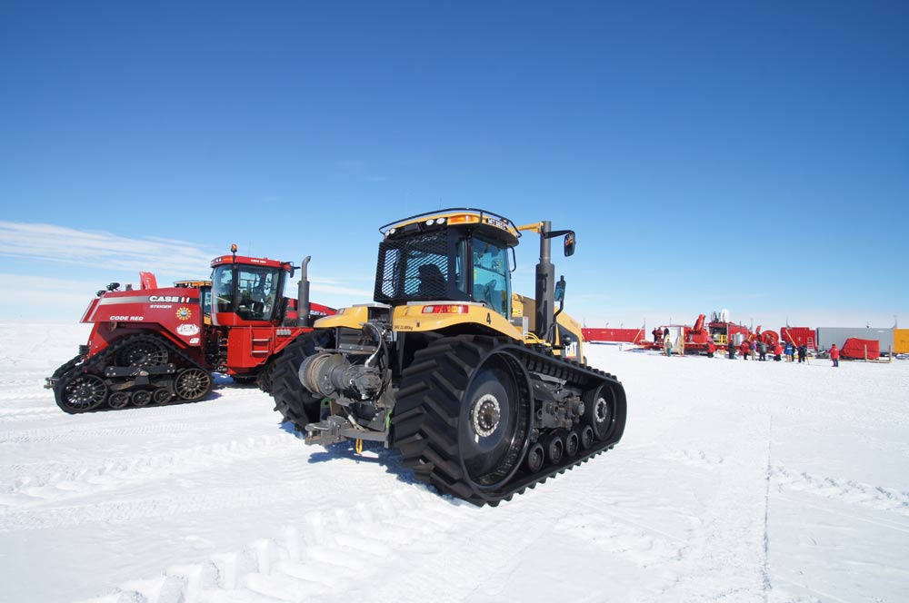
In the background were the tractors that would pull the whole installation to Lake Whillans, across hundreds of miles of solid ice.
Cold Proof
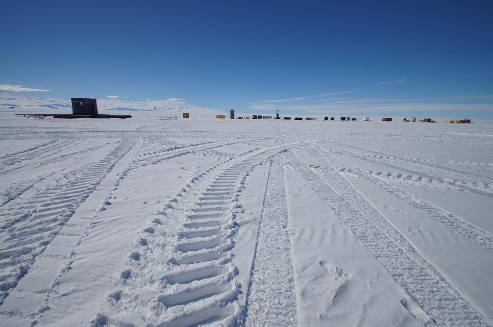
A view of the WISSARD project site.
Active Volcano
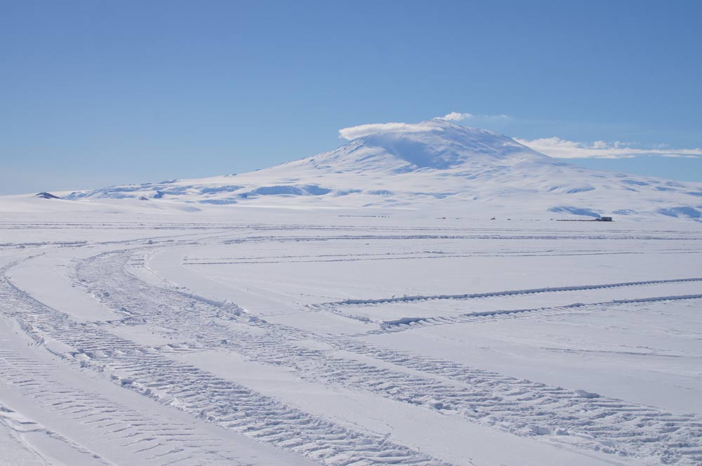
The big mountain in the background with the smoke around its top is MountErebus, the southernmost active volcano in the world, at an altitude of 12,447 feet (3,794 meters).
Sign up for the Live Science daily newsletter now
Get the world’s most fascinating discoveries delivered straight to your inbox.
Wissard Project
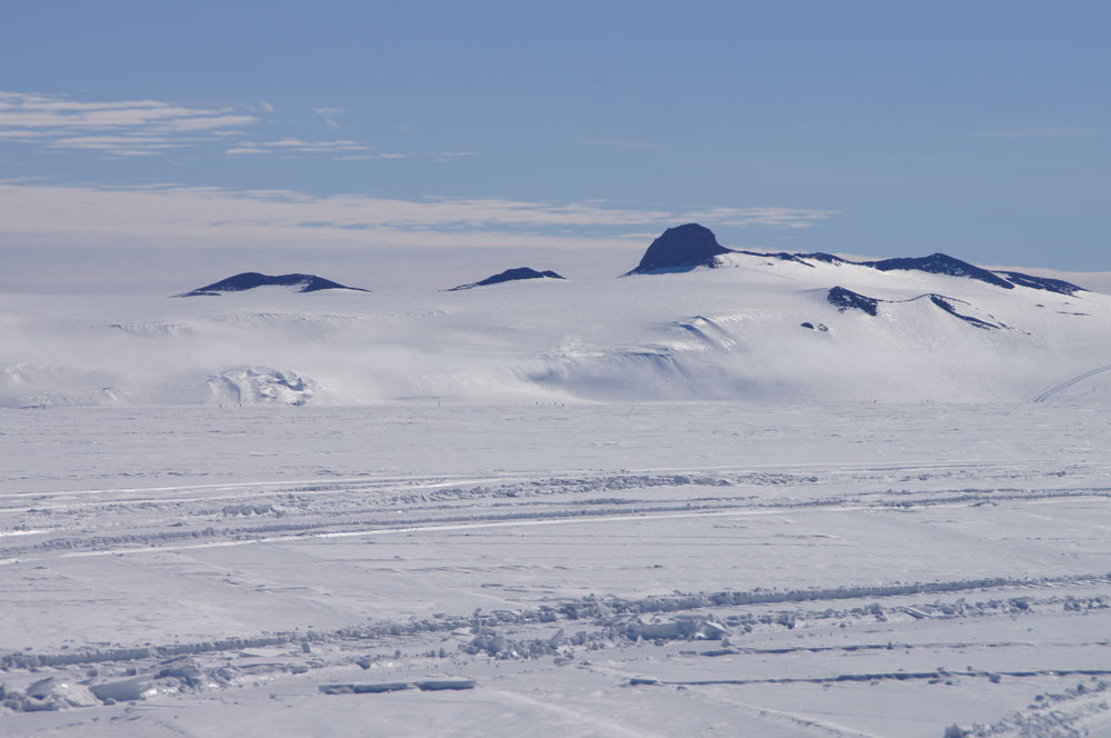
wissard project site in antarctica
Science Laboratory
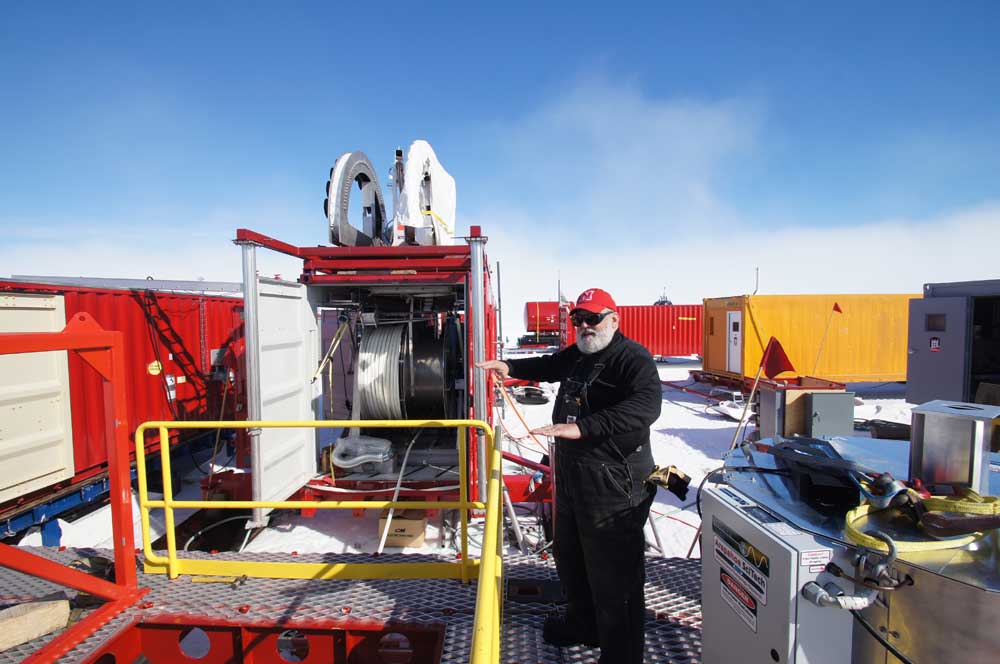
Equipment will be lowered down the 2,625-foot (800-meter)-deep hole to carry out measurements and to obtain water samples for further study on board container-based scientific laboratories on the surface.
Lake Whillans
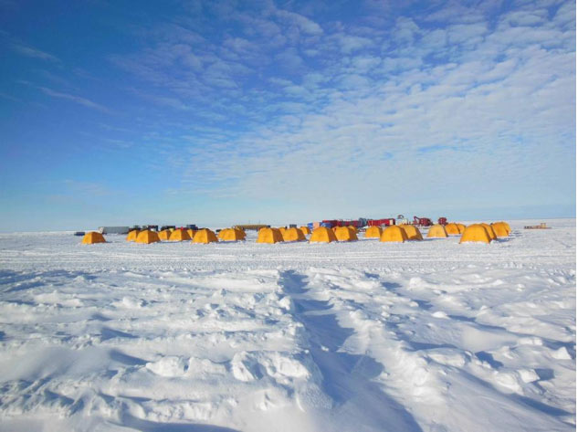
Lake Whillans lies beneath an ice stream that moves about a meter per day, as opposed to something like a meter per year for the surrounding icecap. Little is known about the possible relation between ice streams on the surface and subglacial river systems, which have only been discovered – and charted through radar – over the past couple of decades.
Head Driller
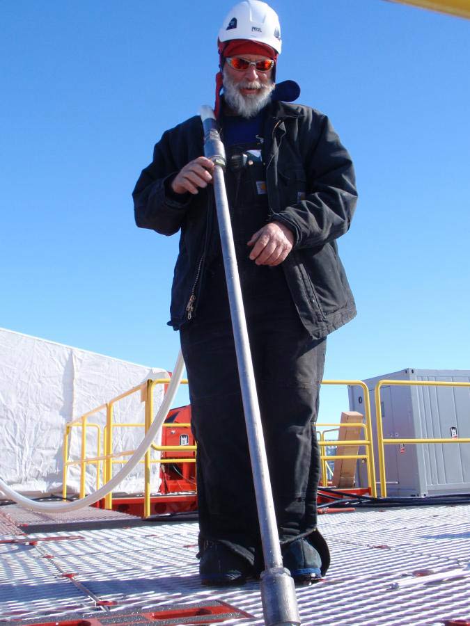
In mid-December, scientists completed a 66-foot (80-m)-deep test drill through the Ross Ice Shelf. Here, Dennis Duling, head driller, with the hose and drill nozzle at the test site in December 2012.


