Tropical Cyclone Tim to Turn Toward Australia

This article was provided by AccuWeather.com.
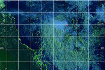
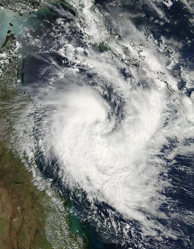
Tropical Cyclone Tim strengthened slightly on Thursday over the open waters of the Coral Sea, east of Australia. Since then, Tim has begun to weaken as it interacts with less favorable upper-level conditions.
Tim has been tracking east-southeast for several days, passing just north of Willis Island Wednesday into Thursday. During this time, the storm brought more than 6 inches of rainfall to the island along with sustained winds near 40 mph.
Current thinking is that Tim will track more to the southeast through Saturday before looping back to the west. This track will take the storm closer to Australia during the early to middle part of next week. However, this track will keep Tim in an area unfavorable for any strengthening and will likely weaken the storm to the point that it may lose its tropical characteristics.

Regardless, the central and southern coastline of Queensland could be impacted by rainfall from Tim by as early as Monday. While odds of a landfall appear low, the storm could still track close enough to the coast that flooding rainfall may occur.
Areas from Townsville south to Brisbane should closely monitor this tropical cyclone in the coming days for possible impacts next week.
This region was already hit hard by flooding earlier this month when a strong low pressure system brought more than a foot of rain over a two- to three-day period.
Sign up for the Live Science daily newsletter now
Get the world’s most fascinating discoveries delivered straight to your inbox.
AccuWeather.com. All rights reserved. More from AccuWeather.com.
The only sure thing about weather forecasts is that they’re wildly different all over the planet. Test your knowledge on the wild ranges in temperature, precipitation and more.
Extreme Weather Facts: Quiz Yourself


