Images: Journey to Kamchatka's Volcanoes

Gorely From Camp
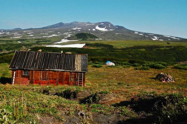
For two weeks this summer, a group of scientists is hiking to two remote Russian volcanoes on the Kamchatka Peninsula, to collect rocks and carry them back to laboratories for testing. The researchers are hoping to pinpoint the dates of the massive volcanic explosions that have brought down the Gorely and Mutnovsky volcanoes several times over the course of hundreds of thousands of years.
Each time one of the mountains collapses, it slowly builds itself back up, only to repeat the process of destruction and rebirth once again.
Here, the view from the researchers' camp. Gorely is the mountain in the distance.
Gorely Crater Lake
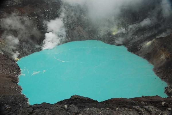
A steaming, turquoise lake is nestled atop the Gorely volcano.
Gorely Mutnovsky Canyon
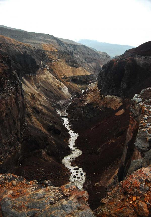
A wild river cuts through the rugged Kamchatka landscape near the Gorely and Mutnovsky volcanoes.
Gorely Mutnovsky Mntns
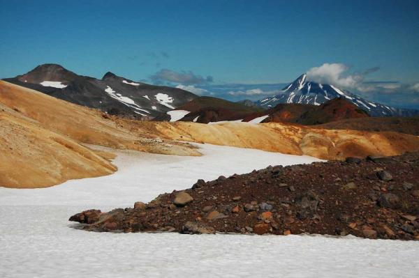
The Kamchatka Peninsula is vast and, in many places, quite desolate. Stretching across more than 180,000 square miles (470,00 square kilometer), the peninsula is in Russia's far northeast, bordered by the Pacific Ocean to the east and the Sea of Okhotsk to the west. Its volcanoes are a designated World Heritage Site.
Mutnovsky Volcano
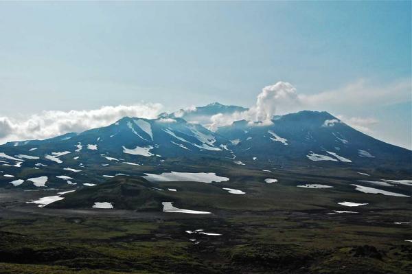
The Mutnovsky volcano. Scientists are collecting lava rocks from its lonely slopes, and plan to use radioactive dating techniques to find out when this massive mountain suffered an explosion so intense that it collapsed on itself. The mountain has slowly risen again from the landscape, built back up as magma accumulates.
Get the world’s most fascinating discoveries delivered straight to your inbox.
Mutnovsky Volcano Close
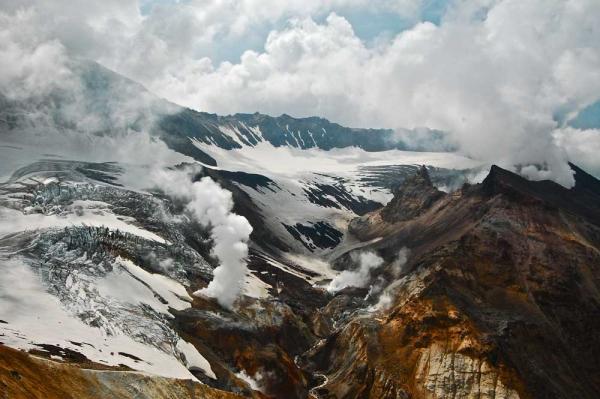
The Mutnovsky volcano up close.


