NASA's IceBridge In Action Over Antarctica
Dc Icebridge Dryden B
The IceBridge mission, a six-year NASA campaign, is the largest airborne survey of Earth's polar ice ever flown. It will yield never-before-seen 3-D images of Arctic and Antarctic ice. The flights provide a yearly, multi-perspective look at the behavior of the rapidly changing features of the Greenland and Antarctic Ice Sheets and the glaciers that run from them into the oceans.
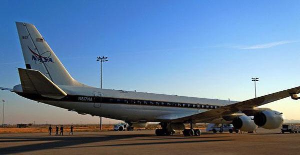
On Oct. 17, the IceBridge DC-8, parked outside the hanger at NASA's Dryden Flight Research Center in Edwards, Calif., is prepared for an instrument test flight.
Dc Icebridge Santiago B
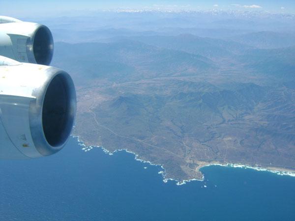
The DC-8 flew to Santiago, Chile, on Oct. 21, where it stayed overnight before heading to Punta Arenas, Chile -- base for the 2010 Antarctic IceBridge mission.
Weddell Sea Radar B
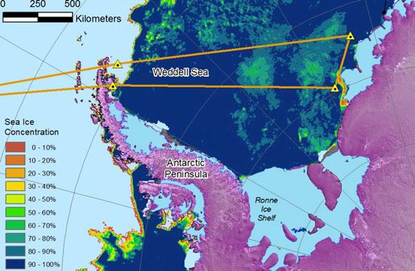
The first flight of the IceBridge mission was flown on Oct. 27. The researchers flew over the Weddell Sea, following a path established by researchers from the year before. The satellite image shows differing ice thickness in the area.
Dc Icebridge B
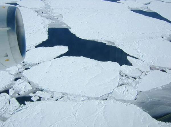
Five days of bad weather delayed the first flight but eventually everything cleared up and the team was able to head out. This image shows a window view of the Weddell Sea from the window of the mission's DC-8.
Icebridge South Pole Flight
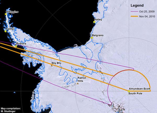
This map details the flight paths that researchers took during the the 2009 and 2010 IceBridge missions over the South Pole. The more recent South Pole flight was undertaken Nov. 4 and is shown on the map in orange.
Icebridge South Pole Station
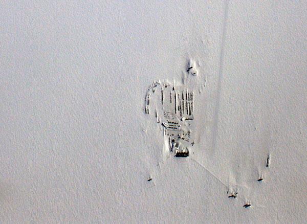
The Amundsen-Scott South Pole Station was easily visible during the Nov. 4 flight. By flying over the station , the researchers were able to use the GPS data that is being collected there for their trajectory computations.
Sign up for the Live Science daily newsletter now
Get the world’s most fascinating discoveries delivered straight to your inbox.
Runway Topography Icebridge
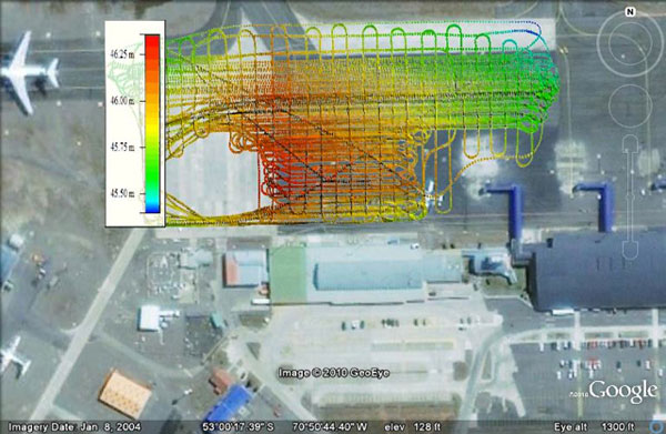
On Nov. 7, while waiting for a replacement plane part, Kyle Krabill, an engineer at NASA's Wallops Flight Facility made this topographic map of the runway the mission's DC-8 used. This type of map is called a "car survey" because it involves a three-hour journey criss-crossing the pavement at a maximum speed of 5 mph (8 kph). An elevation map like this is critical for calibrating IceBridge's airborne instruments.
Icebridge Crew Takeoff
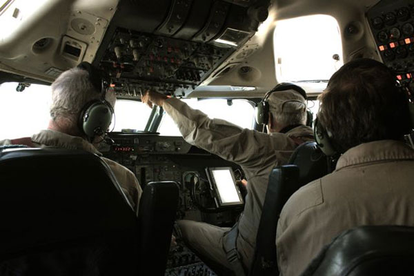
On Nov. 10, the plane had its new part and the researchers made another flight of the same South Pole arc from Nov. 4. This image shows the DC-8 crew preparing for takeoff.
Icebridge Timezone Map
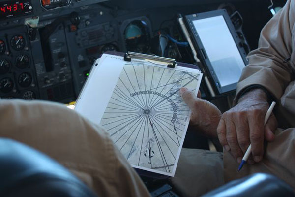
During their flight around the South Pole, the DC-8 and all of its passengers will flew through enough time zones to go through Wednesday and Thursday. Here, a pilot shows a researcher how narrow the Antarctic time zones are.
Icebridge Lvis Engineer
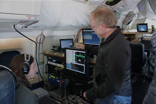
Shane Wake and Bryan Blair LVIS engineer and principal investigator at NASA's Goddard Spaceflight Center in Maryland - take a look at the LVIS instrument read-out in their station near the rear of the DC-8. The LVIS (Land, Vegetation and Ice Sensor) takes measurements of surface height. A laser pulse is transmitted from the instrument and reflected back from the surface where the return pulse is recorded. Using those readings, scientists can calculate the height of the ice below.
Icebridge Transarctic Glacier
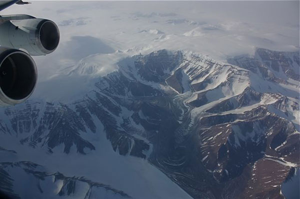
A view of a Transantarctic mountain glacier from the Nov. 10 flight.
