Most Amazing Images of Earth from 2010
September 10
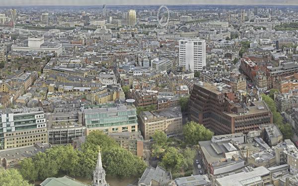
This portion of an 80-gigapixel image of London is the largest 360-degree panorama in the world. It is unmatched in its clarity and definition. The image is one of many such gigapixel images of cities and other areas of the Earth that photographers are competing against each other to take, each one besting the previous one. If printed at home, the image of London would be 115 feet long and 56 feet tall (35 meters by 17 meters tall).
October 26
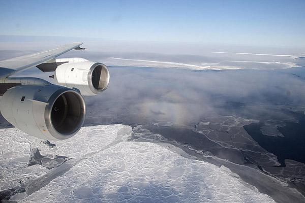
In this image, taken Oct. 26 over Antarctica's Brunt Ice Shelf, a glory surrounds the shadow of the DC-8 plane that is flying NASA's IceBridge mission to survey the state of Antarctic ice. The image was taken during the first flight of Icebridge's fall 2010 campaign. A glory is an optical phenomenon which appears much like a saint's halo about the head of the observer, is produced by a combination of diffraction, reflection and refraction by a cloud of uniformly-sized water droplets.
November 16
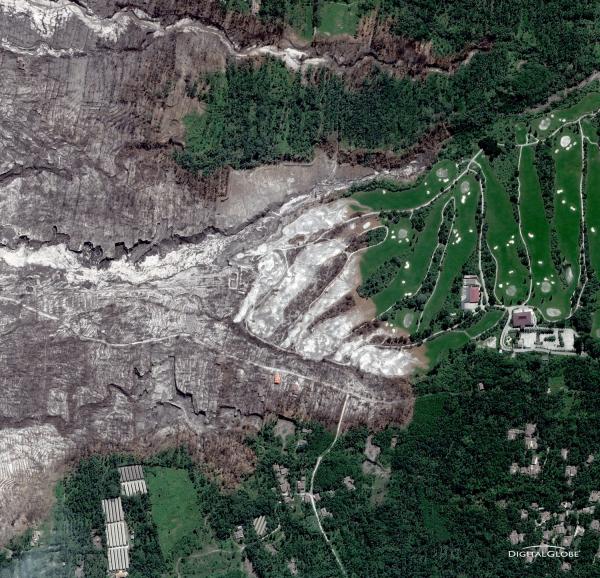
Indonesia's relentlessly erupting Mount Merapi killed more than 200 people and sent more than 350,000 people fleeing its lava flows and ash clouds over several weeks. Pyroclastic flows scorching rivers of gas and rock are the biggest threat during a volcanic eruption, and several were spotted flowing down the mountain. In the above image, the dark gray area just north of a golf course is a dead zone where a pyroclastic flow burst across the landscape, wiping out everything in its path.
December 12
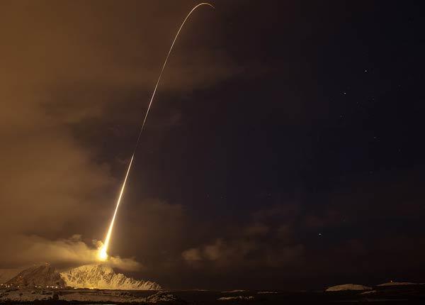
A NASA rocket broke the frigid darkness of the early morning as it blasted off for a brief flight arcing through Earth's aurora, or northern lights. The 65-foot (19.8-meter)-long rocket launched from Norway's Andøya Rocket Range, packed with instruments to take data on neutral gas, electric and magnetic fields, precipitating particles, and other conditions inside the aurora. The launch seemed to be a success.
Sign up for the Live Science daily newsletter now
Get the world’s most fascinating discoveries delivered straight to your inbox.

