Expedition Sets Sail to Plumb Arctic Depths

A ship expedition is under way to conduct the first modern-day survey of seafloor depths along a vast region of the Arctic Ocean.
Water depth in the Kotzebue Sound, off northwestern Alaska, hasn't been studied in more than a century since the United States purchased Alaska in 1867.
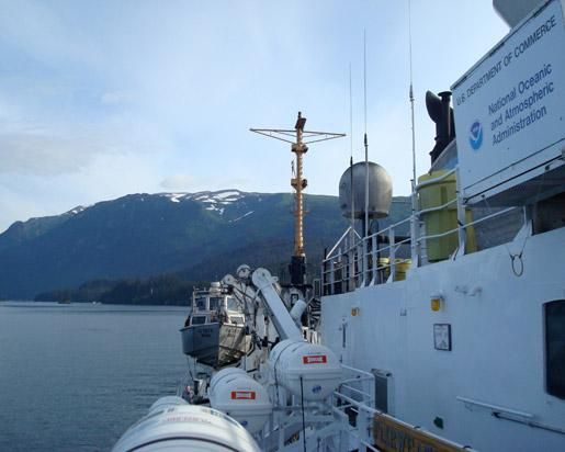
The 230-foot (70-meter) Fairweather, a National Oceanic and Atmospheric Administration (NOAA) survey vessel, set off from Kodiak, Alaska, on July 7, and will spend two months at sea, measuring ocean depths across roughly 530 square miles (1,370 square kilometers) in a region that is seeing a marked increase in ship traffic .
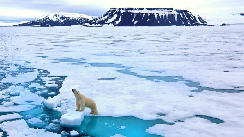
Satellite measurements that began in 1979 show that Arctic sea ice cover has been declining steadily . As sea ice has disappeared, ships have taken advantage of the open water.
"The reduction in Arctic ice coverage is leading over time to a growth of vessel traffic in the Arctic, and this growth is driving an increase in maritime concerns," said NOAA Corps Capt. David Neander, commanding officer of the Fairweather, in a statement.
"Starting in 2010, we began surveying in critical Arctic areas where marine transportation dynamics are changing rapidly. These areas are increasingly transited by the offshore oil and gas industry, cruise liners, military craft, tugs and barges and fishing vessels," Neander said.
The Fairweather and its survey launches are equipped with state-of-the-art acoustic technology to measure ocean depths, collect 3-D imagery of the seafloor and detect underwater hazards that could pose a danger to surface vessels. The ship itself will survey the deeper waters, while the launches work in shallow areas.
Sign up for the Live Science daily newsletter now
Get the world’s most fascinating discoveries delivered straight to your inbox.
Recent expeditions to the Arctic are attempting to better understand the processes that are fueling the loss of the region's ice.


