Hurricane Irene Roundup: Best Places for Irene Info

Hurricane Irene is barreling up the East Coast, bringing punishing winds, rains and dangerous storm surges that may affect millions of people along the Atlantic coastline. As the storm approaches, here are some of the best places for the latest hurricane information.
National Hurricane Center public advisories. The very latest information on Hurricane Irene, compiled from data sent back by hurricane-hunting aircraft , satellites and other sources. Advisories are updated every three hours, 24-hours a day. They are posted at 8 a.m., 11 a.m., 2 p.m., 5 p.m., and so on.
The Weather Channel's website. The very latest breaking news on Hurricane Irene's path and impact. Plug in your zip code to find out how you'll be affected.
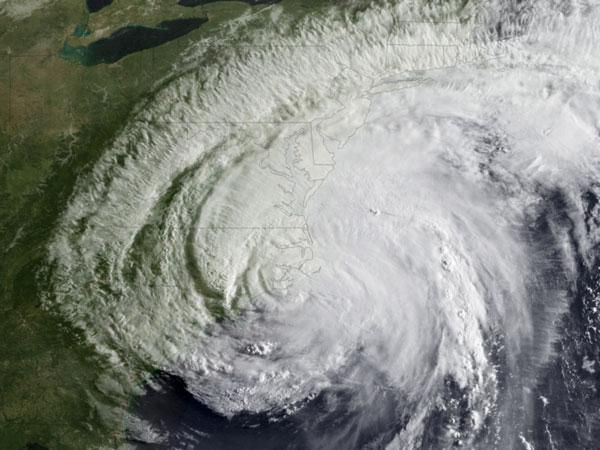
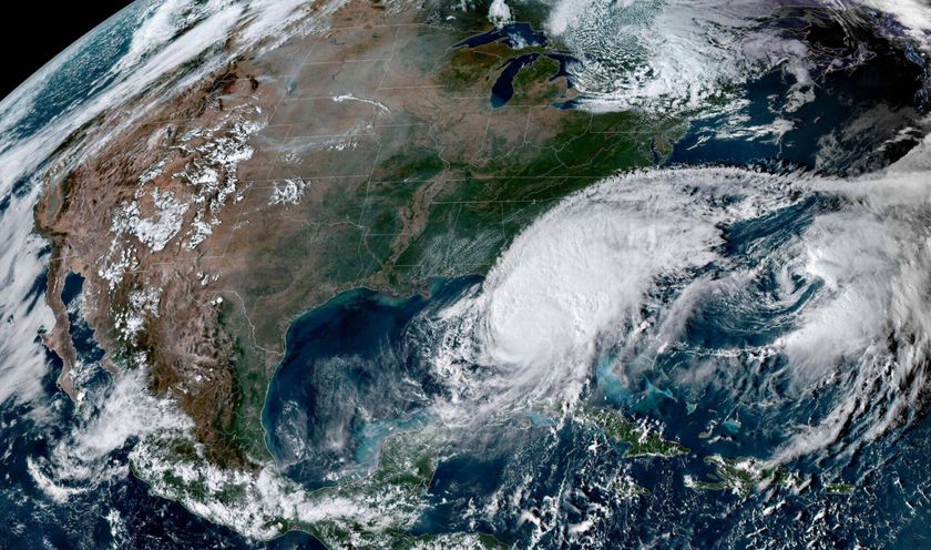
National Oceanic and Atmospheric Administration's GOES east satellite. The satellite snaps a picture of Irene's latest progress every 30 minutes, if you want a visual of the hurricane from space.
NASA's Hurricane Facebook Page. A good resource for in-depth information on Hurricane Irene from NASA scientists.
Hurricane Irene is a Category 1 storm, packing maximum sustained winds of 85 mph (140 kmh). The storm is moving over eastern North Carolina at 13 mph (20 kph), and heading up the Eastern Seaboard , according to the most recent update from the National Hurricane Center.
Hurricane-force winds extend outward up to 90 miles (150 km) from the center of the storm, and tropical storm-force winds (winds up to 74 mph) extend outward up to 260 miles (415 km).
Sign up for the Live Science daily newsletter now
Get the world’s most fascinating discoveries delivered straight to your inbox.
If the center of Irene moves more over land than forecast during the next 12 to 24 hours, it could slightly weaken. However, whether Irene is a strong tropical storm or hurricane over New England will make little difference in the expected impacts of damaging winds, a dangerous storm surge and flooding rains, forecasters warn.


