Images: Mission Flies Above Antarctica's Icy Wilderness
Rocky mountain face, Alexander Island
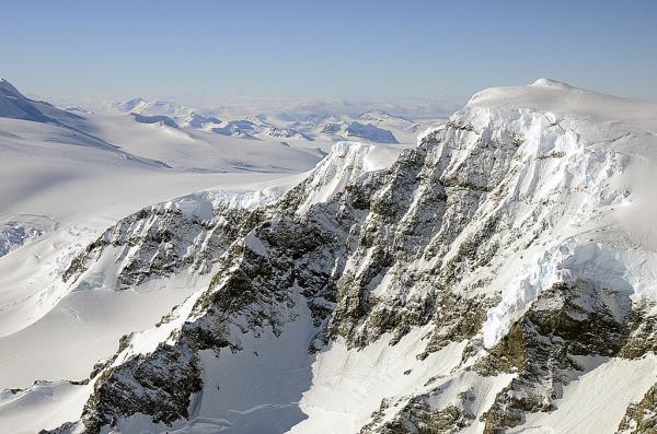
The landscape of Alexander Island, Antarctica, as seen by NASA's DC-8 on Oct. 24, 2011. NASA's Operation IceBridge monitors ice thickness in polar regions using instrument-laden aircraft during a break between satellite observations from 2009 to 2016. The 2011 Antarctic campaign captured dramatic images of the frozen continent during flights out of Punta Arenas, Chile.
G-V in Punta Arenas

The G-V in on the runway in Punta Arenas on Oct. 7, preparing for the first science flight of Operation IceBridge's Antarctica 2011 campaign. The G-V flew to the fast-moving Thwaites Glacier.
Pine Island Glacier ice shelf rift
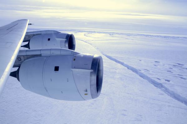
NASA's DC-8 flies across the crack forming across the Pine Island Glacier ice shelf on Oct. 26, 2011. The ice shelf is in the midst of a natural process of calving a large iceberg, which it hasn't done since 2001.
Clouds swarm Alexander Island mountains
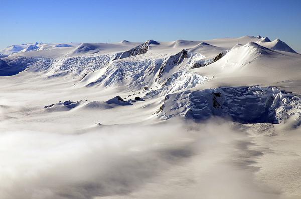
Alexander Island mountain range; seen from NASA's DC-8, Oct. 24, 2011.
Banking over the edge of Pine Island Glacier ice shelf

During a flight over the Pine Island Glacier ice shelf, the DC-8 banks over the Amundsen Sea and the clean edge of the ice shelf front. The shelf drops about 200 feet from its surface to sea level. This image was taken on Oct. 26, 2011.
Shackleton Range
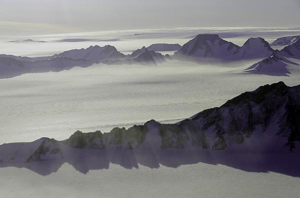
A view of the Shackleton Range, Coats Land, Antarctica, during NASA's DC-8 flight over the continent on Oct. 21, 2011.
Sign up for the Live Science daily newsletter now
Get the world’s most fascinating discoveries delivered straight to your inbox.


