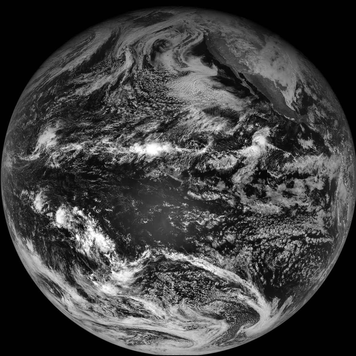
Satellite Takes Last Image of Earth
News
By
Live Science Staff
published

From NOAA Environmental Visualizaiton Laboratory:
The last full light, full disk visible image taken by GOES-11 while designated as the NOAA operational GOES-West satellite is shown here, taken on December 5, 2011 at 2100z. On December 6, 2011 GOES-15 will replace GOES-11 as GOES-West.
GOES-11 has served as the eye in the sky over the Pacific and Western U.S. since 2006, keeping a close watch on Pacific hurricanes, volcanoes along the “Ring of Fire,” some of the worst wildfires in California history, rain-packing atmospheric rivers. The search and rescue transponder capabilities have also helped save hundreds of lives, from lost hikers to sinking sailboats.
Sign up for the Live Science daily newsletter now
Get the world’s most fascinating discoveries delivered straight to your inbox.
For the science geek in everyone, Live Science offers a fascinating window into the natural and technological world, delivering comprehensive and compelling news and analysis on everything from dinosaur discoveries, archaeological finds and amazing animals to health, innovation and wearable technology. We aim to empower and inspire our readers with the tools needed to understand the world and appreciate its everyday awe.
Most Popular
LATEST ARTICLES


