
Image: Greenland's Dramatic Landscape
Sea Ice Meets the Fjord
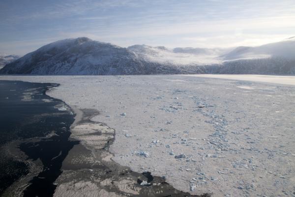
Chunks of glacial ice frozen into sea ice meet the open-water fjord in southeast Greenland, observed from the P-3 during a science flight there on April 8, 2011, that is part of NASA's IceBridge program.
Operation IceBridge, now in its third year, makes annual campaigns in the Arctic and Antarctic where science flights monitor glaciers, ice sheets and sea ice. The 2010 IceBridge mission to Antarctica ended on Nov. 21 after a total of 10 flights.
Sea ice flights, flown this year from March 16-28, take priority early in the mission's Arctic campaigns. That's because sea ice typically reaches its annual maximum extent in March, and scientists want to collect data before the ice begins to melt and retreat during northern hemisphere's summer. This year, sea ice reached its maximum extent on March 7, reaching 5.7 million square miles (15 million square kilometers) and tying for the lowest extent since the start of satellite measurements in 1979.
Northwest Greenland Canyons
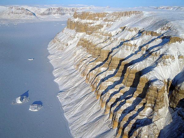
On March 29, IceBridge flew between deep canyons and over glaciers along the northwest coast of Greenland.
The IceBridge mission is the largest airborne survey of Earth's polar ice ever flown. It will yield never-before-seen 3-D images of Arctic and Antarctic ice. The flights provide a yearly, multi-perspective look at the behavior of the rapidly changing features of the Greenland and Antarctic Ice Sheets and the glaciers that run from them into the oceans.
SW Greenland Fjord and Mountain
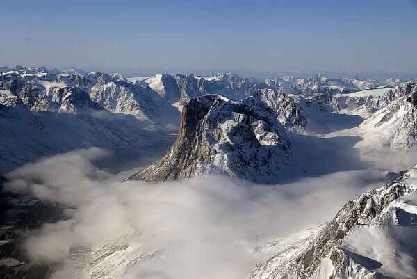
On April 8, IceBridge flew a mission to coastal areas in southwest Greenland. Mountains and an open-water fjord surround one of the mission's targets, a small ice cap called Sukkertoppen Isflade.
Windblown Snow
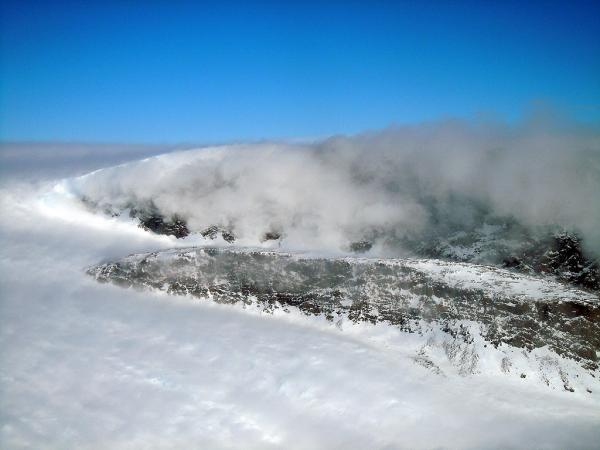
On April 11, IceBridge finally got the clear weather necessary to fly over glaciers in southeast Greenland, but with clear skies came winds of up to 80 mph (130 kph). What looks like clouds in this image is actually wind-blown snow. The data from this trip could help scientists to evaluate the impact of wind-blown snow on satellite-based laser altimetry measurements, which can help determine the surface height of the ice and in turn, its thickness.
Gyldenlove Glacier
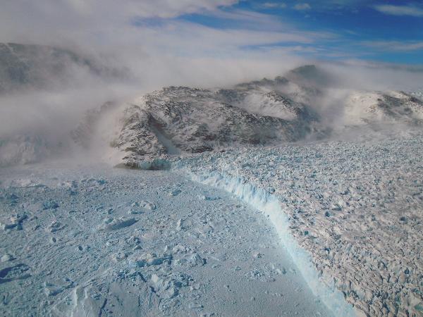
The winds that blew the snow made for a bumpy ride over the calving front of glaciers like Gyldenlove.
Scientists are hoping that the data from the IceBridge flights will help them better understand how these glaciers are responding to climate change.(above).
Sign up for the Live Science daily newsletter now
Get the world’s most fascinating discoveries delivered straight to your inbox.


