Stunning Antarctic Images Reveal Changes in Continent's Ice
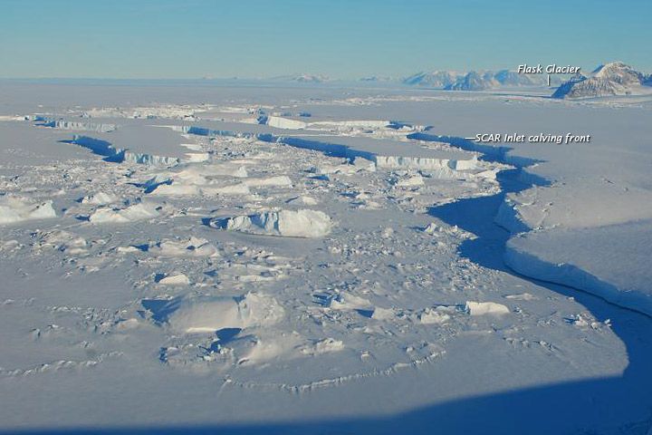
Photographs snapped last week of the Antarctic Peninsula reveal a glittering landscape of ice and snow, crowned by rugged mountains rising majestically in the distance. Yet no human captured the stunning view — it was the work of machines.
Thanks to the combined technological powers of satellites and weather stations scattered around the Antarctic Peninsula, researchers can now keep tabs on the region's shifting ice — which in recent years has undergone dramatic changes — from the comfort of their offices.
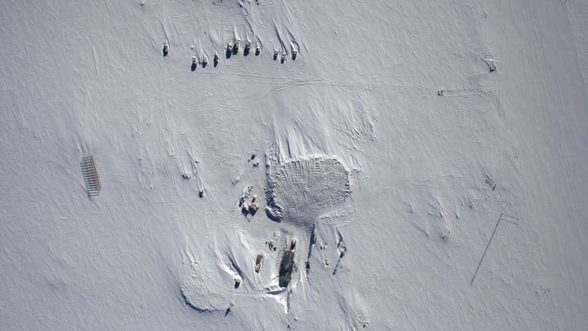
AMIGOS 6, one of many specialized weather stations staked around the region, took the above image on April 24 and relayed it to a satellite the same day.
First deployed during the 2010-2011 Antarctic field season, each AMIGOS (Automated Met-Ice-Geophysics Observation System) station is equipped with a thermometer, instruments to measure wind speed and direction and a camera to photograph its surroundings. Stations set out on the ice itself are equipped with GPS to monitor changes in the flow speed of Antarctic glaciers, which are essentially huge rivers of ice.
The AMIGOS are congregated near a spot that has been home to sudden, catastrophic changes in Antarctica's ice. In 2002, the Larsen B ice shelf — a vast, floating plain of ice larger than Rhode Island — broke off from Antarctica's coastline, disintegrated into an army of icebergs and floated away in the course of 35 days. (Ice shelves are enormous plates of ice that float on polar seas, but are connected to the shoreline by the land-bound glaciers that feed into them.)
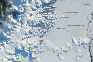
The above image shows the remaining stub of that ice shelf, which is labeled as the SCAR inlet calving front (calving is the process by which icebergs break off of ice shelves).
The AMIGOS and the watchful satellites that sail overhead are helping scientists monitor any further changes in the region's ice. When ice shelves collapse, the glaciers that feed them speed up, dumping more ice into the ocean and raising sea levels.
Sign up for the Live Science daily newsletter now
Get the world’s most fascinating discoveries delivered straight to your inbox.
Sunny skies and westerly winds prevailed in the region when a NASA satellite snapped the above photo on April 24, and temperatures rose well above freezing.
However, the sudden warm spell was preceded by weeks of weather that was colder than usual. The sea ice that is choking the shoreline, labeled as fast ice in the image, is a telltale sign of the recent frigid temperatures.
Follow OurAmazingPlanet for the latest in Earth science and exploration news on Twitter @OAPlanet and on Facebook.

