Thunderstorms Could Be Ozone Factories
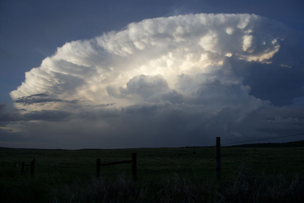
Thunderstorms not only clobber the Earth's surface with heavy rain and lightning, they also shake things up at cloud level.
This spring, scientists at the National Center for Atmospheric Research and other organizations will explore what happens when storms bring air from Earth's surface many miles up into the atmosphere using research aircraft, mobile radars and lightning mapping arrays.
One of the project's key goals is examining the role of thunderstorms in making upper-atmosphere ozone, a greenhouse gas that has a particularly strong warming effect high in the atmosphere and is tricky to track. (Ozone higher up in the atmosphere forms the familiar ozone layer that protects the planet's surface from harmful UV rays.)
"When thunderstorms form, air near the ground has nowhere to go but up," said NCAR scientist Mary Barth, a principal investigator on the project. "Suddenly you have an air mass at high altitude that's full of chemicals that can produce ozone."
The Deep Convective Clouds and Chemistry (DC3) experiment, which begins in mid-May, is the first to take a comprehensive look at the chemistry and thunderstorm details, including air movement, cloud physics and electrical activity. The experiment will examine the influence of thunderstorms on air just beneath the stratosphere, a little-explored region that influences Earth's climate and weather patterns.
Updrafts within thunderstorm clouds travel at about 20 to 100 mph (about 30 to 160 kph), so air arrives at the top of the troposphere with its pollutants relatively intact. (The troposphere extends from Earth's surface to about 6 to 10 miles (10 to 16 kilometers) in altitude and is where most weather happens.) The polluted air masses stop rising because of a barrier between the troposphere and stratosphere called the tropopause.
"The tropopause is like a wall," Barth said. "The air bumps into it and spreads out."
Sign up for the Live Science daily newsletter now
Get the world’s most fascinating discoveries delivered straight to your inbox.
The DC3 scientists will fly through updraft plumes to collect data as a storm is under way. Then they'll fly through the same air mass the next day, using its distinctive chemical signature to see how it's changed over time.
Scientists will also study both how storms produce lightning as well as how to use lightning- mapping data to improve storm forecasts and warnings. [Images: Electric Earth]
"The internal structures of thunderstorms — and the lightning that accompanies them — differ considerably across the country," said Brad Smull, National Science Foundation program director for physical and dynamic meteorology. "This in turn affects the chemical processes occurring inside these storms."
The DC3 investigators will be based at three sites in northern Alabama, northeastern Colorado and central Oklahoma to west Texas. Flying from multiple sites will enable the scientists to study different types of atmospheric environments.
Funding for DC3 comes from the National Science Foundation, National Oceanic and Atmospheric Administration and NASA. The scientists leading the project are from NCAR, Pennsylvania State University, Colorado State University and NOAA, with involvement by more than 100 researchers from 26 organizations.
Follow OurAmazingPlanet for the latest in Earth science and exploration news on Twitter @OAPlanet and on Facebook.


