NASA Satellite Spies Aircraft Contrails On the Move
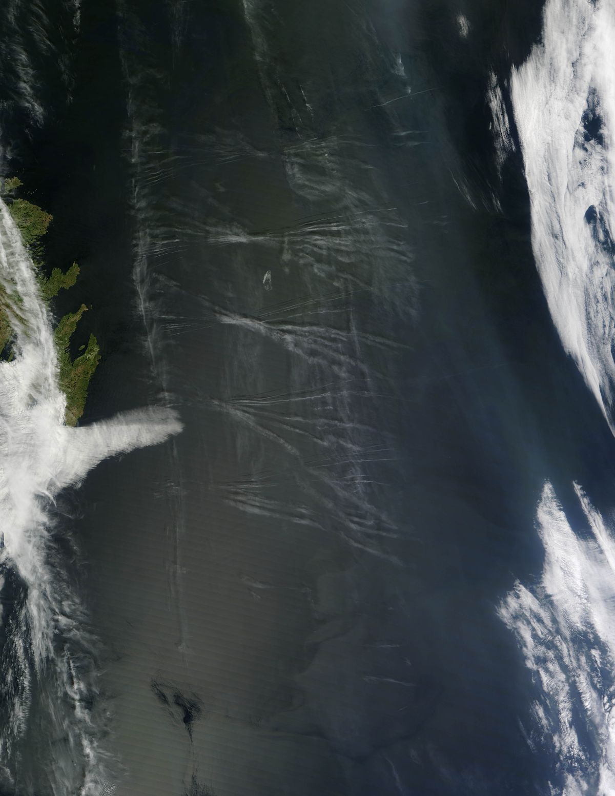
NASA's Terra satellite snapped two images of aircraft contrails spreading in the sky above Newfoundland, Canada, on May 26 over the course of two hours.
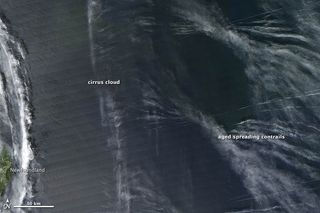
The contrails are arrayed in an X-shaped pattern that was likely caused by commercial aircraft flying west. A cirrus cloud, most likely of natural origin, is visible to the left of both images. Young contrails with distinct edges are visible in the older image, but two hours later have grown wispier and spread outward as winds have blown them south and east.
The temperature and humidity of the air affects how long contrails last. When air is dry, they remain visible for mere seconds or minutes. But when the air is humid, as was the case here, contrails can be long-lived and spread outward until they become difficult to distinguish from naturally-occurring cirrus clouds. Satellites have observed clusters of contrails lasting as long as 14 hours, though most remain visible for four to six hours, according to a NASA statement.
Long-lived, spreading contrails are of great interest to climate scientists because a contrail in an otherwise clear sky reduces the amount of solar radiation that reaches Earth's surface, while increasing the amount of infrared radiation (which is released by the planet) absorbed by the atmosphere. In the first case, the effect would tend to cool the Earth's surface, while in the second, it would tend to warm it.
These opposing effects make it difficult for scientists to pin down the exact effect contrails have on climate. "Overall, contrails create additional cirrus cloud cover," Patrick Minnis, a senior scientist at NASA's Langley Research Center, said in a statement. "Current estimates indicate that contrails have a small warming effect, but the extent of the additional coverage and the amount of warming remain quite uncertain."
In 2004, Minnis published a study of surface observations that found cirrus cloud cover had increased by 3 percent between 1971 and 1995 over the United States, the most recent data available.
The two new pictures were taken by the Terra satellite's Moderate Resolution Imaging Spectroradiometer, used for photographing clouds and atmospheric features.
Sign up for the Live Science daily newsletter now
Get the world’s most fascinating discoveries delivered straight to your inbox.


