NASA Satellite Spots Madeira Wildfires
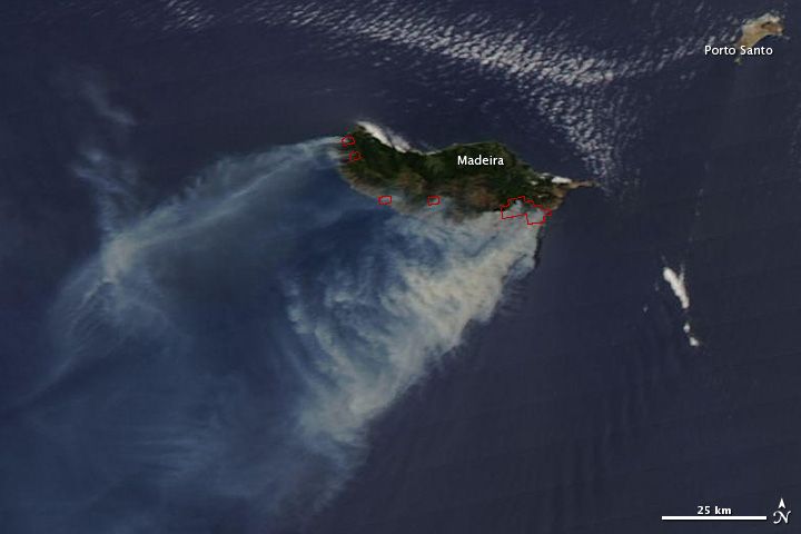
Wildfires broke out earlier this week on the island of Madeira, a Portuguese archipelago off the coast of Morocco, and were captured in an image by NASA's Aqua satellite yesterday (July 19).
The wildfires erupted on July 18 and as of today they have spread to the nearby island of Porto Santo, according to news reports and a NASA statement. NASA said that firefighters from the Portuguese mainland were struggling against high winds in their battle to control the blazes.
The Moderate Resolution Imaging Spectroradiometer (MODIS) on Aqua took the image of the wildfires, in which the thick smoke from the blazes can be seen blowing away to the southwest. The red outlines in the image mark areas of high surface temperatures, which are associated with the wildfires.
Madeira, where the eponymous wine is made, has been suffering from a drought, which can create prime wildfire conditions and exacerbate wildfires when they start.
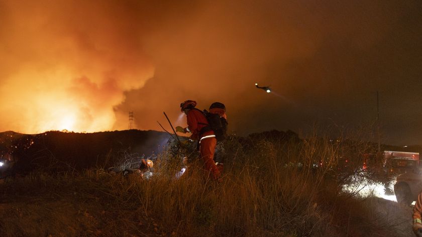
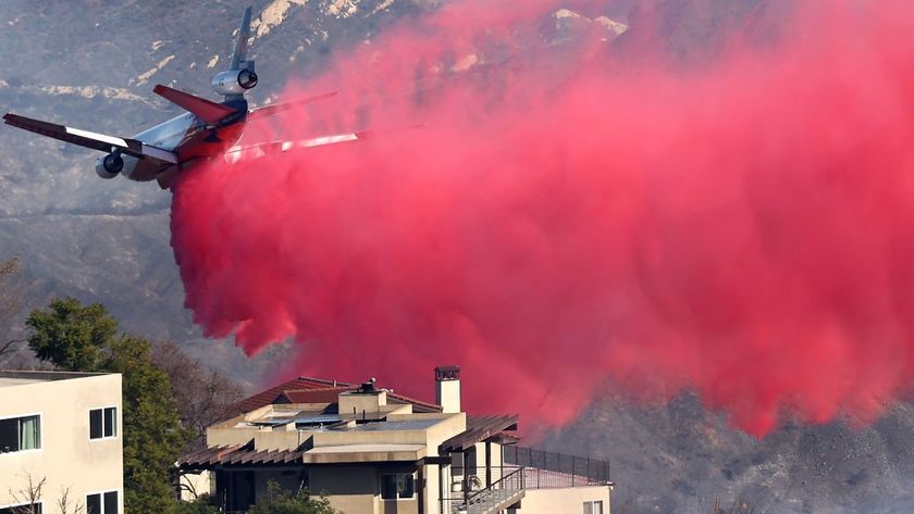
Wildfires have also been burning in Siberia and the American West this summer.
Sign up for the Live Science daily newsletter now
Get the world’s most fascinating discoveries delivered straight to your inbox.

