How Does GPS Work?
Historically, knowing where you are on the surface of the Earth has been a very difficult problem to solve. Finding an accurate position without landmarks has been a matter of dead-reckoning, astral navigation and complex calculations of longitude and latitude. But, with the introduction of GPS (Global Positioning System) and cheap consumer receiver chips in the past few decades, knowing exactly where you are has become a simple fact of life. GPS has also revolutionized the shipping and airline industry, military operations and science.
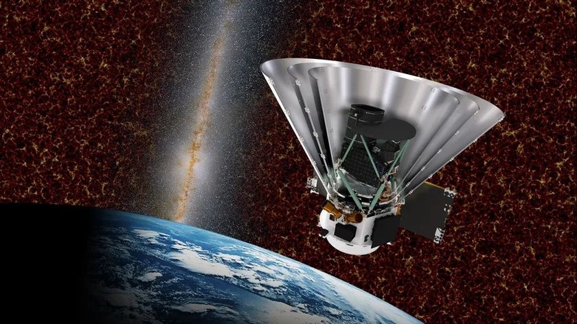
GPS relies on a network of satellites that orbit Earth at a distance of 16,500 miles. There are dozens of such satellites in orbit. Each satellite knows where it is and sends out a constant signal which is picked up by receivers in smartphones, sat-navs and other GPS devices. The signal consists of the orbital position of the satellite (known as the ephemeris), the position and condition of the other satellites in the network (the almanac) and the time the message was transmitted.
If you use a GPS device, you may have noticed that they can take a long time to get an accurate reading, especially in cities. One reason for this is that the signal has a verylow bandwidth (50 bps) and is vulnerable to interference from buildings and other obstructions.
A good GPS-determined position typically requires a signal from at least four satellites and needs very accurate timing. When the receiver unit picks up a signal, it works out how long the signal took to reach it, and because radio waves always travel at the same speed, it can use that interval to calculate the distance from itself to the satellite — the pseudorange. With one satellite, then, the receiver knows that its position is somewhere on the surface of an imaginary sphere with the satellite in the middle. Each additional satellite signal allows it to calculate other spheres. The second sphere intersects with the first — imagine squashing two bubbles together, the "wall" between them forms a circle, so the position has been fixed to somewhere within that circle.
A third sphere intersects with that circle at only two points, one of which is the location of the receiver. The other point of intersection is usually somewhere in space, thousands of miles from the earth, and can be ignored (unless you're an astronaut). The fourth satellite is used to improve the accuracy of the timing; very small mistakes in the time, even billionths of a second, can cause positioning errors of hundreds of meters.
GPS was designed and is controlled by the U.S. Department of Defense, but there are alternatives in development, including the European Galileo program. When it was first made available for public use, GPS was only accurate to within 100 meters or so because errors were deliberately introduced into the ephemeris and the almanac. Since 2000, however, this Selective Availability has been turned off, although it can be reactivated for military purposes.
The GPS system is under constant development and new satellites are regularly put into orbit. It has become an essential part of 21st century life.
Sign up for the Live Science daily newsletter now
Get the world’s most fascinating discoveries delivered straight to your inbox.

