Amazing Satellite Photos Show Earth's Plant Life from Space
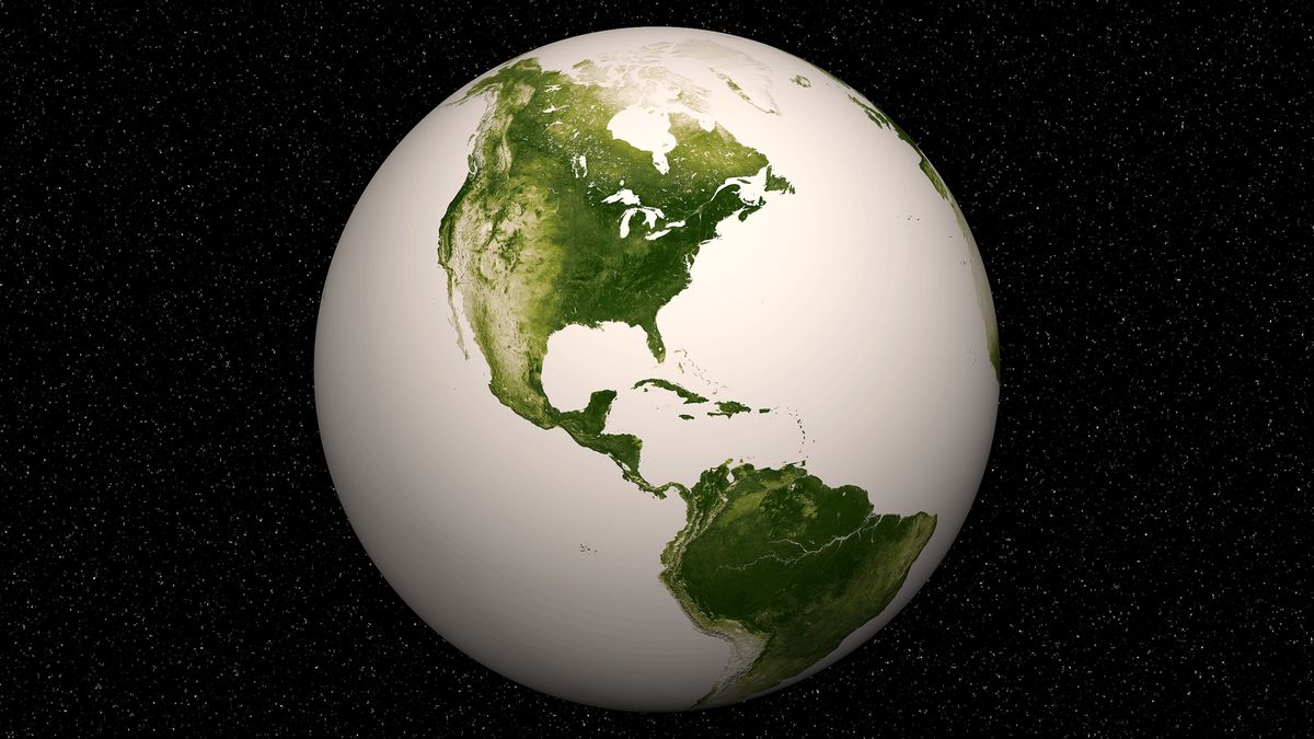
Scienitsts have pieced together a year's worth of photos from the powerful Earth-watching Suomi NPP satellite to create the most detailed look ever of our world's plant life as seen from space.
The amazing maps of Earth's vegetation highlight areas where plant life is the densest and barest, while leaving out the 75 percent of the planet that is covered in blue oceans and seas.
The darkest green places represent lush vegetation and the pale sections show terrain where plant life is sparse due to deserts, rocks, snow or urban sprawl.
The Suomi NPP satellite, short for National Polar-orbiting Partnership, is a minivan-sized spacecraft perched 512 miles (824 kilometers) above Earth. The $1.5 billion satellite is designed to collect data for short-term weather forecasts and long-term climate models as part of a partnership between NASA and the National Oceanic and Atmospheric Administration (NOAA).
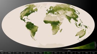
Suomi NPP's new images are based on data collected from April 2012 to April 2013 using the satellites Visible-Infrared Imager/Radiometer Suite, or VIIRS. The instrument is designed to detect changes in the reflection of light on Earth, which can be a good indicator of the health of plants on the ground.
Measurements of how vegetation changes over time can influence weather and ecological forecasting, NOAA officials said. Minute, pixel-sized changes can serve as an early warning for drought, fire conditions or potential malaria outbreaks, for example.
The data will be incorporated into the Normalized Difference Vegetation Index (NDVI), a measure of plant growth, vegetation cover and biomass based on light reflected. High values on the NDVI indicate lush, healthy vegetation, while low values represent sparse or stressed-out vegetation that may be experiencing drought, according to a NASA statement.
Sign up for the Live Science daily newsletter now
Get the world’s most fascinating discoveries delivered straight to your inbox.
This story was provided by SPACE.com, a sister site to LiveScience. Follow SPACE.com on Twitter @Spacedotcom. We're also on Facebook and Google+. Original article on SPACE.com.


