What Does Busy Start Mean to Hurricane Season Predictions?
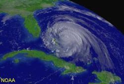
The record fast start to this year's hurricane season won't alter meteorologists' earlier prediction of a fairly active season with 12 to 15 named storms, forecasters say.
In fact, the brisk beginning doesn't mean much at all. Many active starts lead to so-so summers and ho-hum falls.
"An early start is not predictive of the activity for the rest of the year," said Colin McAdie, a meteorologist at National Hurricane Center.
Quick start
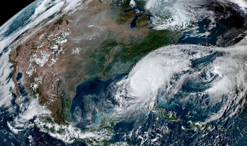
When the third and fourth tropical storms of this Atlantic Basin season formed yesterday, July 5, it became the first time since reliable records have been kept that so many storms developed so soon. The previous record was four storms by July 7, in 1959 -- a year that ended up with 11 tropical storms in total, which is only slightly above the long-term average of 10.6.
The highest number of tropical storms in the Atlantic was 19 in 1995, and the least was 4 in 1983. From 1944 to 1996, the average arrival date for the fourth named system in the Atlantic is Aug. 30.
Hurricane season in the Atlantic Basin, which includes the Caribbean and the Gulf of Mexico, officially runs June 1 to Nov. 30.
Sign up for the Live Science daily newsletter now
Get the world’s most fascinating discoveries delivered straight to your inbox.
This year, tropical storms Arlene and Bret formed on June 8 and June 28, respectively. Since 1851, there has only been 12 years where two or more tropical storms have formed in the month of June.
"Usually the bulk of activity is in August through October," said Chris Landsea of NOAA's Atlantic Oceanographic & Meteorological Laboratory. "June and July are typically not good indicators for the rest of the season."
In fact, an early start is sometimes followed by a weaker season on the whole, Landsea told LiveScience. In 1997, there were five tropical systems by the first of August, but the remaining season only had three.
This may have something to do with where these systems form.
Location matters
Storms in the early part of the year typically arise out of the subtropics -- between the latitudes 20N and 35N. Storms later in the year usually start farther south in the deep tropics -- between 10N and 20N.
"When conditions are conducive for tropical storms in the subtropics, they are usually unfavorable in the deep tropics, and vice versa," Landsea said.
An early start in the subtropics -- the argument goes -- would imply less conducive conditions in the deep tropics, and therefore less tropical storms for the peak of the season from August to October.
Although this may explain the activity of certain years, it is unlikely to apply to this year -- seeing as tropical storm Dennis actually formed in the deep tropics.
"An early year storm from the deep tropics is a tip off for a continually busy season," said Landsea.
Both Landsea and McAdie think that 2005 is still on target to be quite active.
Late starts
For comparison, the 2004 hurricane season -- which was a particularly bad year for Florida -- was slow to get going. Hurricane Alex did not show up until July 31, and the fourth named storm, Hurricane Danielle, appeared on Aug. 13.
"Last year was a very late start," said McAdie "And back then, people were wondering what does a late start mean."
The answer: not much. Like early starts, late starts don't reveal what kind of season to expect.
The Names & Numbers Deadliest, costliest, busiest months, worst states, plus this year's storm names
How & Where Hurricanes Form The science of monster storms.
Busy 2005 Season Predicted The official season forecast from the National Hurricane Center.
The Deadly 2004 Season Officials say lessons learned will save lives in the future.
Rare One-Two Punch A pair of tropical storms are imaged at once.
