Calm Before the Storm? What August Hurricane Lull Means

Get the world’s most fascinating discoveries delivered straight to your inbox.
You are now subscribed
Your newsletter sign-up was successful
Want to add more newsletters?
Join the club
Get full access to premium articles, exclusive features and a growing list of member rewards.
Calls for an active 2013 Atlantic hurricane season, with six to nine hurricanes, have been met with silence by Mother Nature so far.
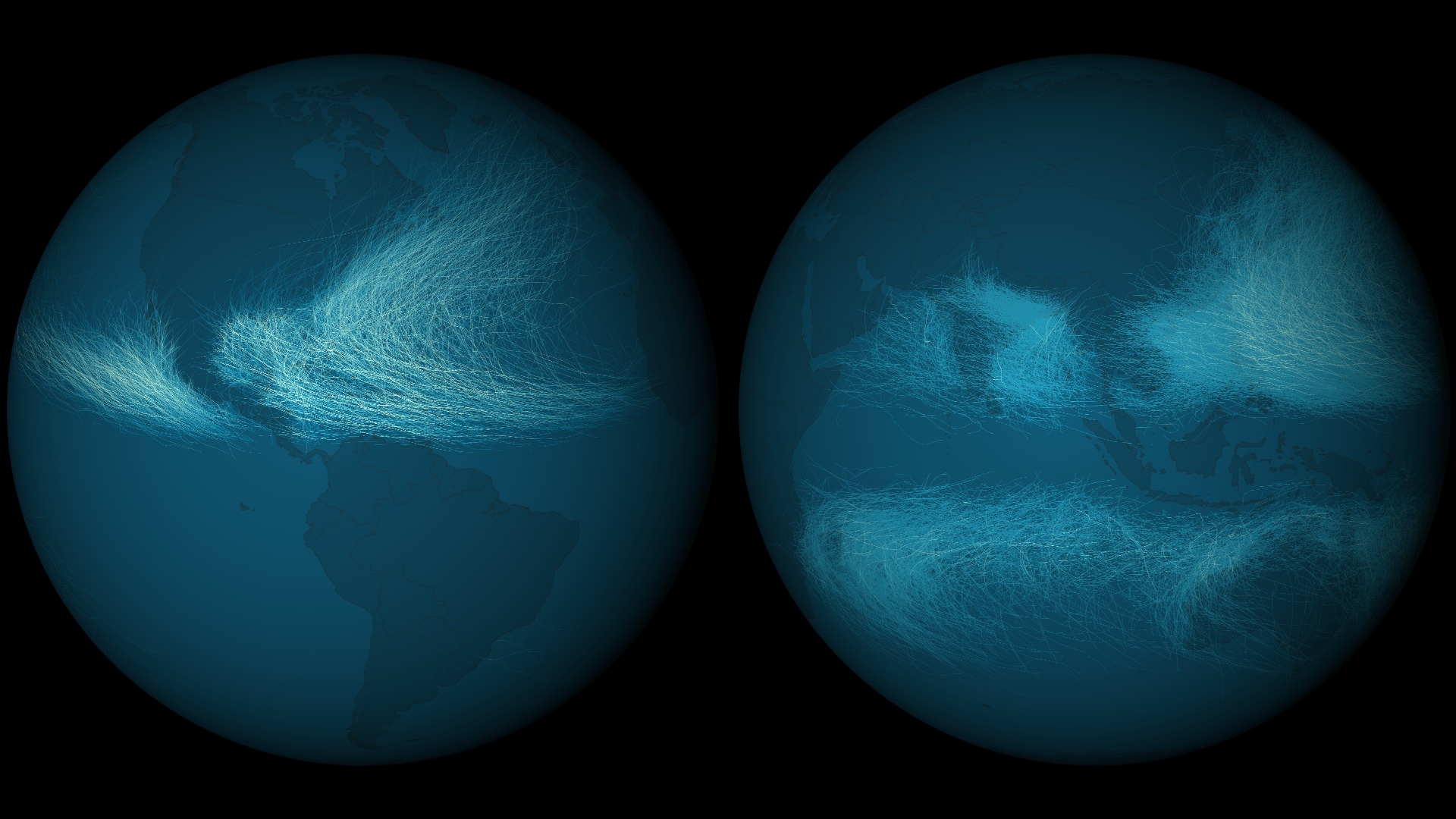
Deadly typhoons pounded the Pacific Rim this month, but the Atlantic basin has been hurricane-free through late August. Six named tropical storms have appeared in the Atlantic since the beginning of hurricane season on June 1, but none have approached hurricane strength.
Yet even though no hurricane has menaced the Atlantic, the 2013 hurricane season is on track for tropical storms. In an average year, the fifth named storm does not show up until Aug. 31, but it did so this year on Aug. 15 with Tropical Storm Erin, according to Dennis Feltgen, a meteorologist and spokesman for the National Hurricane Center in Miami. Tropical storms have wind speeds between 39 to 73 mph (62 to 117 km/h). Once the winds reach a sustained 74 mph (119 km/h), the storm is classified as a hurricane.
Article continues belowParched and pinched out
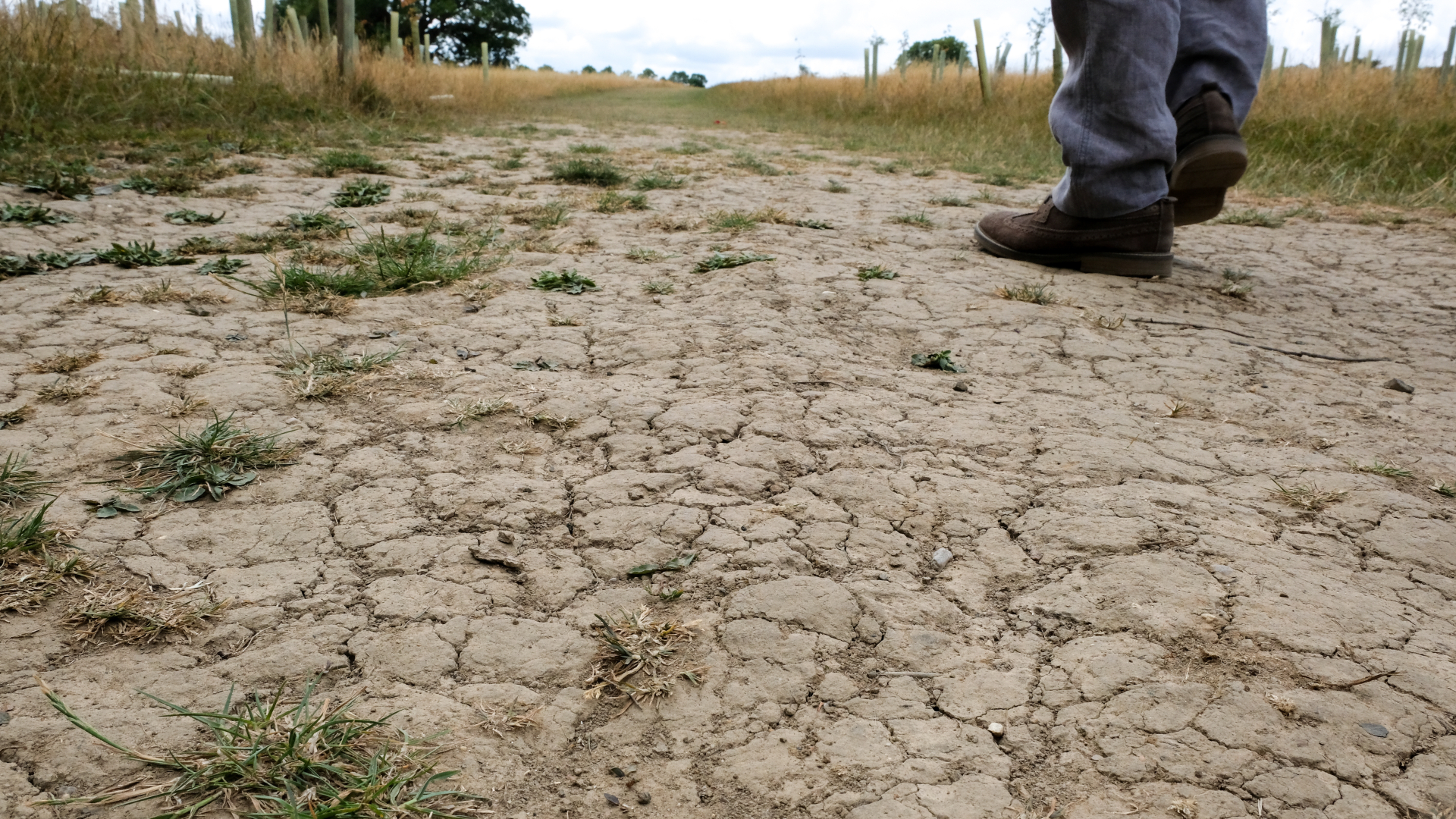
Dry, dusty weather conditions in the Atlantic have crippled tropical depressions and storms trying to swirl up into stronger weather patterns, Feltgen said in an email interview. Budding tropical storms such as Chantal, Dorian and Erin dissipated when they ran into wind shear and dry air, Feltgen said. Their remnants never impacted the United States, but did cause flooding in Haiti and the Dominican Republic, along with other island nations.
Tropical storms and hurricanes grow bigger by feeding off warm, rising, moist air. But the Atlantic's hurricane breeding ground has been dominated by dry, sinking air for much of the summer. Dust blowing west from the Sahara Desert may also have choked off storms forming offshore of Africa, though scientists debate the effects of the dusty air, called the Saharan Air Layer. NASA is currently studying the effects of the Saharan Air Layer on tropical storm formation with unmanned drones. [Storm Season! How, When & Where Hurricanes Form]
But though this August has been a quiet month for storms compared with previous years, it may only be the calm before the storm.
Get the world’s most fascinating discoveries delivered straight to your inbox.
"It is a mistake to believe that this is the way the remainder of the season will play out," Feltgen told LiveScience. "We have more than half the season to go and are now entering the peak of the hurricane season (mid-August through late October). September will certainly be more active," he said. The Atlantic hurricane season officially lasts until Nov. 30, though storms have been known to form after that time, as well as before the official June 1 start date.
By the numbers
Feltgen said it's not unusual for the first hurricane of the season to arrive in late August. With records going back to 1851, there are 34 other years when the first hurricane materialized after Aug. 25. And in 25 of those years, it was on or after Sept. 1.
The tardiest hurricane on record appeared on Oct. 8, 1905, hitting Haiti before weakening to a tropical storm and meandering north, offshore of the U.S. Atlantic Coast.
More recently, Hurricane Chantal started the season off with a bang on Sept. 9, 2001, followed by 15 named storms, including nine hurricanes and four major hurricanes (Category 3 or higher).
The official 2013 season forecast from the National Oceanic and Atmospheric Administration (NOAA), updated Aug. 8, calls for an above-average hurricane season, with 13 to 29 named storms, a designation that includes tropical storms and hurricanes.
But regardless of the exact number of storms that form and when, preparation is always key, Feltgen emphasized.
"In terms of being prepared, the overall numbers do not matter," Feltgen said. "It only takes one storm hitting your community to make it a very bad year for you. No one should let their guard down."
Email Becky Oskin or follow her @beckyoskin. Follow us @livescience, Facebook & Google+. Original article on LiveScience.

 Live Science Plus


