Fall's Weird Weather Rolls in As Feds Scramble
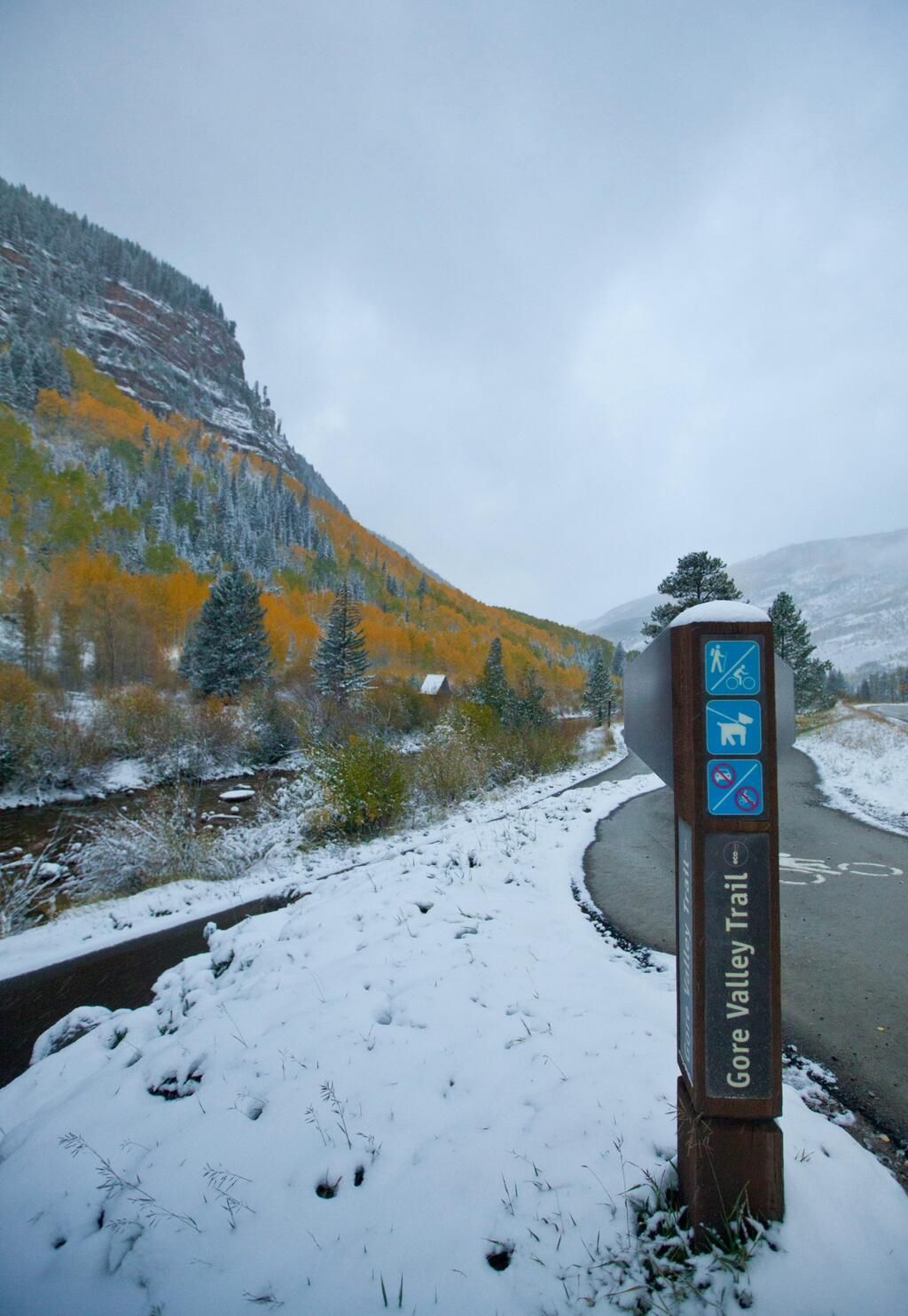
A tropical storm menaces the Gulf Coast, tornadoes threaten Iowa, snow blankets Wyoming and Colorado, and strong winds may spark fires in California.
The sudden surge in unsettled weather has the National Weather Service (NWS) scrambling because of the government shutdown. The NWS — a subdivision of the National Oceanic and Atmospheric Administration (NOAA), which tracks the nation's weather — kept more than 3,900 employees working (all unpaid) to forecast the weather during the shutdown. But to handle the uptick in hazards, the agency has called back additional employees from furlough.
Tropical Storm Karen
The biggest storm risk facing the country right now is from Tropical Storm Karen. The tropical storm threat brought the NWS' Twitter account back online today (Oct. 4), though the lead NOAA account remains dark at the time of this report. All nonessential NOAA and NWS websites and social media accounts were shuttered on Oct. 1. However, local NWS offices stayed active on social media throughout the week to keep people informed about possible local weather threats. [15 Weirdest Effects of Government Shutdown]
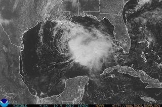
This morning, two NOAA reconnaissance planes gathered new data to update the storm forecast, the NWS' Tallahassee, Fla., office said on Twitter.
Swirling about 300 miles (480 kilometers) south of New Orleans, Karen is predicted to make landfall early Saturday night near the eastern tip of Louisiana. New Orleans is under a tropical-storm watch, while the coastline from Biloxi, Miss., to Pensacola, Fla., has a hurricane watch in effect. The difference in the two warnings is based on the predicted wind speed. A tropical-storm warning covers winds from 39 to 73 mph (63 to 117 km/h), and a hurricane watch covers those from 74 to 110 mph (119 to 177 km/h). A warning means that the conditions covered are expected in the area within 36 hours, while a watch means they are possible in the area within 48 hours.
But local officials are more concerned about the risk of storm-surge flooding than wind damage. Current NWS forecast models say Karen will not intensify into a hurricane. But the tropical storm could still cause severe coastal and inland flooding. Gulf Shores, Ala., has closed its beaches and posted double-red-flag warnings in advance of the storm because of the risk of rip currents and flooding, meaning it's illegal to enter the water.
Sign up for the Live Science daily newsletter now
Get the world’s most fascinating discoveries delivered straight to your inbox.
Fall's unsettled weather
As Hurricane Sandy showed last year, Atlantic Ocean tropical storms can continue well into fall. (The official hurricane season doesn't end until Nov. 30). But on land, fall is a transitional season that brings the first cold, dry air masses from the Arctic down into the lower latitudes. The transition from the warm, moist air of summer to colder, drier air of winter can mean wildly different weather across the country. (For some parts of the West, the switch works the other way: Winter brings moisture and rain after a dry summer.)
For example, north of the Gulf States, thunderstorms across the Plains, which occur when these types of air masses over the country collide, mean a moderate risk of tornadoes today across Iowa.
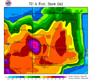
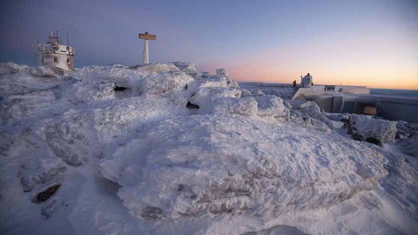
And winterlike weather is sending Colorado, Wyoming and South Dakota into a deep freeze. The storm, building on a push of cold air from Canada, will drop up to 18 inches (46 centimeters) of snow in northeastern Colorado near the Wyoming border, north of Interstate 70, according to the NWS' Denver office. A rain and snow mix is falling in Denver today.
In Southern California, fierce winds called the Santa Anas are racing out of the mountains. This annual fall event means a critical fire danger today and Saturday (Oct. 5) for Los Angeles, south to the Mexico border, the NWS said. Fire warnings were also issued around Sacramento and parts of San Francisco, as winds gust in northern California as well.
Email Becky Oskin or follow her @beckyoskin. Follow us @livescience, Facebook & Google+. Original article on LiveScience.

