5 Things Hurricane Sandy Changed for Good
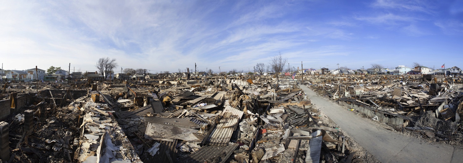
Some people and places may never be the same since Hurricane Sandy hit the northern Atlantic Coast on Oct. 29, 2012. The lingering effects include lives lost and irreplaceable mementos. Barrier islands were changed forever. But the vulnerabilities revealed by Superstorm Sandy could also help make the East Coast better prepared for the next big hurricane.
Here are five ways Hurricane Sandy totally changed the East Coast:
1. Hurricane warnings revamped
Superstorm Sandy was a "post-tropical cyclone" — not a hurricane — when it pummeled the northern Atlantic Coast. This meant responsibility for storm warnings had shifted from the National Hurricane Center to the National Weather Service and its fleet of local weather offices. Instead of one unified message, there was a flurry of individual warnings from the weather offices, resulting in widespread confusion about the nature of the threat from Sandy, according to an assessment by the University of Pennsylvania published in November 2012.
Now, the National Oceanic and Atmospheric Administration (NOAA), which oversees both agencies, has changed its policy. Even if a massive storm like Sandy drops below the tropical-storm category, the National Hurricane Center can still issue storm watches and warnings.
2. Barrier islands shift
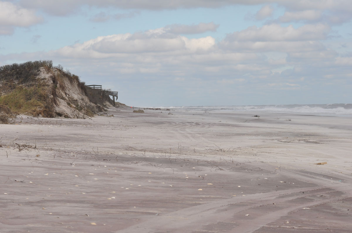
Barrier islands are the long, thin offshore islands that help protect the mainland from a powerful beating by storms. Superstorm Sandy pummeled barrier islands in New York and New Jersey. New York's Fire Island lost more than half of its beach and dune sand. In Mantoloking, N.J. (a borough of Ocean County, N.J.), almost the entire dune vanished from the borough's barrier island. Waves also breached, or cut through, islands in both states.
Sign up for the Live Science daily newsletter now
Get the world’s most fascinating discoveries delivered straight to your inbox.
3. Flood evacuation zones
Drowning poses the highest risk of death during hurricanes. New evacuation zones in New York City and new storm-surge maps for the Atlantic and Gulf coasts will help save lives in the next storm.
In New York City, the worst damage came from Sandy's storm surge. The flooding went beyond the city's mandatory evacuation zone. The new maps add 600,000 more people to possible evacuation zones and divide residents into six zones, for a more detailed risk evaluation. [Storm Surge Video: Deadliest Part of a Hurricane]
In July 2013, the U.S. Geological Survey released a new assessment of coastal vulnerability to storm-surge flooding and erosion from hurricanes.
4.New York gets phone friendly
Immediately after Hurricane Sandy, New Yorkers who still had power snaked extension cords and power strips out their doors and windows so strangers could charge their phones. A lifeline in the days following the storm, these impromptu charging stations are now a permanent feature. AT&T began installing solar-powered charging stations in June 2013 at 25 parks, beaches and other popular outdoor spaces throughout the five boroughs.
5. Lost homes
Some people will never move back home — their houses were on sand washed inland or taken out to sea. Others have accepted federally funded buyouts, including 300 homeowners on New York's Staten Island who have agreed to a permanent move. They will sell their homes, which will be razed and converted into a park or back to marshland.
Editor's note: The location of Mantoloking in Ocean County, N.J., not Ocean City, was corrected.
Email Becky Oskin or follow her @beckyoskin. Follow us @livescience, Facebook & Google+. Original article on LiveScience.


