
Agadir Canyon: the Underwater 'Grand Canyon'
Agadir Canyon
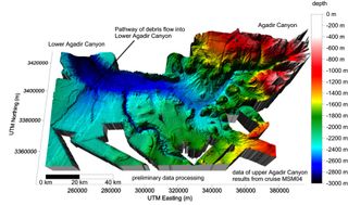
Researchers just completed a A five-week expedition to map and sample a giant underwater canyon off the northwest coast of Morocco. The team discovered that Agadir Canyon produced the world's largest sediment flow about 60,000 years ago, depositing up to 38 cubic miles (160 cubic km) of sludge during a single catastrophic landslide. Above: A 3D seafloor bathymetry map of upper Agadir Canyon.
3D perspective image of Agadir Canyon
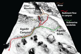
3D perspective image of Agadir Canyon, looking upslope towards Morocco and the Atlas Mountains. The red arrow shows the pathway of flows running along the canyon floor and is 450 km long.
Sampling the Seafloor
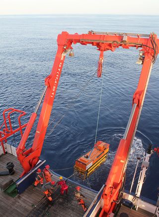
The team used the National Oceanography Centre's towed ocean bottom instrument to take samples of the sediment and sealife.
Sediment Core
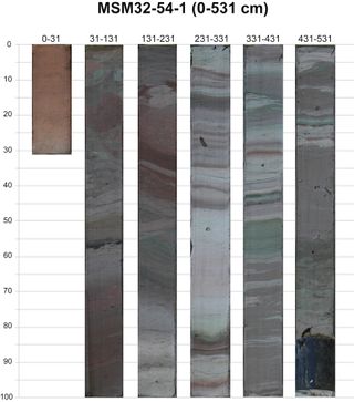
A sediment core from lower Agadir Canyon, showing colorful landslide deposits transported from further upslope. The numbers are centimeters below seafloor, i.e. the core penetrated to 5.3 meters.
Coral in Box Core
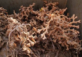
The researchers took box cores of the seafloor and recovered live cold-water corals from about 600 m water depth.
Coral in Box Core
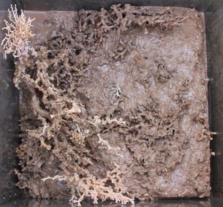
Another box core with live coral.
Sign up for the Live Science daily newsletter now
Get the world’s most fascinating discoveries delivered straight to your inbox.
