In Images: Polar Bears on Google Street View
News
By
LiveScience Staff
published
The mapping process
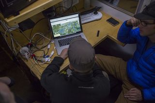
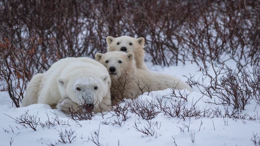
The Street View project lets viewers explore the tundra and see the polar bear migration.
Worth protecting
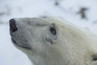
The leaders of the polar bear mapping project hope that making the Google images available to anyone with an Internet connection will give the public a chance to see these charismatic creatures in the wild, and communicate the environmental threats the bears face.
Hopes for the future
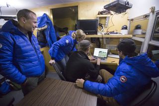
PBI is also interested in using Street View's images for scientific research. Google trained PBI to use the trekker camera, and the nonprofit took a second round of images after the Hudson Bay froze over.
Off into the sunset
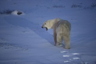
The effects of climate change pose serious threats to the survival of this charismatic, cute and curious creature.
Sign up for the Live Science daily newsletter now
Get the world’s most fascinating discoveries delivered straight to your inbox.
For the science geek in everyone, Live Science offers a fascinating window into the natural and technological world, delivering comprehensive and compelling news and analysis on everything from dinosaur discoveries, archaeological finds and amazing animals to health, innovation and wearable technology. We aim to empower and inspire our readers with the tools needed to understand the world and appreciate its everyday awe.
Most Popular
LATEST ARTICLES

