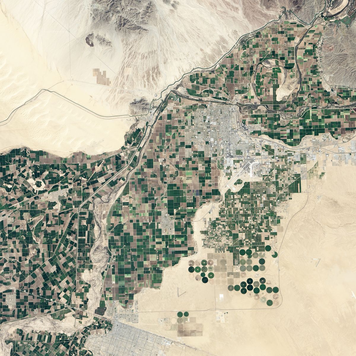
Barren Colorado Desert Set for Flooding (Photo)

The Colorado River delta, which once flourished with lagoons, has become a strikingly barren landscape. Now, researchers are trying to restore the delta to a semblance of its former glory.
A group of researchers and water managers released water at a diversion dam on the lower Colorado River last month, hoping to revitalize the delta.
On March 8, 2014, NASA's Operational Land Imager (OLI) on the Landsat 8 satellite snapped a photo of the Morelos Dam on the Arizona-Mexico border. The picture was taken just a couple of weeks before the flood gates at Morelos Dam — a diversion dam that sends water to croplands — were opened and sent a pulse of water toward the delta.
The researchers predict that the "pulse flow" from the dam will imitate spring floods that were once common in the area. The scientists hope this injection of moisture will make the region's flora lush, just as it did in response to infrequent floods in the 1990s during the wet El Niño years.
"What we're trying to do here is a really big deal," Edward Glenn, an environmental scientist at the University of Arizona, told NASA's Earth Observatory. "Nobody has done an international restoration project using a pulse flow on such a large scale before."
Because the United States and Mexico draw significant amounts of water from the Colorado River, the final stretch of the river has disappeared, and its lower stretches only flow after rainstorms.
Spring floods used to be common but are now extremely rare. Consequently, willow and cottonwood forests that used to be prevalent along the river's banks and in its wetlands are now becoming scarce, as are birds and other animals.
Sign up for the Live Science daily newsletter now
Get the world’s most fascinating discoveries delivered straight to your inbox.
Follow Agata Blaszczak-Boxe on Twitter. Follow Our Amazing Planet @OAPlanet, Facebook and Google+. Original article at Live Science's Our Amazing Planet.


