In Photos: World's Glaciers Are Now Mapped (All 200,000)
Mapping Glaciers
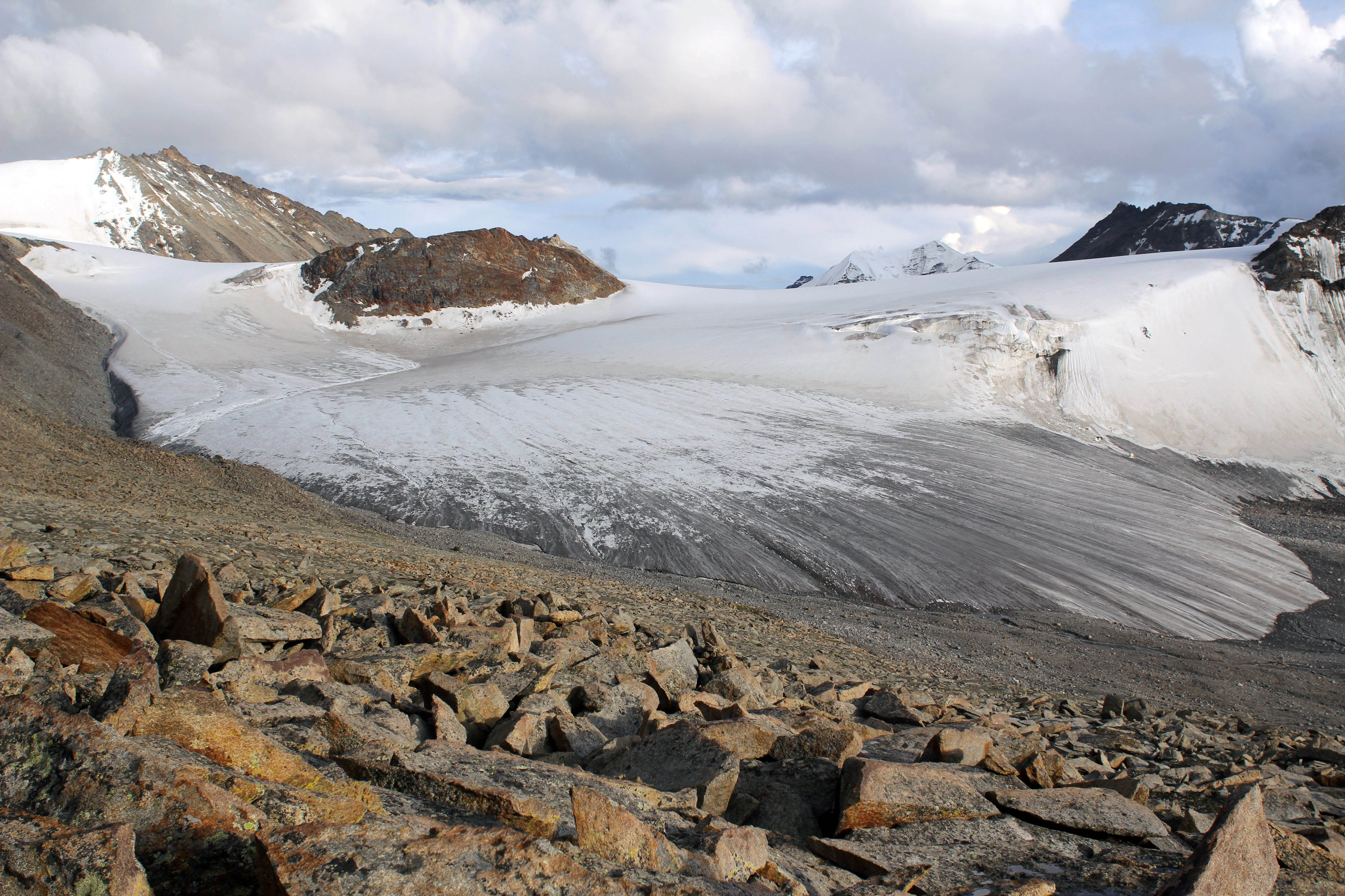
This is a photo of Zhadang Glacier in Tibet, China. Researchers have now mapped all of the world's glaciers, which will allow them to better study the icy rivers, as well as estimate the effects of climate change on glaciers.
Extensive Catalogue
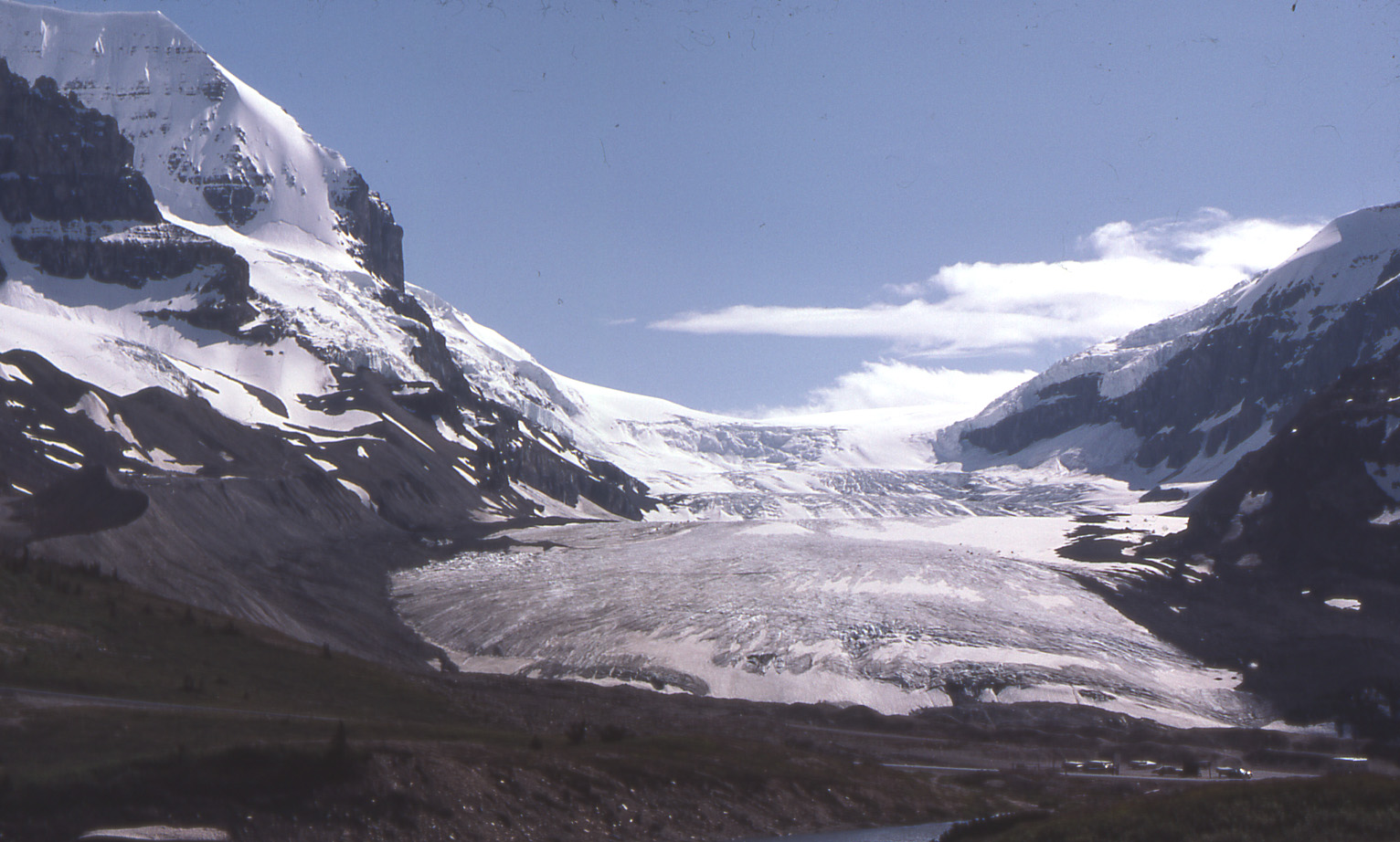
This is an image of the Athabasca Glacier in the Canadian Rockies. The researchers catalogued nearly 200,000 glaciers, although the exact number of known glaciers changes frequently because some small glaciers disappear, and large glaciers get fragmented, the researchers said. The inventory includes information about the location, extent and volume of every glacier.
Randolph Glacier Inventory
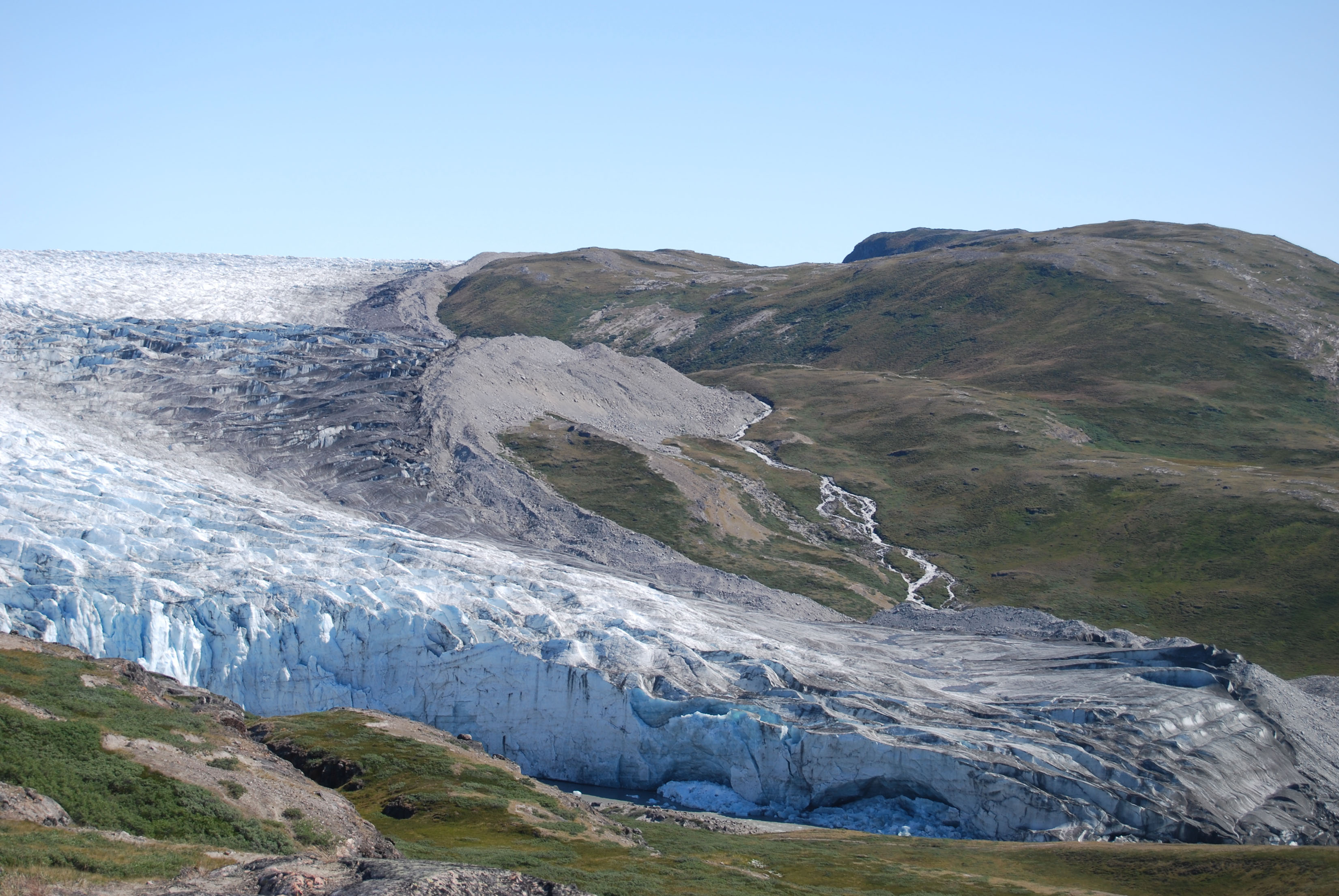
This is a photo of Russell Glacier in Greenland. The researchers named the inventory the Randolph Glacier Inventory (RGI), after one of the research group’s meeting places in New Hampshire.
Satellite Data
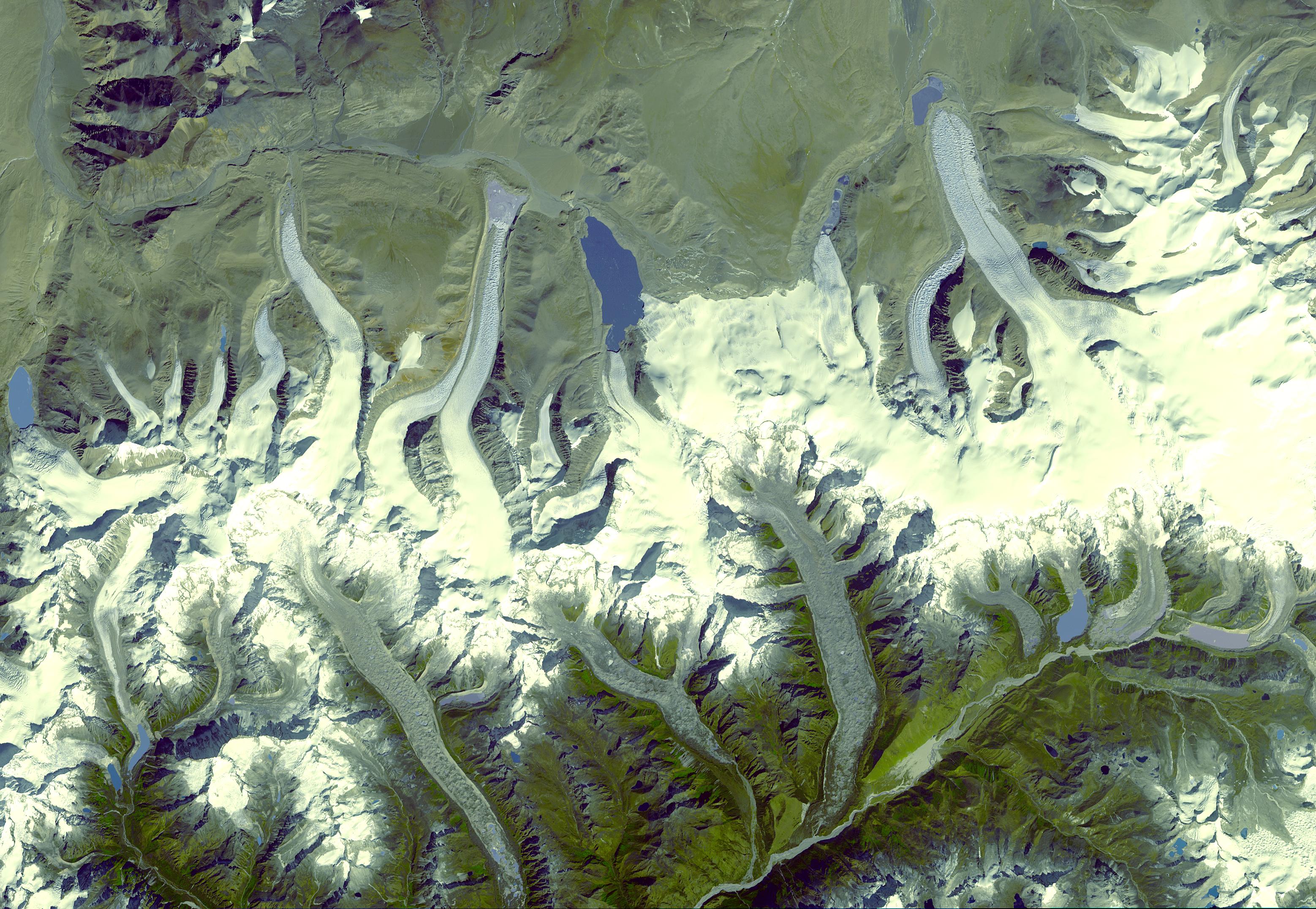
This image was captured by a NASA satellite in the Bhutan Himalayas.More than 70 experts from more than 18 countries worked on the project, using satellite data on each glacier.
Computer-Readable Outlines
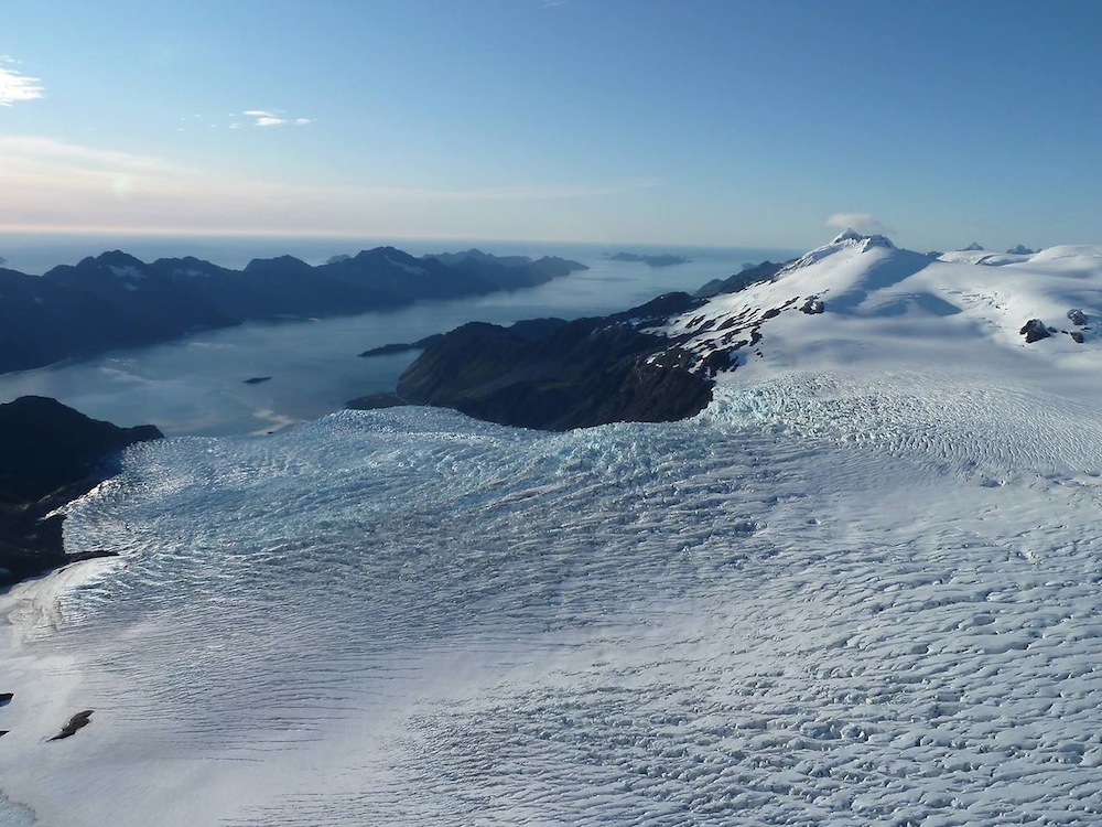
The photo shows glaciers in Alaska's Kenai Fjords National Park. All glaciers listed in the inventory have computer-readable outlines, which helps scientists to develop programs to understand how exactly glaciers interact with climate change."You can model every glacier," study author Graham Cogley, a physical geographer at Trent University in Canada, told Live Science.
Sign up for the Live Science daily newsletter now
Get the world’s most fascinating discoveries delivered straight to your inbox.
