In Photos: Explore the 'Dr. Seuss' World of Bryce Canyon
Geological shapes
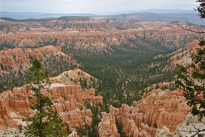
Bryce Canyon, located in the south-central region of Utah, is home to some of the most distinctive geological shapes found anywhere in North America. Located on the northern edge of the Colorado Plateau, this unique landscape, with its Dr. Seuss-like appearance, is proof of the powerful, destructive erosional force of water.
Cretaceous beginnings
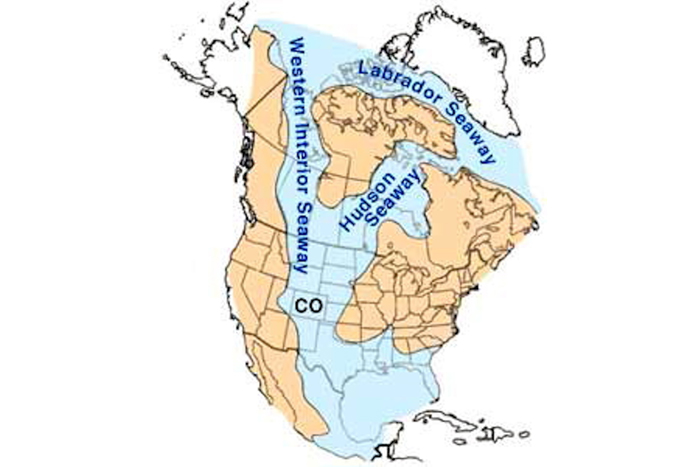
The geological events that created this unique landscape began some 144 million years ago during the Cretaceous Period. Some 60 million years ago, the great Western Interior Seaway flowed into this land, resulting in the repeated depositing of sediments as the ocean waters retreated, then again covering the land over and over again. When the seaway finally withdrew, sediments thousands of feet thick were left behind.
Red rocks
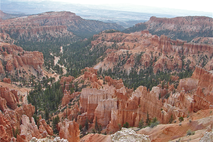
During the Tertiary Period some 66 million to 40 million years ago, the forces of erosion began to form shallow, broad basins with many lakes and streams lined with iron-rich, limy sediments. The sediments that gathered in these shallow reservoirs became the reddish rocks known in the Bryce Canyon area as the Claron Foundation.
Earth's forces
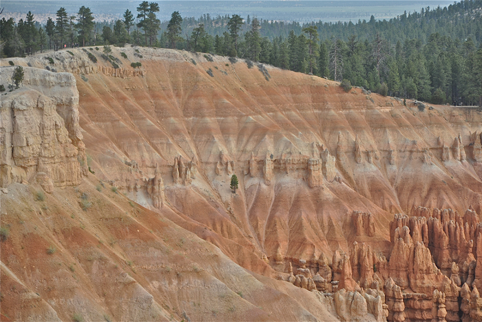
Some 10 million years ago, powerful forces deep within the Earth moved two massive blocks of stone known today as the Table Cliff and Paunsaugunt plateaus. Between these two plateaus the Paria Valley was formed. The Paria River and its many tributaries cut and carved the steep slopes found on the edge of the Paunsaugunt Plateau, creating the landscape found in Bryce Canyon today.
Frost-wedging
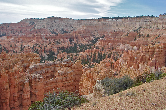
Bryce Canyon sees just 10 inches (25 centimeters) of rain, on average, every year. But at an elevation of 8,000 to 9,000 feet (2,440 to 2.740 meters), this land experiences over 200 days each year of daily temperatures above and below freezing. Water, ice and gravity are the key sculptors of Bryce Canyon. But here, it is the characteristic of water in the process known as "frost-wedging," which pries and shatters the rock apart, that is the major erosion tool rather than the more common effects of flowing water.
Hoodoos
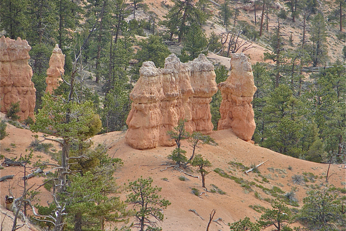
Mudstone, dolomite, siltstone and limestone are the four most common rocks found in the Claron Formation. Since "frost-wedging" erodes each of these rock types at a different rate, a unique geological formation known as hoodoos are formed.
Skinny spires
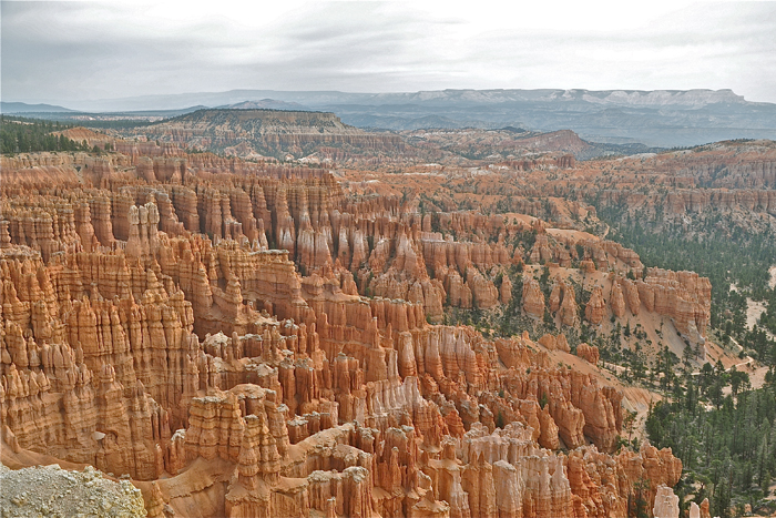
Nowhere in the world are there more hoodoos than the northern section of Bryce Canyon. Hoodoos are described as tall skinny spires of rock that form at the bottom of arid basins. Hoodoos differ from pinnacles in that they vary in thickness throughout the column while pinnacles have a uniform thickness that tapers from the bottom to the top. Hoodoos are often said to have a “totem pole” appearance.
Get the world’s most fascinating discoveries delivered straight to your inbox.
Hoodoo flavors
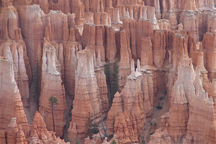
Hoodoos can vary from 5 to 150 feet (1.5 to 45 m) in height. Since they are formed in sedimentary rock, their shapes are determined by the erosional patterns of differing layers of soft and harder rock. In Bryce Canyon these ancient rock layers, from which hoodoos form, vary from siltstone, mudstone and predominately limestone.
Changing landscape
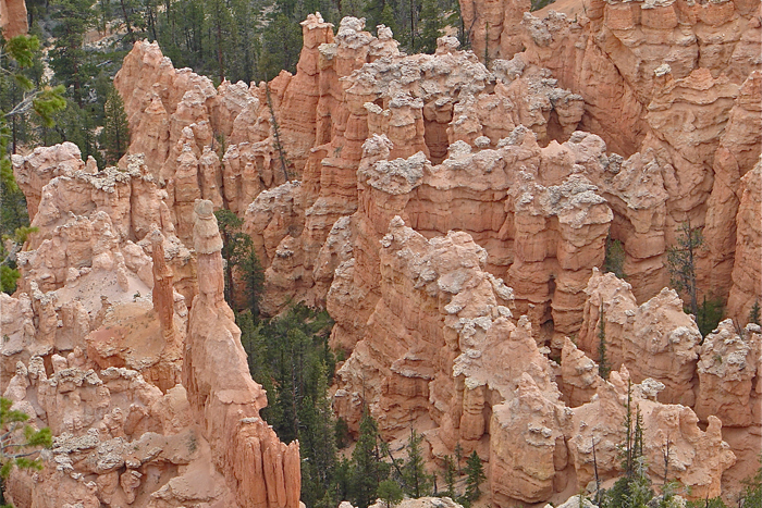
Hoodoos do not last for a long period of time. The same erosion processes that created them continue to work to make them collapse under the force of gravity. In Bryce Canyon the erosion rate is estimated to be between 2 and 4 feet (0.6 and 1.3 m) each century. The Bryce Canyon, so full of hoodoos today, will look very different in another 1,000 years.
Dolomite cap
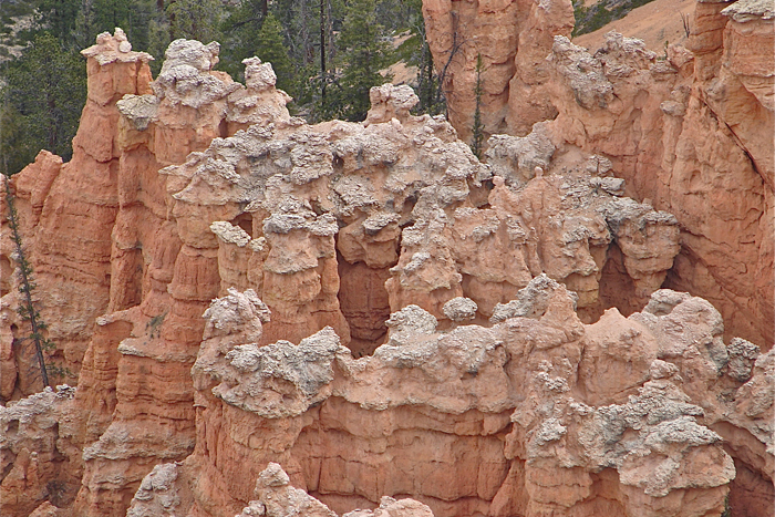
Some of Bryce Canyon’s hoodoos are protected from this rapid erosion by a special, white cap of limestone called dolomite. Dolomite limestone contains a large amount of magnesium and dissolves at a much slower rate, thus protecting the weaker limestone layers under it.
Rain shapers
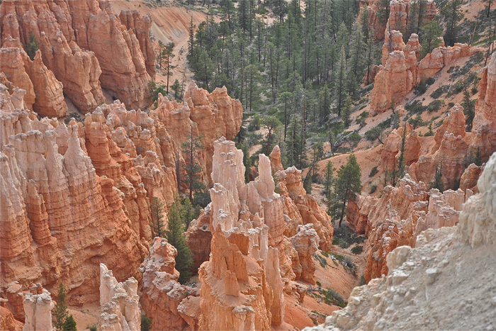
The small amount of rain that does fall upon Bryce Canyon also plays a role in shaping the famous hoodoos. The rain is slightly acidic, resulting in a weak form of carbonic acid which, in turn, dissolves the limestone layers of the hoodoos one grain at a time. It is this erosion from rainfall that gives the hoodoos of Bryce Canyon their bulging and lumpy appearances.


