Human Footprints: Tracking Development From Space
News
By
Becky Oskin
published
Human footprints
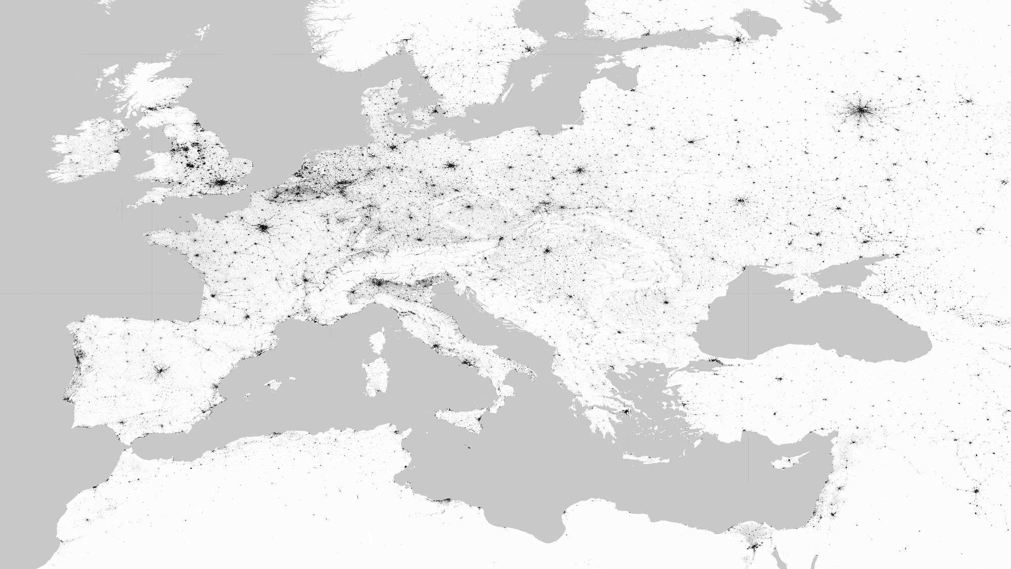
With a project called Global Urban Footprints, scientists use radar imagery to reveal human development around the world.
Minneapolis, United States
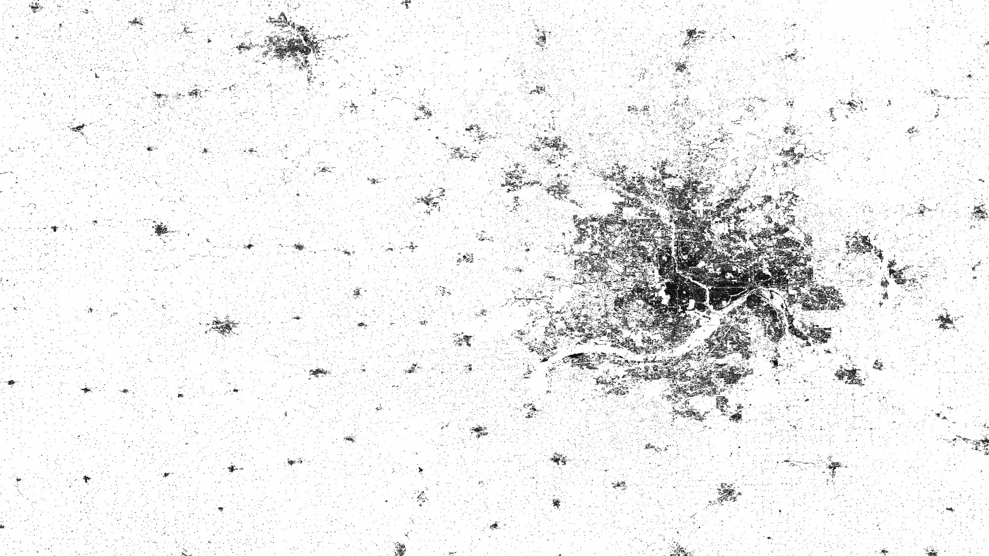
The images are presented in three colors — black for urban areas; white for land surface; and grey for water. Minneapolis, Minnesota, is shown here.
Tokyo, Japan
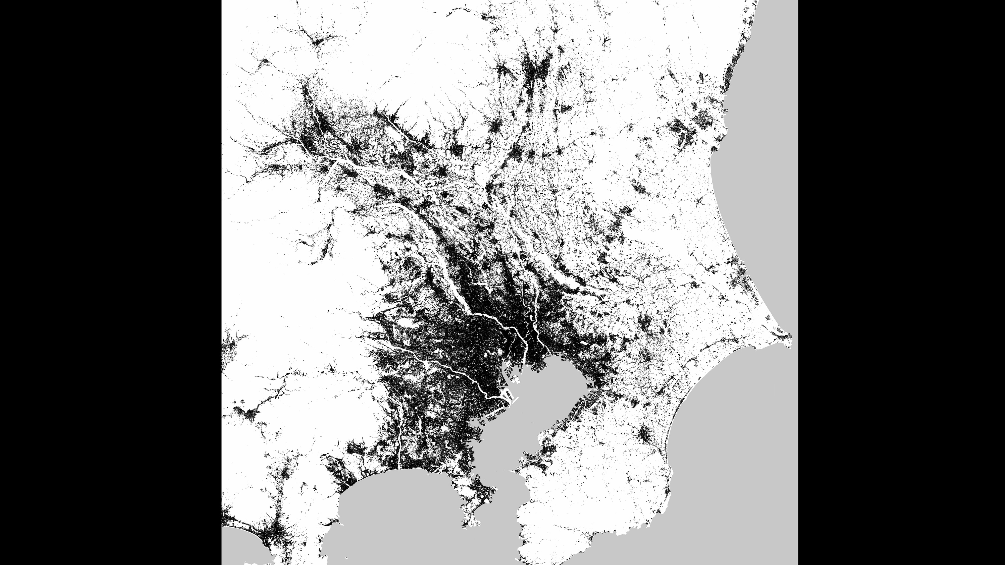
A radar image of Tokyo, Japan.
Tokyo, Japan
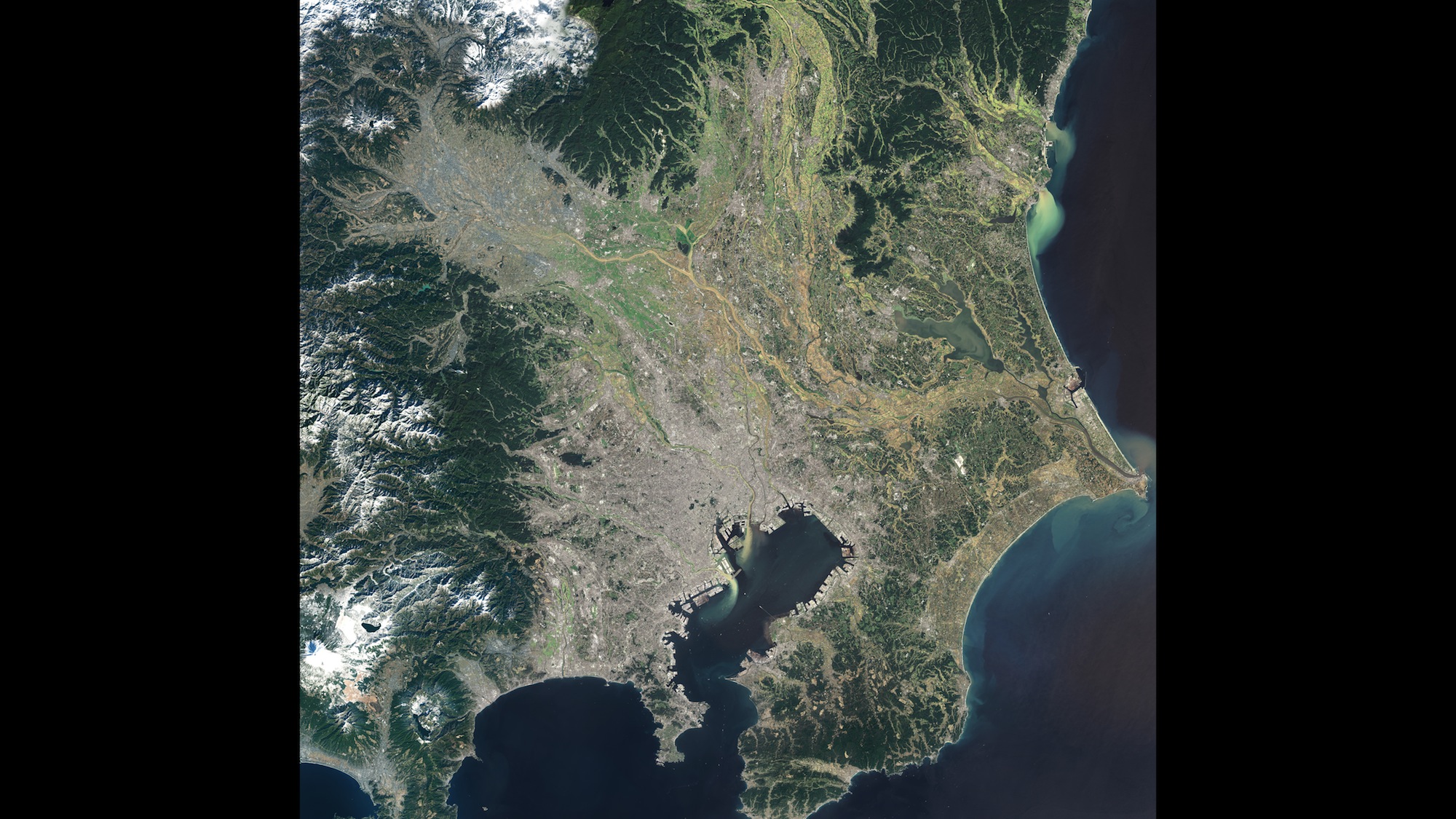
A visible light image of Tokyo, Japan
Cairo, Egypt
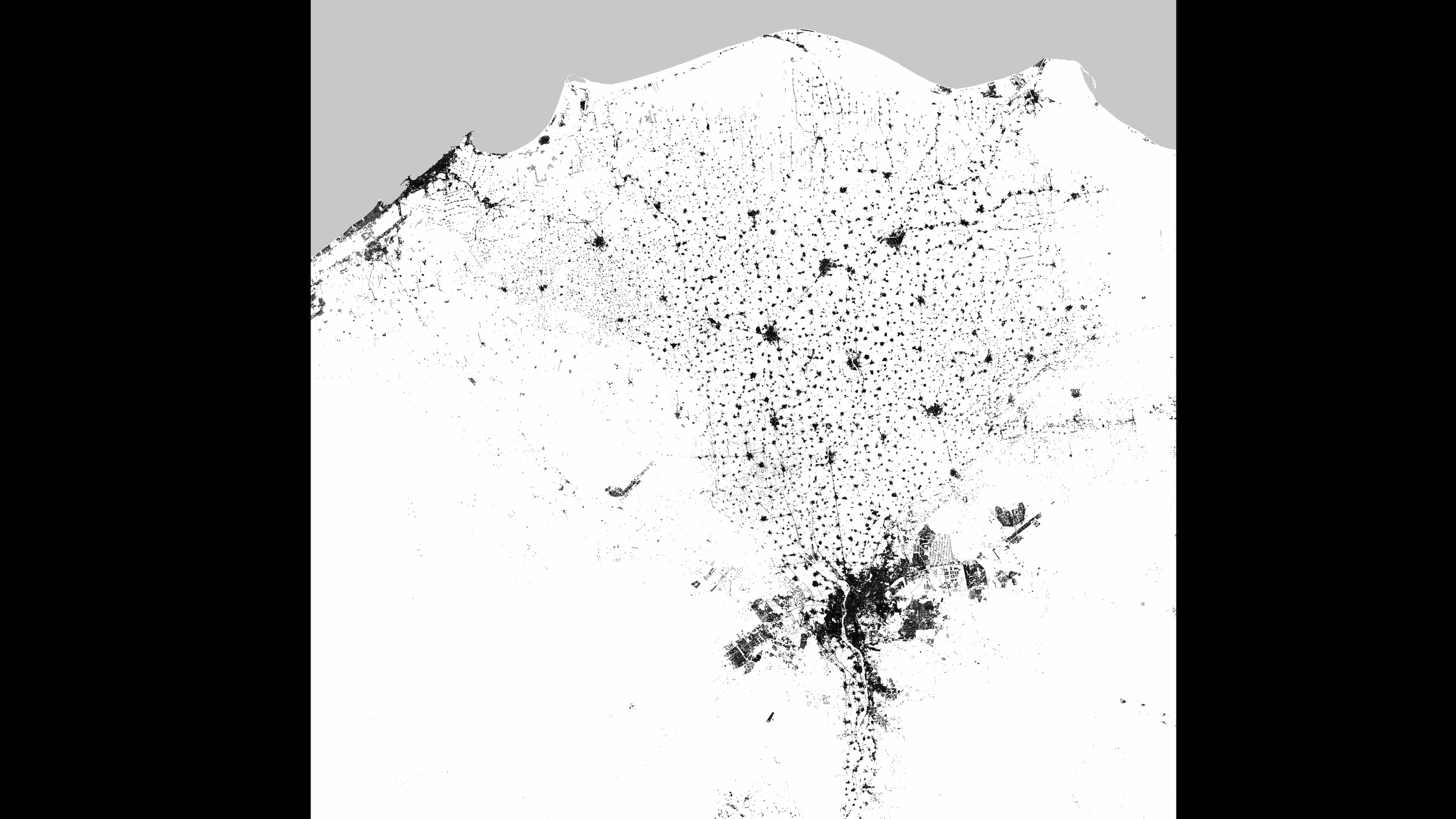
A radar image of Cairo, Egypt.
Brussels, Germany
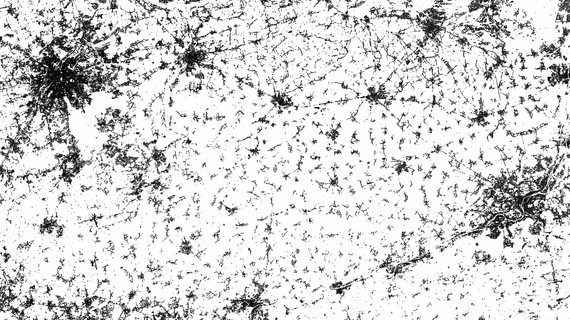
Radar imagery of Brussels, Germany.
Ho Chi Minh City, Vietnam
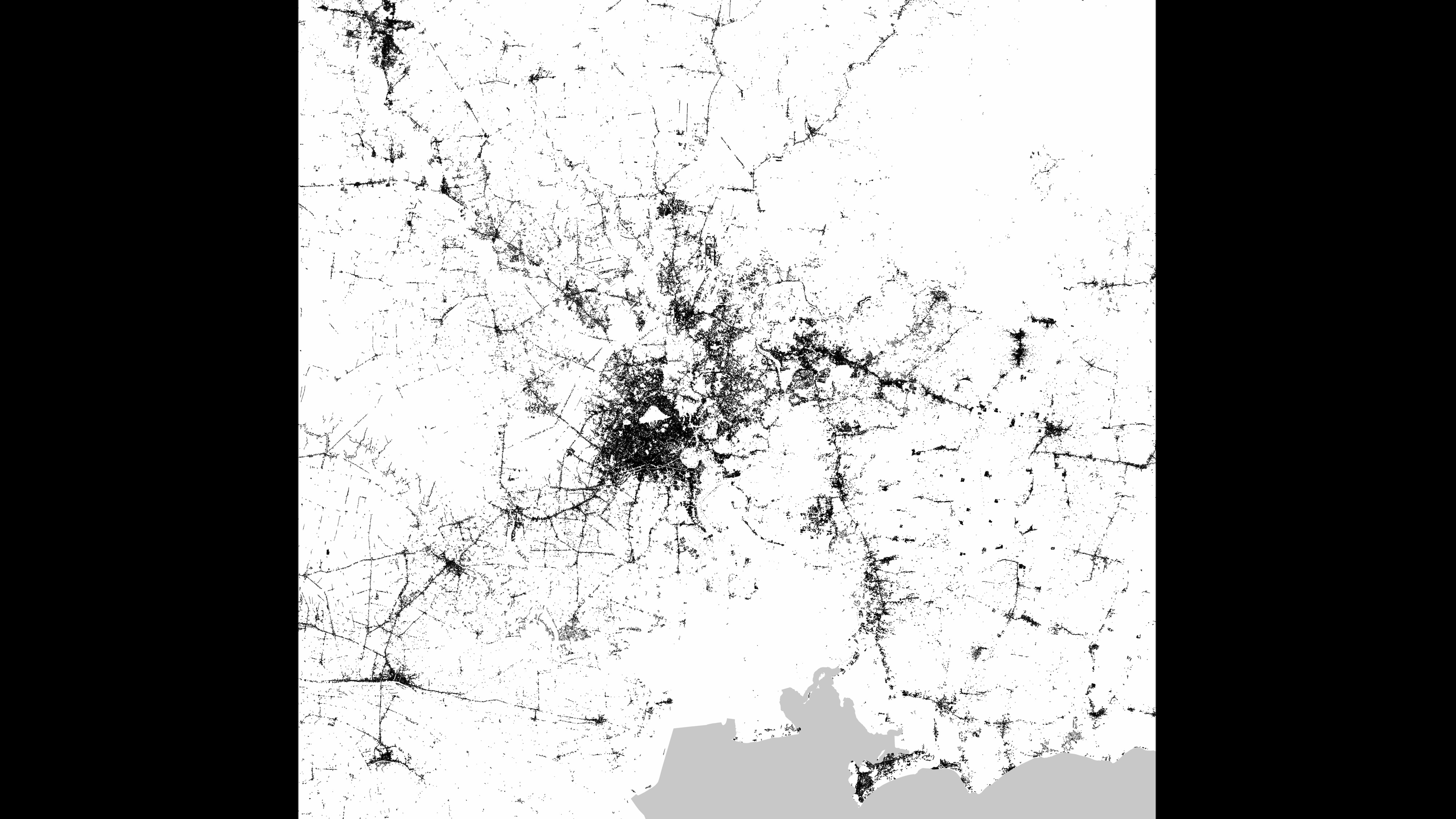
A satellite radar image of Ho Chi Minh City, Vietnam.
Sign up for the Live Science daily newsletter now
Get the world’s most fascinating discoveries delivered straight to your inbox.
Delhi, India
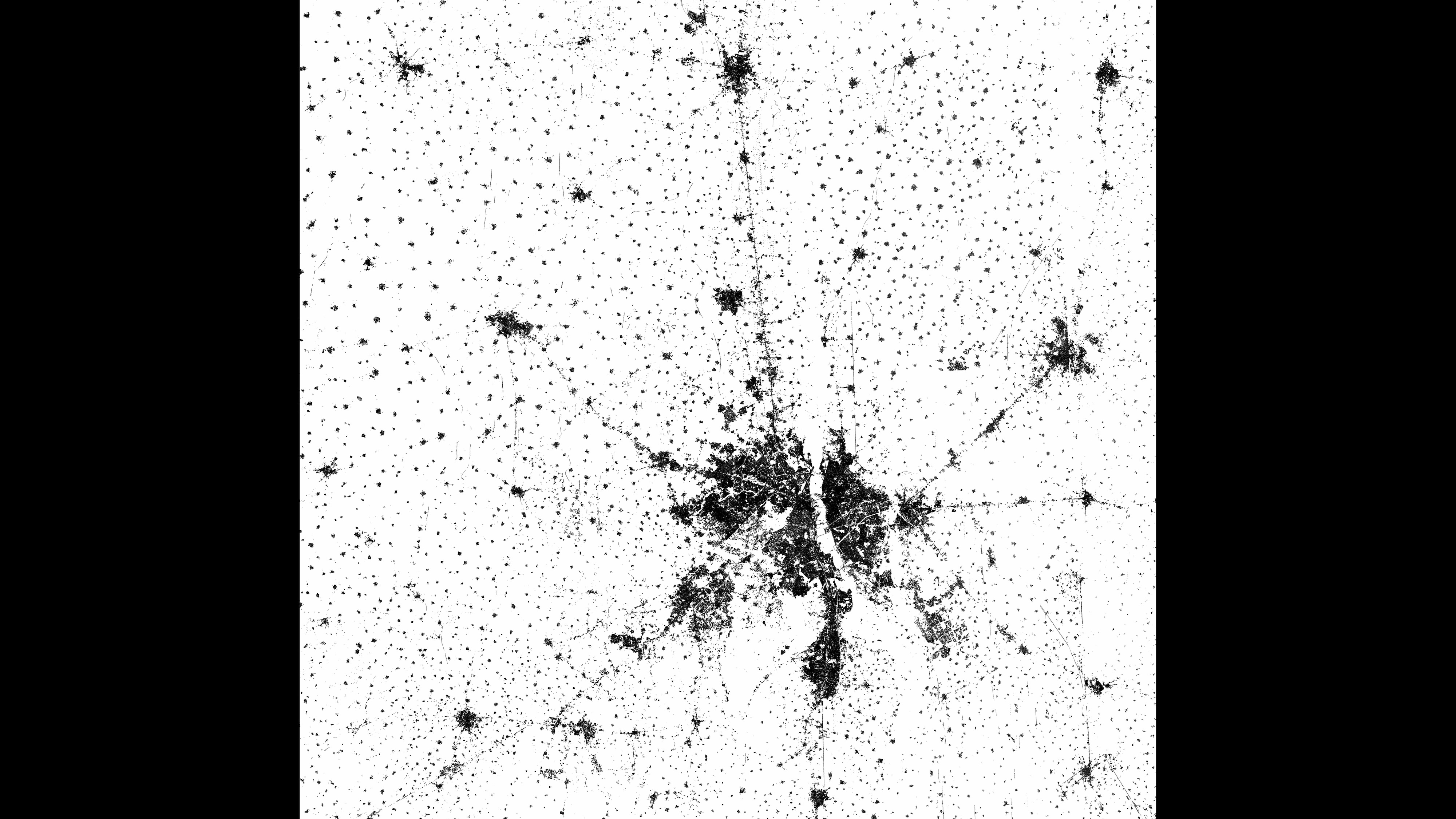
Satellite radar image of Delhi, India.
Delhi, India
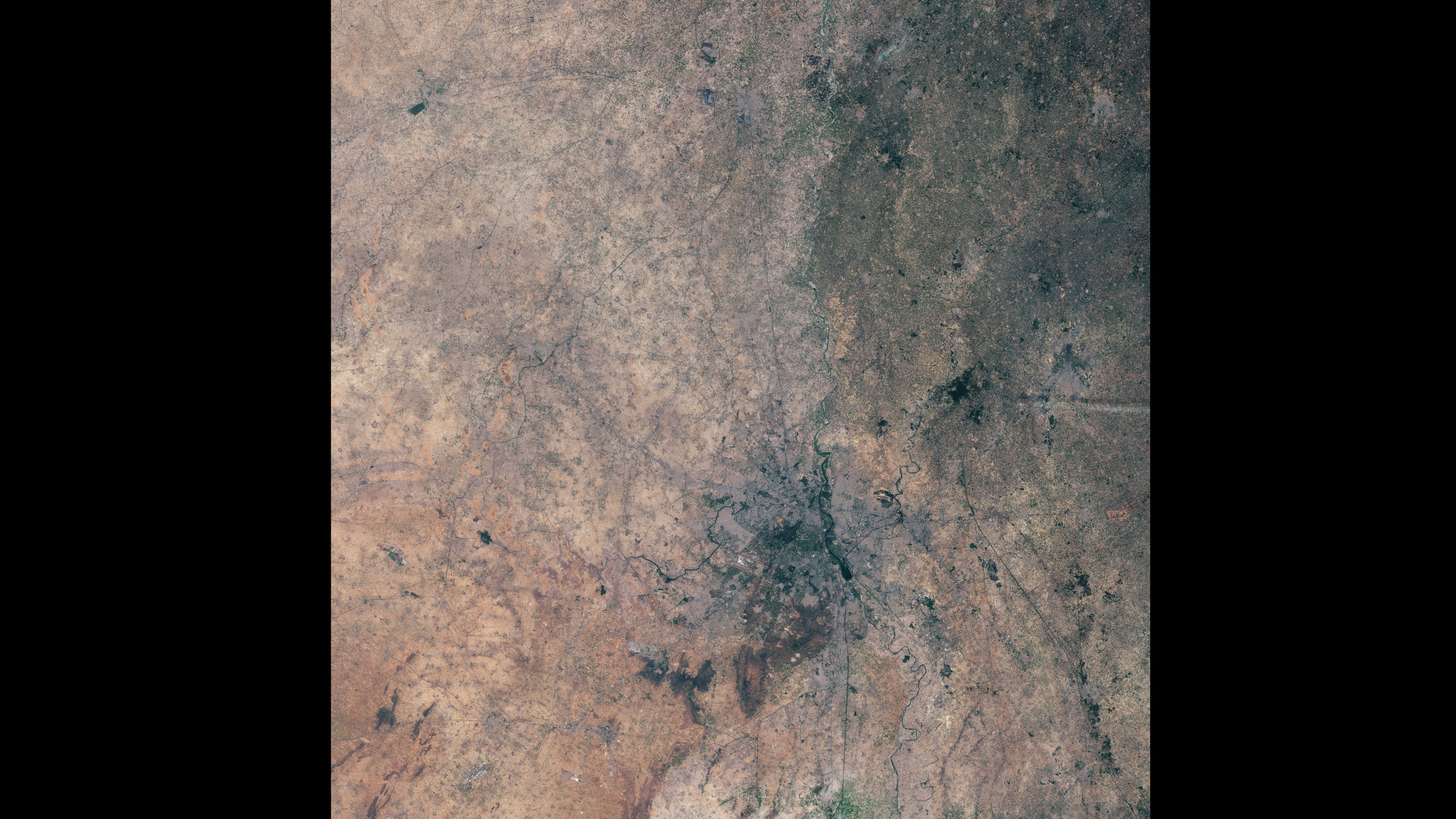
A visible light image of Delhi, India.
Los Angeles, United States
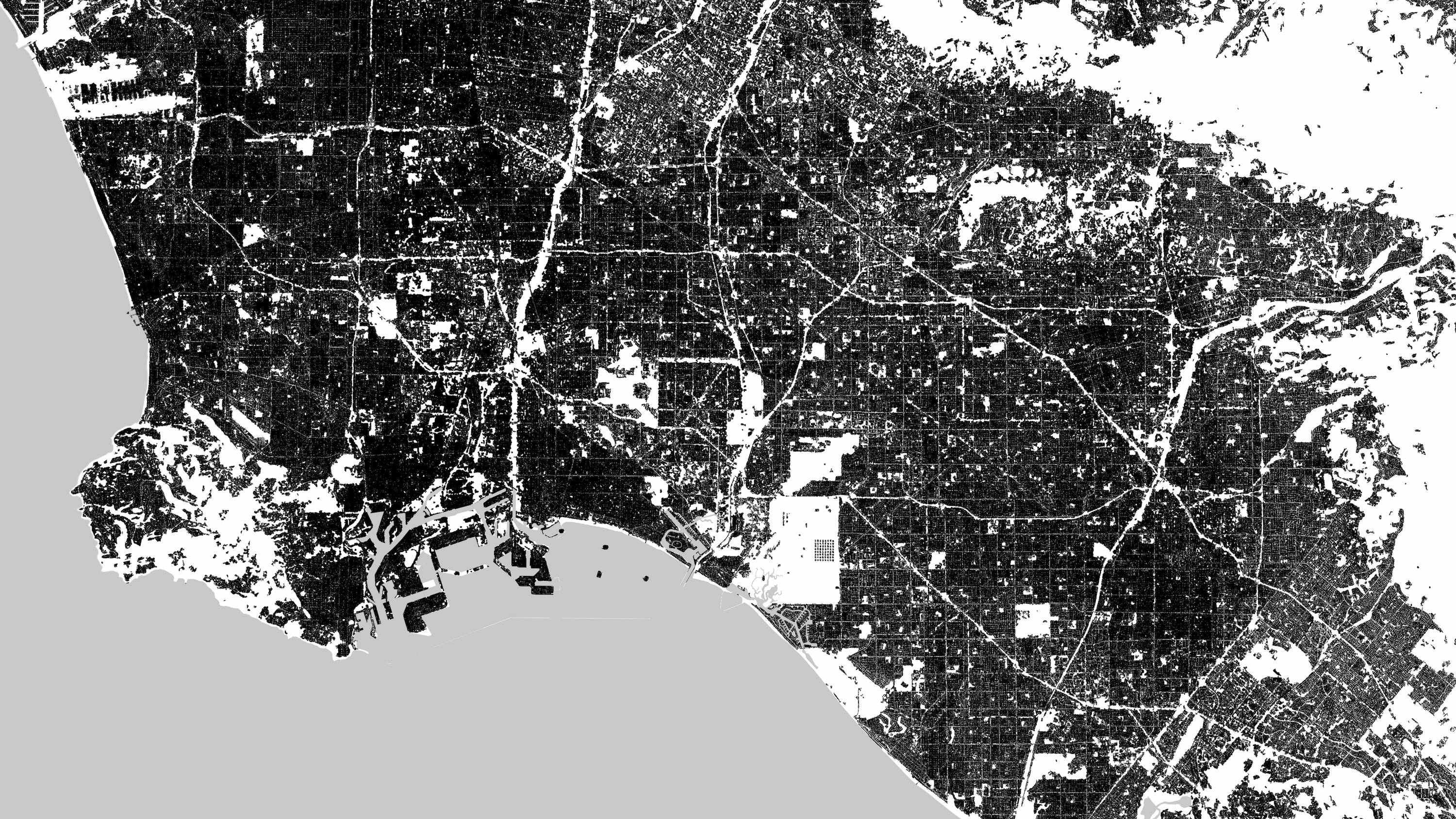
Human development in Los Angeles, California, viewed with satellite radar.
Munich, Germany
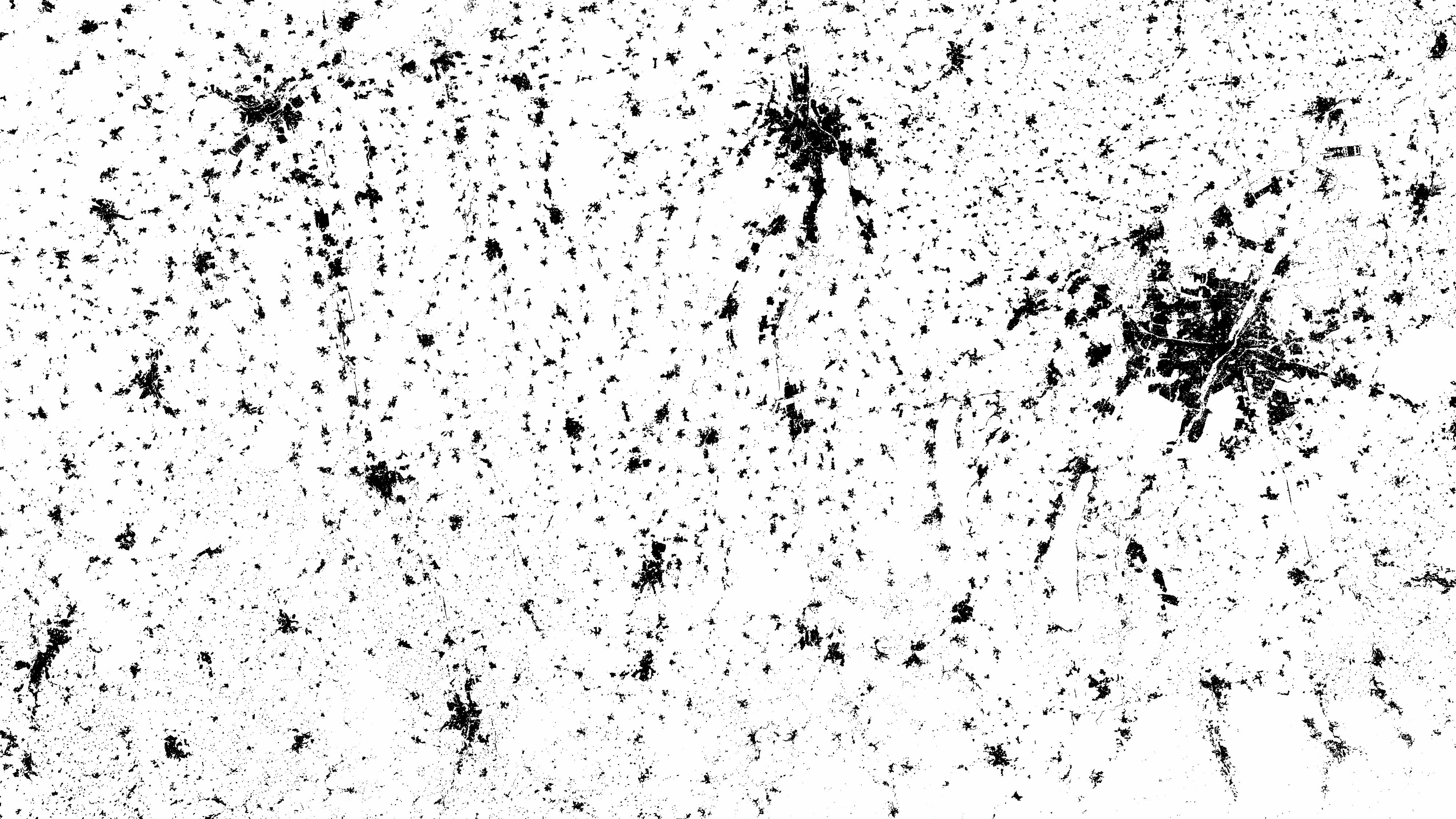
The region around Munich, Germany, viewed with satellite radar.

Contributing Writer
Becky Oskin covers Earth science, climate change and space, as well as general science topics. Becky was a science reporter at Live Science and The Pasadena Star-News; she has freelanced for New Scientist and the American Institute of Physics. She earned a master's degree in geology from Caltech, a bachelor's degree from Washington State University, and a graduate certificate in science writing from the University of California, Santa Cruz.
LATEST ARTICLES


