Photos of Hawaii's Rising Lava Lake
Kilauea Volcano's lava lake emerged in February 2010, nearly two years after Overlook crater appeared on March 19, 2008. The crater formed with a blast, erupting on the floor of Halemau'mau' crater atop Kilauea's summit. In years since, the lava lake's surface has never approached the crater rim as closely as it did in April 2015. [Read the full story.]
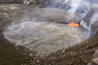
The lava lake in Kilauea volcano on April 26, 2015. This is the highest the lava lake has reached during the current summit eruption. (Photo credit: USGS)
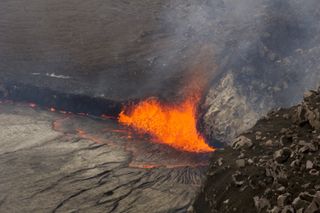
Rocks falling onto the lake surface trigger these small fire fountains. (Photo credit: USGS)
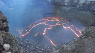
The lava lake surface within Overlook crater at the summit of Kilauea volcano. (Photo credit: USGS)
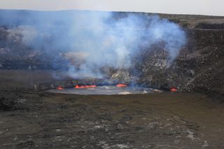
This April 25 photo shows the lava lake from the west side of Halema'uma'u crater. The lava lake was about 30 feet (10 m) below the crater rim. (Photo credit: USGS)
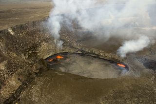
The Overlook crater lava lake on April 23, one day after the lake level started rising. (Photo credit: USGS)
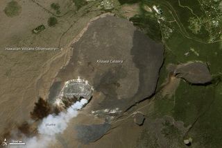
Kilauea's summit in 2012. Volcanic gases mark the location of the lava lake. (Photo credit: NASA Earth Observatory)
Sign up for the Live Science daily newsletter now
Get the world’s most fascinating discoveries delivered straight to your inbox.
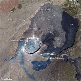
The summit of Kilauea volcano in 2003, before the lava lake emerged. (Photo credit: NASA Earth Observatory)
Follow Becky Oskin @beckyoskin. Follow Live Science @livescience, Facebook & Google+. Originally published on Live Science.


