Predicting El Niño Devastation, Weeks in Advance

Get the world’s most fascinating discoveries delivered straight to your inbox.
You are now subscribed
Your newsletter sign-up was successful
Want to add more newsletters?
Join the club
Get full access to premium articles, exclusive features and a growing list of member rewards.
Raghu Murtugudde is a professor at the University of Maryland's Earth System Science Interdisciplinary Center (ESSIC) and the Department of Atmospheric and Oceanic Science. Murtugudde contributed this article to Live Science's Expert Voices: Op-Ed & Insights.
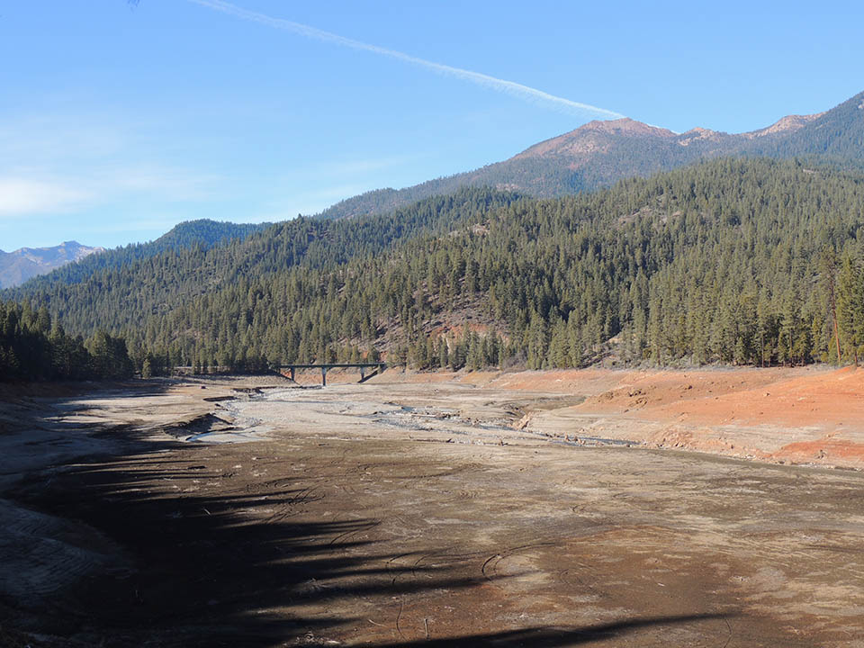
We've all seen the headlines: California is struggling with a historic drought that promises to worsen as the summer wears on. Forecasts of an El Niño in 2014 brought hopes of winter precipitation and much needed relief, but El Niño played truant, as it had just two years prior in 2012. With another El Niño predicted this upcoming winter, now is the perfect time to ask: Why have climate scientists' predictions gone wrong? What are we missing?
The answer most likely lies within the timescale at which we target our forecasts. We can predict the weather to a reasonable degree of accuracy up to ten days in advance, and we can make assumptions about climate on the order of years. But El Niño operates on an intermediate, seasonal scale, and so far it's been difficult to pin down a reliable set of indicators to watch.
Article continues belowWesterly wind bursts
I participated in a recent study, published in Nature Geoscience, that describes the importance of wind bursts originating in the far western Pacific that blow eastward for weeks at a time during the northern hemisphere fall and winter months. It turns out that these previously neglected winds may be critical for the growth of El Niño. Forecasting these high frequency wind bursts, referred to as westerly wind bursts or WWBs, may be fundamental for increasing the reliability of long-lead El Niño forecasts. In short, they could be the indicators we've been looking for to improve our El Niño forecasts and make "false alarms" a thing of the past.
To understand the importance of WWBs, let's take a step back and look at what we already know about how El Niño works. In normal years, tropical trade winds blow from the east to the west across the Pacific, pushing warm surface waters from South America towards Australia and Asia. As the Earth spins around its axis, the water is also pushed away from the equator due to a phenomenon called the Coriolis effect. (To picture this, imagine the sideward push you feel when riding a merry-go-round).
As the warm surface water moves westward and poleward, colder waters are brought to the surface in the eastern Pacific, along the coast of South America and near the Galapagos Islands. This process is called upwelling, and forms a "tongue" of cold water that extends westward from South America along the equator. At the same time, the warm surface waters collect more heat from the atmosphere as they move further westward, and form a warm pool near New Guinea, Australia and the Philippines.
Get the world’s most fascinating discoveries delivered straight to your inbox.
The warm pool heats the air above it, kicking off a cycle that dumps up to five meters of rain each year over the western Pacific. But every few years, the trade winds relax and the warm water held up in the western Pacific sloshes back towards South America, taking the rainfall with it.
That large-scale inversion of the normal pattern affects global weather and climate, giving rise to droughts and dust storms in Asia, flooding and mudslides throughout the Americas, and other effects that can be felt as far away as Europe and North Africa. The warmest waters hit the South American coast around Christmas. Seeing the anomalous warm waters as an auspiciously timed gift from God, 19th century Spanish settlers named the phenomenon El Niño, or "the Christ Child."
El Niño is never the same
Over the last several decades, scientists have learned that the warm pool waters do not always slosh all the way back to the South American coast. Sometimes they get stuck around the international date line, but more often than not they will at least reach the Galapagos Islands. Only in extreme cases, such as the El Niño events of 1982 to 1983 and 1997 to 1998, does the warming manage to reach the past the Galapagos to the coasts of North and South America, bringing about the most severe effects. Thus, El Niño has several varieties, or "flavors."
The date line or warm pool El Niño occurs when the warming is limited to the western Pacific around the date line, and although it has a severe effect on Indian and Indonesian rainfall, the Americas remain largely unaffected.
Canonical or cold tongue El Niño is more common, with the warming covering the region from the date line to the Galapagos and can bring moderate weather perturbations to the Americas and Asia, reaching as far as Africa.
The extreme El Niño is much more rare and can wreak havoc, causing excess rains and storms in some regions such as the southwestern United States and dust storms and forest fires in Australia and Indonesia.
WWBs play a crucial role in determining which flavor of El Niño may evolve. They are not exactly weather, since they can last for weeks and occur only two or three times a year. Neither are they a climate phenomenon, since they occur in bursts at subseasonal timescales. They are instead called intraseasonal variabilities, and are typically random and hard to predict. They push the eastern edge of the warm pool further eastward at a speed of fewer than 10 kilometers per day.
But when the WWBs are strong and extend eastward of the date line, they can set off eastward propagating waves that travel along the equator at speeds of more than 250 kilometers per day, reaching the Americas in about three months. These waves push the cold waters down around the Galapagos and along the coasts of the Americas, creating warm surface waters that further weaken the trade winds and create a powerful feedback loop. The El Niño can grow quickly in such cases, producing a severe event like the devastation that emerged in the summer and fall of 1997.
Forecasting El Niño
While WWBs are hard to predict initially, they do have a strong and predictable growth pattern once they manage to push the warm pool eastward past the date line. The greatest hope for improving El Niño forecasting now depends on extending the range of weather forecasting from a few days to several weeks in order to capture the onset of WWBs. The 2014 El Niño forecast failed largely because climate scientists did not predict that the WWBs would be unable to push the warm pool past the date line.
We now wait eagerly to see if the WWBs will begin to push the warm pool past the date line. If they do, it is highly likely the WWBs will bring about either a cold tongue El Niño or an extreme El Niño as we experienced in 1997.
The parched state of California would do well with an extreme El Niño. The U.S. National Oceanic and Atmospheric Administration (NOAA) has recognized that forecasts on the order of two to four weeks are a high priority, and has already initiated experimental forecasting at those timescales.
A crucial next step is to integrate this longer-term weather forecasting with existing El Niño forecasting within NOAA, in order to deliver much needed long-lead El Niño forecasts with greater skill and reliability.
Follow all of the Expert Voices issues and debates — and become part of the discussion — on Facebook, Twitter and Google+. The views expressed are those of the author and do not necessarily reflect the views of the publisher. This version of the article was originally published on Live Science.
 Live Science Plus


