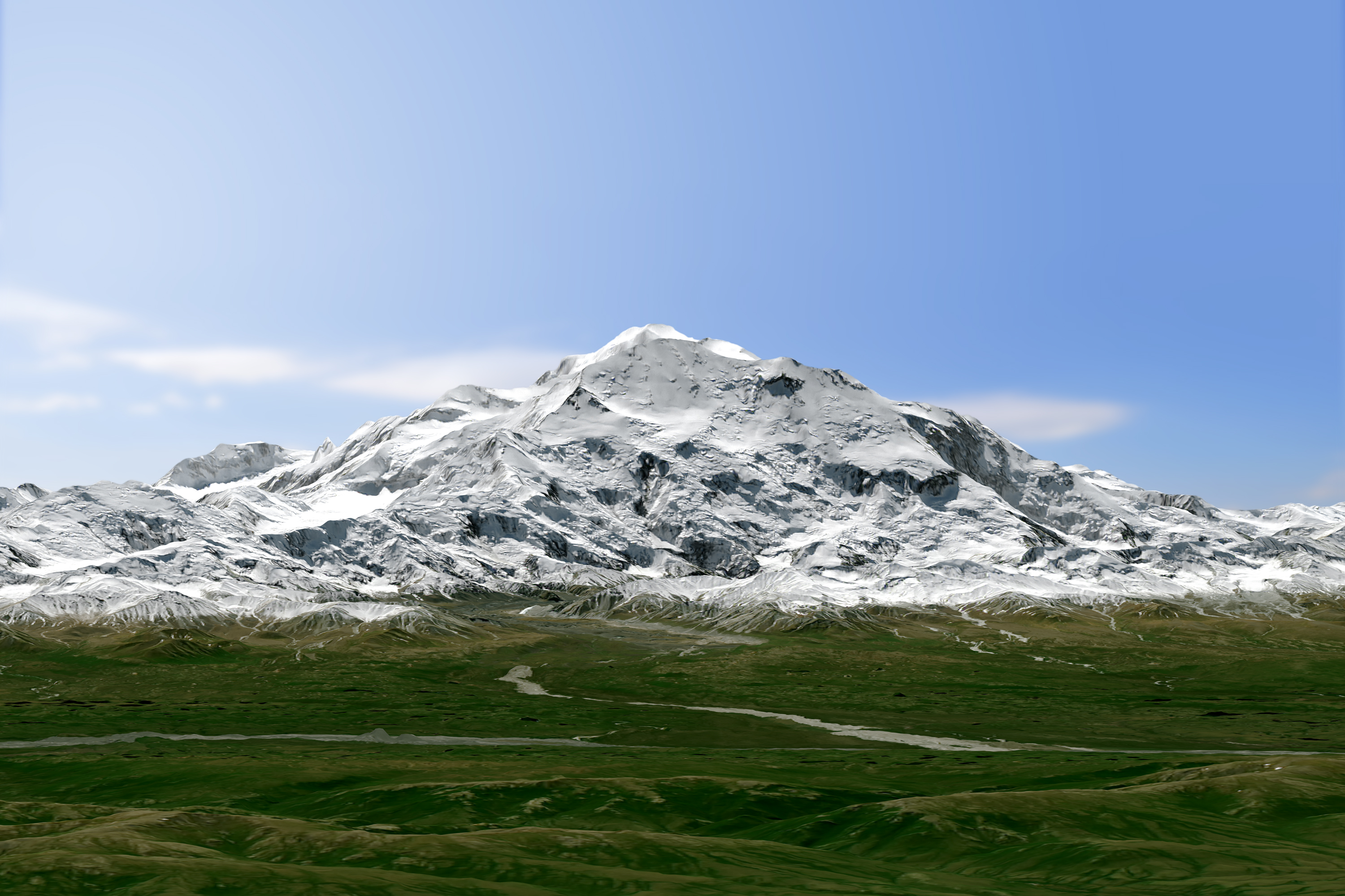
Denali's Digits: North America's Tallest Peak 'Shrinks' by 10 Feet

Denali — the tallest peak in North America — not only has a new name (or, more accurately, its old name), but a new official height, geologists announced Wednesday (Sept. 2).
The Alaskan mountain had been called Mount McKinley until Sunday (Aug. 30), when Secretary of the Interior Sally Jewell said it would officially be given its former name — Denali, which translates to "the tall one." But "the tall one" is not quite as tall, it seems, as geologists once thought: The newly measured height of 20,310 feet (6,190 m) is 10 feet less than the official altitude of 20,320 feet established in 1953 by Bradford Washburn, a mountaineer, photographer and cartographer. (Not to worry, the peak is still the tallest in North America, followed by Canada's Mount Logan, with an elevation of 19,551 feet, or 5,959 m.)
Washburn calculated the peak's height using aerial photographs and a triangulation method. Mountains can be thought of as simple triangles for measurement purposes. In that sense, a surveyor can calculate the distance between two points on the ground and the angles between the top of the mountain and each of those points. [Photos: The World's Tallest Mountains]
"If you have two angles, you know the third, because the sum of the angles is 180 [degrees]," Peter Molnar, a geologist at the University of Colorado, Boulder told Live Science in May, referring to the measurement of Mount Everest's height.
Advances in technology, primarily the introduction of global positioning systems (GPS), have led to more accurate information on the elevation across Earth's surface.
Other measuring methods have produced different estimates of Denali's height. In 2013, scientists surveyed Denali with a remote-sensing technique called interferometric synthetic aperture radar (InSAR), which relies on radar signals to show elevation changes. The result? The method pegged Denali's summit at 20,237 feet (6,168 m). Though the technique can be effective at providing broad elevations for maps, it doesn't churn out precise spot elevations, particularly in steep terrain, the U.S. Geological Survey (USGS) noted.
"It does some things really well — it penetrates clouds and smoke — but it's not a high-accuracy survey," said Blaine Horner, of the survey company CompassData. "It's more of a medium-sized brush."
Get the world’s most fascinating discoveries delivered straight to your inbox.
In fact, geologists in the field didn't think the new 20,237-foot height estimate — an 83-foot drop from the 1950s number — was precise because it hadn't been peer reviewed and there were inherent errors involved in the measurement.
"Radar will not ever be as accurate as boots on the ground," Horner told Live Science.
To get a more precise number, a team of climbers, led by Horner, installed two GPS receiver antennas at the mountain's summit and one lower down on the mountain. Signals from satellites gave precise locations for these antennas to make results from triangulation more precise. Easy, right?
Nope. Installing those antennas meant the scientists and climbers had to make a steep trek all the way to Denali's summit. Besides the physical challenges, the team also had to work night shifts. [How to Measure a Mountain's Height]
Even though Denali is one of the coldest places on Earth, on the lower parts of the mountain, weather can be relatively warm. That can make for risky climbing when the only thing between you and a fatal fall through a crevasse, or deep crack in the glacier, is a layer of sometimes-frozen snow.
"When that snow is frozen, you walk right across [the crevasse], but once it gets really hot, that snow bridge may not support you anymore," Horner told Live Science. To beat the heat when beginning their ascent of Kahiltna Glacier, the researchers scheduled their activities seemingly backward in time, waking up at 9 or 10 p.m. and beginning their hike at 1 a.m. so that they would get to camp by "night" at 7 a.m., he said.
They started their trek in mid-June, when the sun is in the sky about 24 hours a day in that region, so they didn't need flashlights for the nighttime hiking.
The final height estimate accounted for various factors, including the depth of the snowpack and the average sea level.
The majestic mountain has more accurate digits, something that is both practical — particularly for earth scientists and even mountaineers, pilots and geographers — and important information for the public, Suzette Kimball, USGS acting director, said in a statement.
"It is inspiring to think we can measure this magnificent peak with such accuracy," Kimball said. "This is a feeling everyone can share, whether you happen to be an armchair explorer or an experienced mountain climber."
Follow Jeanna Bryner on Twitter and Google+. Follow us @livescience, Facebook & Google+. Original article on LiveScience.
Jeanna Bryner is managing editor of Scientific American. Previously she was editor in chief of Live Science and, prior to that, an editor at Scholastic's Science World magazine. Bryner has an English degree from Salisbury University, a master's degree in biogeochemistry and environmental sciences from the University of Maryland and a graduate science journalism degree from New York University. She has worked as a biologist in Florida, where she monitored wetlands and did field surveys for endangered species, including the gorgeous Florida Scrub Jay. She also received an ocean sciences journalism fellowship from the Woods Hole Oceanographic Institution. She is a firm believer that science is for everyone and that just about everything can be viewed through the lens of science.


