How Antarctica Got Its Ice

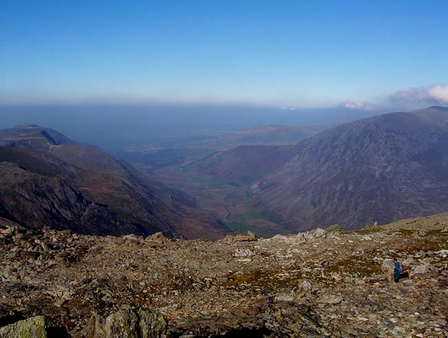
Antarctica is a massive block of ice today, but it used to more simply be a range of glacier-topped mountains like those found in Alaska and the Alps.
The strange continent's thick ice sheets formed tens of millions of years ago against an Alpine-style backbone of mountains during a period of significant climate change, a new study finds.
The Antarctic continent now is covered almost entirely by ice that averages about a mile (1.6 kilometers) thick.
Scientists have known for some time that the Antarctic Ice Sheet formed around 14 million years ago, "but we didn't know how it formed," said study team member Martin Siegert of the University of Edinburgh in Scotland.
Specifically, researchers had little idea of the topography that lies underneath the thick layers of ice, which would provide clues to the history of ice on the southernmost continent, as well as inform models of how current ice flow might be impacted by climate change.
So little was known about the landforms beneath the Antarctic ice, in fact, that scientists had more information about the geography of the surface of Mars than at the Earth's own South Pole.
At a site called Dome A (the highest ice feature in Antarctica), only one Soviet traverse in 1957-58 and one radar flight in the 1970s had looked for topography below the ice. These studies showed that a mountain range, dubbed the Gamburtsev mountains, sat beneath the ice, but little detail was known about them or the rest of the sub-ice topography.
Sign up for the Live Science daily newsletter now
Get the world’s most fascinating discoveries delivered straight to your inbox.
That changed with a detailed radar survey conducted in 2004-05 and 2007-08 by Chinese glaciologists over an 11.5 square mile (30 square kilometer) section of the region.
The radar study, detailed in the June 4 issue of the journal Nature, showed the Gamburtsev mountains in greater detail.
Antarctic Alps
The topographical features show a landscape carved out by small glaciers, much like the European Alps.
The climate required to allow these glaciers to form and flow started around 34 million years ago, at the end of the Eocene epoch. Small changes in Earth's orbit likely drove the glaciers to advance and recede (just at these glaciers that once covered North America did).
The glaciers carved out valleys that had already been worn in by river flow, changing the topography. Once the expansive ice sheets that now cover the continent began to form, they preserved these landforms in frigid perpetuity.
More radar surveys of Antarctica are already underway and Siegert said these should gives scientists a much better picture of what is hiding under all that ice.
Knowing what topographical features sit below the ice helps scientists better model how the ice flows around those features.
"It allows us to understand how ice flows in Antarctica," Siegert said. "The topography has a major influence on the ice flow of Antarctica."
With a better understanding of ice flow, scientists can better model how Antarctica's ice will respond to changes in Earth's climate, which have already affected ice shelves in parts of Antarctica.
The work was funded by the National Natural Science Foundation of China, the International Polar Year program CHINARE, and the UK Natural Environment Research Council.
- Video – Antarctic Iceberg Scouring
- Antarctica Is Warming: Climate Picture Clears Up
- Images: Ice of the Antarctic

Andrea Thompson is an associate editor at Scientific American, where she covers sustainability, energy and the environment. Prior to that, she was a senior writer covering climate science at Climate Central and a reporter and editor at Live Science, where she primarily covered Earth science and the environment. She holds a graduate degree in science health and environmental reporting from New York University, as well as a bachelor of science and and masters of science in atmospheric chemistry from the Georgia Institute of Technology.


