Watch Earth Spin Through a Full Year in This Spectacular Time-Lapse Video
Talk about "As the World Turns": A sped-up video of Earth spinning through space shows a dizzying array of clouds and continents from a satellite located 1 million miles (1.6 million kilometers) away.
The time-lapse video of 3,000 images shows pictures taken every 2 hours. The pictures come courtesy of the EPIC camera on the Deep Space Climate Observatory (DSCOVR) satellite. The satellite is located at a gravitationally stable spot in space between the Earth and the sun known as a Lagrange point.
"EPIC takes a new picture every 2 hours ... capturing the ever-changing motion of clouds and weather systems and the fixed features of Earth such as deserts, forests and the distinct blues of different seas," NASA Goddard officials wrote in the video's description. [DSCOVR: The ;Deep Space Climate Observatory Mission in Photos]
"EPIC will allow scientists to monitor ozone and aerosol levels in Earth's atmosphere, cloud height, vegetation properties and the ultraviolet reflectivity of Earth," the officialsy said.
The first picture from this spacecraft was sent on July 26, 2015, EPIC's lead scientist, Jay Herman, said during the video's narration. From EPIC's vantage point hanging in space, the instrument records images in 10 different wavelengths. Those wavelengths of light are then combined to create an image close to what the human eye would see.
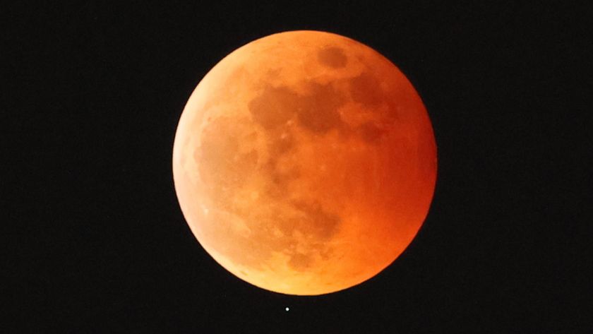
The video slows down briefly to show the moon's shadow racing across Earth in March 2016, during a total lunar eclipse. The spacecraft also records the sun rising and setting about 13 times each day from itsthe satellite's perspective.
One of EPIC's scientific goals is to track the motion of clouds, which reflect light from the sun and keep the planet cool. They also trap heat from the Earth's surface, Herman said, so changes in cloud cover affect the heat balance of the planet.
Sign up for the Live Science daily newsletter now
Get the world’s most fascinating discoveries delivered straight to your inbox.
But the primary scientific goal of DSCOVR is to monitor the constant stream of charged particles that fly from the sun, known as the solar wind. Providing better forecasts of the solar wind helps the National Oceanic and Atmospheric Administration (NOAA) create real-time alerts about solar activity, which can affect satellites and power lines.
DSCOVR is a partnership amongst NASA, NOAA and the U.S. Air Force.
Follow Elizabeth Howell @howellspace, or Space.com @Spacedotcom. We're also on Facebook and Google+. Original article on Space.com.

Elizabeth Howell was staff reporter at Space.com between 2022 and 2024 and a regular contributor to Live Science and Space.com between 2012 and 2022. Elizabeth's reporting includes multiple exclusives with the White House, speaking several times with the International Space Station, witnessing five human spaceflight launches on two continents, flying parabolic, working inside a spacesuit, and participating in a simulated Mars mission. Her latest book, "Why Am I Taller?" (ECW Press, 2022) is co-written with astronaut Dave Williams.
Most Popular


